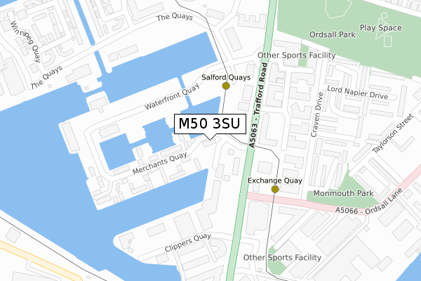
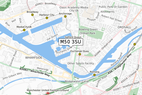
M50 3SU is located in the Quays electoral ward, within the metropolitan district of Salford and the English Parliamentary constituency of Salford and Eccles. The Sub Integrated Care Board (ICB) Location is NHS Greater Manchester ICB - 01G and the police force is Greater Manchester. This postcode has been in use since October 2017.


GetTheData
Source: OS Open Zoomstack (Ordnance Survey)
Licence: Open Government Licence (requires attribution)
Attribution: Contains OS data © Crown copyright and database right 2025
Source: Open Postcode Geo
Licence: Open Government Licence (requires attribution)
Attribution: Contains OS data © Crown copyright and database right 2025; Contains Royal Mail data © Royal Mail copyright and database right 2025; Source: Office for National Statistics licensed under the Open Government Licence v.3.0
| Easting | 381211 |
| Northing | 397005 |
| Latitude | 53.469459 |
| Longitude | -2.284511 |
GetTheData
Source: Open Postcode Geo
Licence: Open Government Licence
| Country | England |
| Postcode District | M50 |
➜ See where M50 is on a map ➜ Where is Salford? | |
GetTheData
Source: Land Registry Price Paid Data
Licence: Open Government Licence
| Ward | Quays |
| Constituency | Salford And Eccles |
GetTheData
Source: ONS Postcode Database
Licence: Open Government Licence
| Trafford Rd/Merchants Quay (Trafford Rd) | Salford Quays | 131m |
| Trafford Rd/Merchants Quay (Trafford Rd) | Salford Quays | 140m |
| Ordsall Ln/Trafford Rd (Ordsall Ln) | Salford Quays | 194m |
| Trafford Rd/Clippers Quay (Trafford Rd) | Salford Quays | 200m |
| Trafford Rd/Dock Office (Trafford Rd) | Ordsall | 271m |
| Salford Quays (Manchester Metrolink) (St Peters Quay) | Salford Quays | 95m |
| Exchange Quay (Manchester Metrolink) (Exchange Quay) | Salford Quays | 281m |
| Anchorage (Manchester Metrolink) (Anchorage Quay) | Salford Quays | 578m |
| Pomona (Manchester Metrolink) (Pomona Strand) | Salford Quays | 631m |
| Harbour City (Manchester Metrolink) (The Quays) | The Lowry | 717m |
| Manchester United FC Station | 0.9km |
| Salford Crescent Station | 2km |
| Deansgate Station | 2.3km |
GetTheData
Source: NaPTAN
Licence: Open Government Licence
GetTheData
Source: ONS Postcode Database
Licence: Open Government Licence


➜ Get more ratings from the Food Standards Agency
GetTheData
Source: Food Standards Agency
Licence: FSA terms & conditions
| Last Collection | |||
|---|---|---|---|
| Location | Mon-Fri | Sat | Distance |
| Merchants Quay | 17:30 | 11:45 | 14m |
| Exchange Quay | 17:30 | 11:45 | 278m |
| Dallas Court | 17:30 | 11:45 | 284m |
GetTheData
Source: Dracos
Licence: Creative Commons Attribution-ShareAlike
| Risk of M50 3SU flooding from rivers and sea | Low |
| ➜ M50 3SU flood map | |
GetTheData
Source: Open Flood Risk by Postcode
Licence: Open Government Licence
The below table lists the International Territorial Level (ITL) codes (formerly Nomenclature of Territorial Units for Statistics (NUTS) codes) and Local Administrative Units (LAU) codes for M50 3SU:
| ITL 1 Code | Name |
|---|---|
| TLD | North West (England) |
| ITL 2 Code | Name |
| TLD3 | Greater Manchester |
| ITL 3 Code | Name |
| TLD34 | Greater Manchester South West |
| LAU 1 Code | Name |
| E08000006 | Salford |
GetTheData
Source: ONS Postcode Directory
Licence: Open Government Licence
The below table lists the Census Output Area (OA), Lower Layer Super Output Area (LSOA), and Middle Layer Super Output Area (MSOA) for M50 3SU:
| Code | Name | |
|---|---|---|
| OA | E00168579 | |
| LSOA | E01032686 | Salford 028F |
| MSOA | E02001184 | Salford 028 |
GetTheData
Source: ONS Postcode Directory
Licence: Open Government Licence
| M50 3XR | Merchants Quay | 100m |
| M50 3XF | Merchants Quay | 122m |
| M5 3DL | Elmira Way | 198m |
| M5 3DH | Elmira Way | 198m |
| M5 3DR | Elmira Way | 203m |
| M50 3XG | Merchants Quay | 206m |
| M5 3DE | Elmira Way | 206m |
| M50 3BL | Clippers Quay | 213m |
| M50 3BN | Clippers Quay | 213m |
| M50 3BP | Clippers Quay | 213m |
GetTheData
Source: Open Postcode Geo; Land Registry Price Paid Data
Licence: Open Government Licence