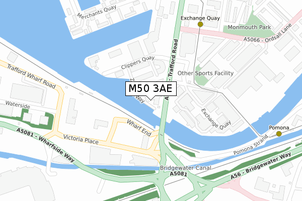
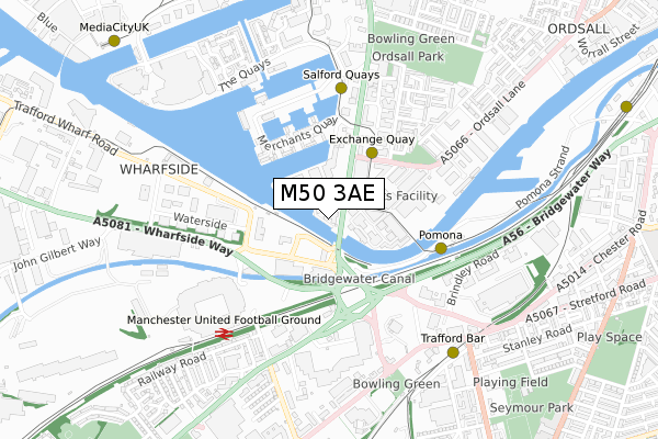
M50 3AE is located in the Quays electoral ward, within the metropolitan district of Salford and the English Parliamentary constituency of Salford and Eccles. The Sub Integrated Care Board (ICB) Location is NHS Greater Manchester ICB - 01G and the police force is Greater Manchester. This postcode has been in use since July 2018.


GetTheData
Source: OS Open Zoomstack (Ordnance Survey)
Licence: Open Government Licence (requires attribution)
Attribution: Contains OS data © Crown copyright and database right 2024
Source: Open Postcode Geo
Licence: Open Government Licence (requires attribution)
Attribution: Contains OS data © Crown copyright and database right 2024; Contains Royal Mail data © Royal Mail copyright and database right 2024; Source: Office for National Statistics licensed under the Open Government Licence v.3.0
| Easting | 381201 |
| Northing | 396636 |
| Latitude | 53.466142 |
| Longitude | -2.284639 |
GetTheData
Source: Open Postcode Geo
Licence: Open Government Licence
| Country | England |
| Postcode District | M50 |
➜ See where M50 is on a map ➜ Where is Salford? | |
GetTheData
Source: Land Registry Price Paid Data
Licence: Open Government Licence
| Ward | Quays |
| Constituency | Salford And Eccles |
GetTheData
Source: ONS Postcode Database
Licence: Open Government Licence
| Trafford Rd/Exchange Quay (Trafford Rd) | Salford Quays | 127m |
| Clippers Quay/Optimum House (Clippers Quay) | Salford Quays | 155m |
| Trafford Wharf Road/Trafford Road (Wharf Road) | Salford Quays | 166m |
| Trafford Wharf Road/Trafford Road (Traff Wharf Rd) | Old Trafford | 183m |
| Trafford Rd/Clippers Quay (Trafford Rd) | Salford Quays | 187m |
| Exchange Quay (Manchester Metrolink) (Exchange Quay) | Salford Quays | 185m |
| Pomona (Manchester Metrolink) (Pomona Strand) | Salford Quays | 434m |
| Salford Quays (Manchester Metrolink) (St Peters Quay) | Salford Quays | 459m |
| Trafford Bar (Manchester Metrolink) (Seymour Grove) | Trafford Bar | 698m |
| Anchorage (Manchester Metrolink) (Anchorage Quay) | Salford Quays | 943m |
| Manchester United FC Station | 0.6km |
| Trafford Park Station | 2.1km |
| Salford Crescent Station | 2.4km |
GetTheData
Source: NaPTAN
Licence: Open Government Licence
GetTheData
Source: ONS Postcode Database
Licence: Open Government Licence


➜ Get more ratings from the Food Standards Agency
GetTheData
Source: Food Standards Agency
Licence: FSA terms & conditions
| Last Collection | |||
|---|---|---|---|
| Location | Mon-Fri | Sat | Distance |
| Exchange Quay | 17:30 | 11:45 | 173m |
| Merchants Quay | 17:30 | 11:45 | 371m |
| Trafford Development | 17:30 | 11:45 | 427m |
GetTheData
Source: Dracos
Licence: Creative Commons Attribution-ShareAlike
| Risk of M50 3AE flooding from rivers and sea | Medium |
| ➜ M50 3AE flood map | |
GetTheData
Source: Open Flood Risk by Postcode
Licence: Open Government Licence
The below table lists the International Territorial Level (ITL) codes (formerly Nomenclature of Territorial Units for Statistics (NUTS) codes) and Local Administrative Units (LAU) codes for M50 3AE:
| ITL 1 Code | Name |
|---|---|
| TLD | North West (England) |
| ITL 2 Code | Name |
| TLD3 | Greater Manchester |
| ITL 3 Code | Name |
| TLD34 | Greater Manchester South West |
| LAU 1 Code | Name |
| E08000006 | Salford |
GetTheData
Source: ONS Postcode Directory
Licence: Open Government Licence
The below table lists the Census Output Area (OA), Lower Layer Super Output Area (LSOA), and Middle Layer Super Output Area (MSOA) for M50 3AE:
| Code | Name | |
|---|---|---|
| OA | E00168578 | |
| LSOA | E01032685 | Salford 028E |
| MSOA | E02001184 | Salford 028 |
GetTheData
Source: ONS Postcode Directory
Licence: Open Government Licence
| M50 3XP | Clippers Quay | 138m |
| M50 3BL | Clippers Quay | 171m |
| M50 3BN | Clippers Quay | 171m |
| M50 3BP | Clippers Quay | 171m |
| M50 3BS | Clippers Quay | 171m |
| M50 3XF | Merchants Quay | 294m |
| M5 3FN | Taylorson Street South | 303m |
| M5 3FP | Taylorson Street South | 303m |
| M5 3FY | Taylorson Street South | 303m |
| M5 3DU | Elmira Way | 320m |
GetTheData
Source: Open Postcode Geo; Land Registry Price Paid Data
Licence: Open Government Licence