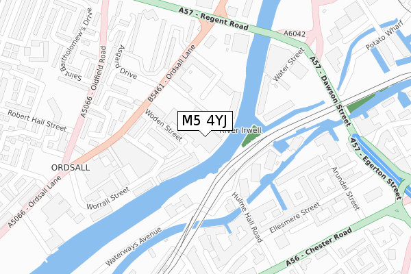
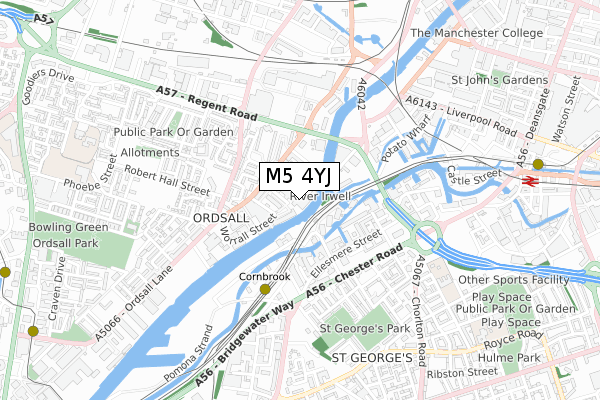
M5 4YJ is located in the Quays electoral ward, within the metropolitan district of Salford and the English Parliamentary constituency of Salford and Eccles. The Sub Integrated Care Board (ICB) Location is NHS Greater Manchester ICB - 01G and the police force is Greater Manchester. This postcode has been in use since April 2020.


GetTheData
Source: OS Open Zoomstack (Ordnance Survey)
Licence: Open Government Licence (requires attribution)
Attribution: Contains OS data © Crown copyright and database right 2025
Source: Open Postcode Geo
Licence: Open Government Licence (requires attribution)
Attribution: Contains OS data © Crown copyright and database right 2025; Contains Royal Mail data © Royal Mail copyright and database right 2025; Source: Office for National Statistics licensed under the Open Government Licence v.3.0
| Easting | 382479 |
| Northing | 397436 |
| Latitude | 53.473377 |
| Longitude | -2.265433 |
GetTheData
Source: Open Postcode Geo
Licence: Open Government Licence
| Country | England |
| Postcode District | M5 |
➜ See where M5 is on a map ➜ Where is Salford? | |
GetTheData
Source: Land Registry Price Paid Data
Licence: Open Government Licence
| Ward | Quays |
| Constituency | Salford And Eccles |
GetTheData
Source: ONS Postcode Database
Licence: Open Government Licence
| Ordsall Ln/Bricklayers Arms (Ordsall Ln) | Ordsall | 182m |
| Ordsall Ln/Regent Rd (Ordsall Ln) | Ordsall | 233m |
| Regent Rd/Water St (Regent Rd) | Castlefield | 292m |
| Oldfield Rd/Robert Hall St (Oldfield Rd) | Ordsall | 293m |
| Regent Rd/Ordsall Ln (Regent Rd) | Ordsall | 303m |
| Cornbrook (Manchester Metrolink) | Cornbrook | 407m |
| Deansgate-castlefield (Manchester Metrolink) (Whitworth Street West) | Manchester City Centre | 950m |
| Pomona (Manchester Metrolink) (Pomona Strand) | Salford Quays | 1,253m |
| Salford Quays (Manchester Metrolink) (St Peters Quay) | Salford Quays | 1,280m |
| Exchange Quay (Manchester Metrolink) (Exchange Quay) | Salford Quays | 1,325m |
| Deansgate Station | 1km |
| Salford Central Station | 1.3km |
| Manchester Oxford Road Station | 1.6km |
GetTheData
Source: NaPTAN
Licence: Open Government Licence
GetTheData
Source: ONS Postcode Database
Licence: Open Government Licence


➜ Get more ratings from the Food Standards Agency
GetTheData
Source: Food Standards Agency
Licence: FSA terms & conditions
| Last Collection | |||
|---|---|---|---|
| Location | Mon-Fri | Sat | Distance |
| Chester Road/Hulme Hall Road | 17:30 | 12:00 | 346m |
| Slate Wharf Castlefield | 17:30 | 12:00 | 509m |
| Angela Street | 17:30 | 12:00 | 538m |
GetTheData
Source: Dracos
Licence: Creative Commons Attribution-ShareAlike
The below table lists the International Territorial Level (ITL) codes (formerly Nomenclature of Territorial Units for Statistics (NUTS) codes) and Local Administrative Units (LAU) codes for M5 4YJ:
| ITL 1 Code | Name |
|---|---|
| TLD | North West (England) |
| ITL 2 Code | Name |
| TLD3 | Greater Manchester |
| ITL 3 Code | Name |
| TLD34 | Greater Manchester South West |
| LAU 1 Code | Name |
| E08000006 | Salford |
GetTheData
Source: ONS Postcode Directory
Licence: Open Government Licence
The below table lists the Census Output Area (OA), Lower Layer Super Output Area (LSOA), and Middle Layer Super Output Area (MSOA) for M5 4YJ:
| Code | Name | |
|---|---|---|
| OA | E00028700 | |
| LSOA | E01032917 | Salford 028J |
| MSOA | E02001184 | Salford 028 |
GetTheData
Source: ONS Postcode Directory
Licence: Open Government Licence
| M5 4JH | South Hall Street | 51m |
| M5 4UU | Woden Street | 100m |
| M5 4UE | Woden Street | 106m |
| M5 4SU | Lowry Wharf | 107m |
| M5 4SY | Lowry Wharf | 107m |
| M5 4TA | Lowry Wharf | 126m |
| M15 4GS | Kelso Place | 150m |
| M15 4GT | Kelso Place | 154m |
| M3 4JE | Water Street | 155m |
| M5 4SR | Derwent Street | 161m |
GetTheData
Source: Open Postcode Geo; Land Registry Price Paid Data
Licence: Open Government Licence