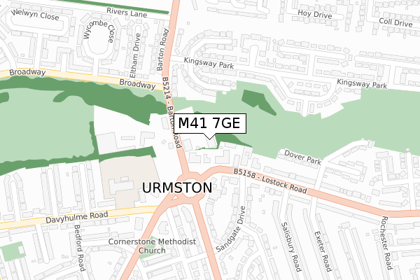
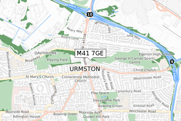
M41 7GE is located in the Lostock & Barton electoral ward, within the metropolitan district of Trafford and the English Parliamentary constituency of Stretford and Urmston. The Sub Integrated Care Board (ICB) Location is NHS Greater Manchester ICB - 02A and the police force is Greater Manchester. This postcode has been in use since February 2019.


GetTheData
Source: OS Open Zoomstack (Ordnance Survey)
Licence: Open Government Licence (requires attribution)
Attribution: Contains OS data © Crown copyright and database right 2025
Source: Open Postcode Geo
Licence: Open Government Licence (requires attribution)
Attribution: Contains OS data © Crown copyright and database right 2025; Contains Royal Mail data © Royal Mail copyright and database right 2025; Source: Office for National Statistics licensed under the Open Government Licence v.3.0
| Easting | 376420 |
| Northing | 395825 |
| Latitude | 53.458658 |
| Longitude | -2.356593 |
GetTheData
Source: Open Postcode Geo
Licence: Open Government Licence
| Country | England |
| Postcode District | M41 |
➜ See where M41 is on a map ➜ Where is Urmston? | |
GetTheData
Source: Land Registry Price Paid Data
Licence: Open Government Licence
| Ward | Lostock & Barton |
| Constituency | Stretford And Urmston |
GetTheData
Source: ONS Postcode Database
Licence: Open Government Licence
| Davyhulme Circle/Hayeswater Rd (Davyhulme Circl) | Davyhulme | 156m |
| Davyhulme Circle/Hayeswater Rd (Davyhulme Road) | Davyhulme | 181m |
| Broadway/Barton Road (Broadway) | Croft's Bank | 189m |
| Crofts Bank Rd/Davyhulme Circle (Crofts Bank Rd) | Davyhulme | 193m |
| Broadway/Barton Road (Broadway) | Croft's Bank | 203m |
| Urmston Station | 1.2km |
| Chassen Road Station | 1.6km |
| Humphrey Park Station | 2.1km |
GetTheData
Source: NaPTAN
Licence: Open Government Licence
| Percentage of properties with Next Generation Access | 100.0% |
| Percentage of properties with Superfast Broadband | 100.0% |
| Percentage of properties with Ultrafast Broadband | 100.0% |
| Percentage of properties with Full Fibre Broadband | 100.0% |
Superfast Broadband is between 30Mbps and 300Mbps
Ultrafast Broadband is > 300Mbps
| Percentage of properties unable to receive 2Mbps | 0.0% |
| Percentage of properties unable to receive 5Mbps | 0.0% |
| Percentage of properties unable to receive 10Mbps | 0.0% |
| Percentage of properties unable to receive 30Mbps | 0.0% |
GetTheData
Source: Ofcom
Licence: Ofcom Terms of Use (requires attribution)
GetTheData
Source: ONS Postcode Database
Licence: Open Government Licence


➜ Get more ratings from the Food Standards Agency
GetTheData
Source: Food Standards Agency
Licence: FSA terms & conditions
| Last Collection | |||
|---|---|---|---|
| Location | Mon-Fri | Sat | Distance |
| Crofts Bank P.o. | 17:30 | 12:00 | 106m |
| Kingsway | 17:30 | 11:30 | 196m |
| 104 Kingsway Park | 17:30 | 11:30 | 234m |
GetTheData
Source: Dracos
Licence: Creative Commons Attribution-ShareAlike
The below table lists the International Territorial Level (ITL) codes (formerly Nomenclature of Territorial Units for Statistics (NUTS) codes) and Local Administrative Units (LAU) codes for M41 7GE:
| ITL 1 Code | Name |
|---|---|
| TLD | North West (England) |
| ITL 2 Code | Name |
| TLD3 | Greater Manchester |
| ITL 3 Code | Name |
| TLD34 | Greater Manchester South West |
| LAU 1 Code | Name |
| E08000009 | Trafford |
GetTheData
Source: ONS Postcode Directory
Licence: Open Government Licence
The below table lists the Census Output Area (OA), Lower Layer Super Output Area (LSOA), and Middle Layer Super Output Area (MSOA) for M41 7GE:
| Code | Name | |
|---|---|---|
| OA | E00030990 | |
| LSOA | E01006118 | Trafford 002C |
| MSOA | E02001260 | Trafford 002 |
GetTheData
Source: ONS Postcode Directory
Licence: Open Government Licence
| M41 7NA | Bent Terrace | 81m |
| M41 0PS | Lostock Road | 109m |
| M41 0SS | Davyhulme Circle | 135m |
| M41 7EA | Dennington Drive | 140m |
| M41 0SU | Lostock Road | 153m |
| M41 7FB | Kingsway Park | 168m |
| M41 0ST | Davyhulme Circle | 177m |
| M41 0SR | Sandgate Drive | 194m |
| M41 7FA | Newbury Drive | 227m |
| M41 7EB | Kingsway Park | 228m |
GetTheData
Source: Open Postcode Geo; Land Registry Price Paid Data
Licence: Open Government Licence