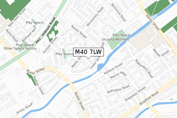
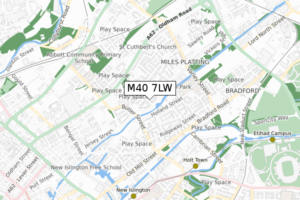
M40 7LW is located in the Miles Platting & Newton Heath electoral ward, within the metropolitan district of Manchester and the English Parliamentary constituency of Manchester Central. The Sub Integrated Care Board (ICB) Location is NHS Greater Manchester ICB - 14L and the police force is Greater Manchester. This postcode has been in use since January 2018.


GetTheData
Source: OS Open Zoomstack (Ordnance Survey)
Licence: Open Government Licence (requires attribution)
Attribution: Contains OS data © Crown copyright and database right 2025
Source: Open Postcode Geo
Licence: Open Government Licence (requires attribution)
Attribution: Contains OS data © Crown copyright and database right 2025; Contains Royal Mail data © Royal Mail copyright and database right 2025; Source: Office for National Statistics licensed under the Open Government Licence v.3.0
| Easting | 385651 |
| Northing | 399082 |
| Latitude | 53.488268 |
| Longitude | -2.217719 |
GetTheData
Source: Open Postcode Geo
Licence: Open Government Licence
| Country | England |
| Postcode District | M40 |
➜ See where M40 is on a map ➜ Where is Manchester? | |
GetTheData
Source: Land Registry Price Paid Data
Licence: Open Government Licence
| Ward | Miles Platting & Newton Heath |
| Constituency | Manchester Central |
GetTheData
Source: ONS Postcode Database
Licence: Open Government Licence
| Mellor Street (Mellor St) | Miles Platting | 79m |
| Butler St/Garforth Ave (Butler St) | Miles Platting | 189m |
| Butler St/Holland St (Butler St) | Miles Platting | 223m |
| Oldham Rd/Naylor St (Oldham Rd) | Miles Platting | 281m |
| Berkshire Road (Berkshire Rd) | Miles Platting | 310m |
| Holt Town (Manchester Metrolink) (Holt Town) | Holt Town | 671m |
| New Islington (Manchester Metrolink) (Pollard Street) | New Islington | 811m |
| Etihad Campus (Manchester Metrolink) (Joe Mercer Way) | Sportcity | 1,134m |
| Shudehill (Manchester Metrolink) (Shudehill) | Manchester City Centre | 1,444m |
| Monsall (Manchester Metrolink) (Ruislip Avenue) | Monsall | 1,500m |
| Manchester Piccadilly Station | 1.5km |
| Manchester Victoria Station | 1.7km |
| Ardwick Station | 1.9km |
GetTheData
Source: NaPTAN
Licence: Open Government Licence
| Percentage of properties with Next Generation Access | 100.0% |
| Percentage of properties with Superfast Broadband | 100.0% |
| Percentage of properties with Ultrafast Broadband | 100.0% |
| Percentage of properties with Full Fibre Broadband | 100.0% |
Superfast Broadband is between 30Mbps and 300Mbps
Ultrafast Broadband is > 300Mbps
| Median download speed | 100.0Mbps |
| Average download speed | 136.4Mbps |
| Maximum download speed | 350.00Mbps |
Ofcom does not currently provide upload speed data for M40 7LW. This is because there are less than four broadband connections in this postcode.
| Percentage of properties unable to receive 2Mbps | 0.0% |
| Percentage of properties unable to receive 5Mbps | 0.0% |
| Percentage of properties unable to receive 10Mbps | 0.0% |
| Percentage of properties unable to receive 30Mbps | 0.0% |
GetTheData
Source: Ofcom
Licence: Ofcom Terms of Use (requires attribution)
GetTheData
Source: ONS Postcode Database
Licence: Open Government Licence


➜ Get more ratings from the Food Standards Agency
GetTheData
Source: Food Standards Agency
Licence: FSA terms & conditions
| Last Collection | |||
|---|---|---|---|
| Location | Mon-Fri | Sat | Distance |
| Piercy Street | 17:30 | 12:00 | 558m |
| Royal Mail 77 Oldham Road | 19:30 | 17:00 | 589m |
| Manchester Apc | 19:30 | 591m | |
GetTheData
Source: Dracos
Licence: Creative Commons Attribution-ShareAlike
The below table lists the International Territorial Level (ITL) codes (formerly Nomenclature of Territorial Units for Statistics (NUTS) codes) and Local Administrative Units (LAU) codes for M40 7LW:
| ITL 1 Code | Name |
|---|---|
| TLD | North West (England) |
| ITL 2 Code | Name |
| TLD3 | Greater Manchester |
| ITL 3 Code | Name |
| TLD33 | Manchester |
| LAU 1 Code | Name |
| E08000003 | Manchester |
GetTheData
Source: ONS Postcode Directory
Licence: Open Government Licence
The below table lists the Census Output Area (OA), Lower Layer Super Output Area (LSOA), and Middle Layer Super Output Area (MSOA) for M40 7LW:
| Code | Name | |
|---|---|---|
| OA | E00025969 | |
| LSOA | E01005132 | Manchester 013C |
| MSOA | E02001057 | Manchester 013 |
GetTheData
Source: ONS Postcode Directory
Licence: Open Government Licence
| M40 7JL | Oldbury Close | 102m |
| M40 7WE | Naylor Street | 130m |
| M40 7HQ | Croom Walk | 137m |
| M40 7WD | Tideswell Avenue | 149m |
| M40 7HL | Holland Street | 155m |
| M40 7HW | Marcer Road | 182m |
| M40 7JJ | Burnell Close | 197m |
| M40 7HE | Bollington Road | 205m |
| M40 7HH | Rolleston Avenue | 222m |
| M40 7HS | Medway Walk | 231m |
GetTheData
Source: Open Postcode Geo; Land Registry Price Paid Data
Licence: Open Government Licence