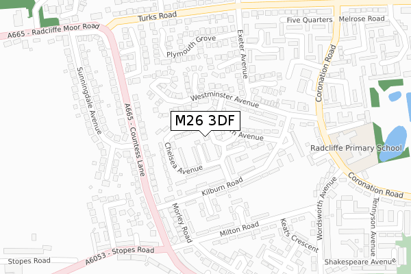
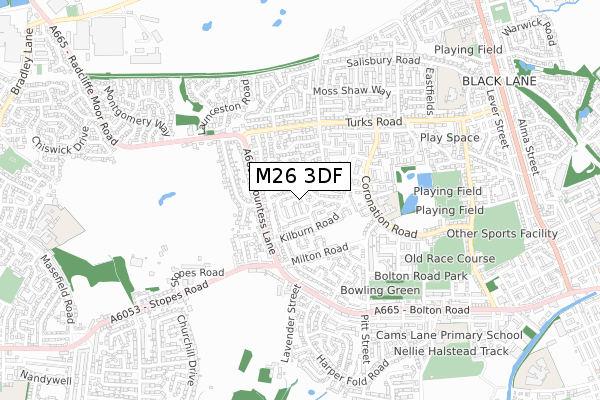
M26 3DF is located in the Radcliffe North & Ainsworth electoral ward, within the metropolitan district of Bury and the English Parliamentary constituency of Bury South. The Sub Integrated Care Board (ICB) Location is NHS Greater Manchester ICB - 00V and the police force is Greater Manchester. This postcode has been in use since October 2018.


GetTheData
Source: OS Open Zoomstack (Ordnance Survey)
Licence: Open Government Licence (requires attribution)
Attribution: Contains OS data © Crown copyright and database right 2025
Source: Open Postcode Geo
Licence: Open Government Licence (requires attribution)
Attribution: Contains OS data © Crown copyright and database right 2025; Contains Royal Mail data © Royal Mail copyright and database right 2025; Source: Office for National Statistics licensed under the Open Government Licence v.3.0
| Easting | 376926 |
| Northing | 407860 |
| Latitude | 53.566853 |
| Longitude | -2.349862 |
GetTheData
Source: Open Postcode Geo
Licence: Open Government Licence
| Country | England |
| Postcode District | M26 |
➜ See where M26 is on a map ➜ Where is Radcliffe? | |
GetTheData
Source: Land Registry Price Paid Data
Licence: Open Government Licence
| Ward | Radcliffe North & Ainsworth |
| Constituency | Bury South |
GetTheData
Source: ONS Postcode Database
Licence: Open Government Licence
| Kilburn Rd/Morley Rd (Kilburn Rd) | Bolton Road Estate | 165m |
| Kilburn Rd/Westminster Ave (Kilburn Road) | Bolton Road Estate | 201m |
| Milton Rd/Morley Rd (Milton Rd) | Bolton Road Estate | 243m |
| Milton Rd/Morley Rd (Milton Rd) | Bolton Road Estate | 251m |
| Westminster Ave | Bolton Road Estate | 265m |
| Kearsley Station | 3km |
| Farnworth Station | 3.1km |
| Moses Gate Station | 3.6km |
GetTheData
Source: NaPTAN
Licence: Open Government Licence
| Percentage of properties with Next Generation Access | 100.0% |
| Percentage of properties with Superfast Broadband | 100.0% |
| Percentage of properties with Ultrafast Broadband | 100.0% |
| Percentage of properties with Full Fibre Broadband | 0.0% |
Superfast Broadband is between 30Mbps and 300Mbps
Ultrafast Broadband is > 300Mbps
| Percentage of properties unable to receive 2Mbps | 0.0% |
| Percentage of properties unable to receive 5Mbps | 0.0% |
| Percentage of properties unable to receive 10Mbps | 0.0% |
| Percentage of properties unable to receive 30Mbps | 0.0% |
GetTheData
Source: Ofcom
Licence: Ofcom Terms of Use (requires attribution)
GetTheData
Source: ONS Postcode Database
Licence: Open Government Licence


➜ Get more ratings from the Food Standards Agency
GetTheData
Source: Food Standards Agency
Licence: FSA terms & conditions
| Last Collection | |||
|---|---|---|---|
| Location | Mon-Fri | Sat | Distance |
| 16 Montgomery Way | 17:30 | 12:00 | 737m |
| Black Lane P.o. | 17:30 | 12:00 | 1,076m |
| Asda | 17:30 | 12:00 | 1,786m |
GetTheData
Source: Dracos
Licence: Creative Commons Attribution-ShareAlike
The below table lists the International Territorial Level (ITL) codes (formerly Nomenclature of Territorial Units for Statistics (NUTS) codes) and Local Administrative Units (LAU) codes for M26 3DF:
| ITL 1 Code | Name |
|---|---|
| TLD | North West (England) |
| ITL 2 Code | Name |
| TLD3 | Greater Manchester |
| ITL 3 Code | Name |
| TLD37 | Greater Manchester North East |
| LAU 1 Code | Name |
| E08000002 | Bury |
GetTheData
Source: ONS Postcode Directory
Licence: Open Government Licence
The below table lists the Census Output Area (OA), Lower Layer Super Output Area (LSOA), and Middle Layer Super Output Area (MSOA) for M26 3DF:
| Code | Name | |
|---|---|---|
| OA | E00025334 | |
| LSOA | E01005004 | Bury 016C |
| MSOA | E02001034 | Bury 016 |
GetTheData
Source: ONS Postcode Directory
Licence: Open Government Licence
| M26 3NF | Chelsea Avenue | 54m |
| M26 3ND | Mayfair Avenue | 58m |
| M26 3WE | Kensington Avenue | 63m |
| M26 3WB | Holborn Avenue | 98m |
| M26 3NE | Chelsea Avenue | 109m |
| M26 3QL | Westminster Avenue | 117m |
| M26 3NA | Kilburn Road | 134m |
| M26 3NB | Kilburn Road | 135m |
| M26 3QF | Honiton Grove | 146m |
| M26 3WD | Westminster Avenue | 160m |
GetTheData
Source: Open Postcode Geo; Land Registry Price Paid Data
Licence: Open Government Licence