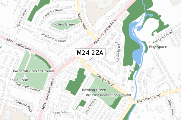
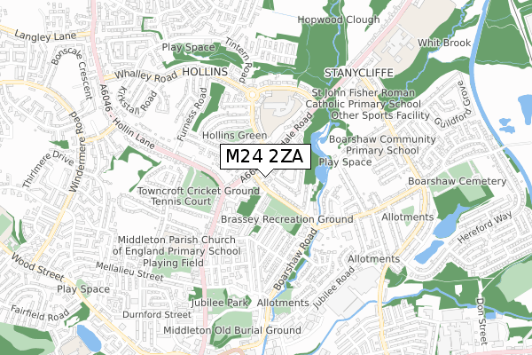
M24 2ZA is located in the North Middleton electoral ward, within the metropolitan district of Rochdale and the English Parliamentary constituency of Heywood and Middleton. The Sub Integrated Care Board (ICB) Location is NHS Greater Manchester ICB - 01D and the police force is Greater Manchester. This postcode has been in use since April 2020.


GetTheData
Source: OS Open Zoomstack (Ordnance Survey)
Licence: Open Government Licence (requires attribution)
Attribution: Contains OS data © Crown copyright and database right 2025
Source: Open Postcode Geo
Licence: Open Government Licence (requires attribution)
Attribution: Contains OS data © Crown copyright and database right 2025; Contains Royal Mail data © Royal Mail copyright and database right 2025; Source: Office for National Statistics licensed under the Open Government Licence v.3.0
| Easting | 387353 |
| Northing | 406888 |
| Latitude | 53.558474 |
| Longitude | -2.192387 |
GetTheData
Source: Open Postcode Geo
Licence: Open Government Licence
| Country | England |
| Postcode District | M24 |
➜ See where M24 is on a map ➜ Where is Middleton? | |
GetTheData
Source: Land Registry Price Paid Data
Licence: Open Government Licence
| Ward | North Middleton |
| Constituency | Heywood And Middleton |
GetTheData
Source: ONS Postcode Database
Licence: Open Government Licence
| Rochdale Rd/Black Bull Inn (Rochdale Rd) | Hollins | 88m |
| Nowell Rd/Rochdale Rd (Nowell Rd) | Hollins | 138m |
| Rochdale Rd/Hollin Ln (Rochdale Rd) | Hollins | 142m |
| Rochdale Rd/Nowell Rd (Rochdale Rd) | Hollins | 176m |
| Hollin Ln/Rochdale Rd (Hollin Ln) | Hollins | 226m |
| Mills Hill (Manchester) Station | 1.6km |
| Castleton (Manchester) Station | 3.8km |
| Moston Station | 4.1km |
GetTheData
Source: NaPTAN
Licence: Open Government Licence
GetTheData
Source: ONS Postcode Database
Licence: Open Government Licence

➜ Get more ratings from the Food Standards Agency
GetTheData
Source: Food Standards Agency
Licence: FSA terms & conditions
| Last Collection | |||
|---|---|---|---|
| Location | Mon-Fri | Sat | Distance |
| 5 Nowell Road | 17:30 | 12:00 | 167m |
| Rochdale Road P.o. | 17:30 | 12:00 | 193m |
| Hardfield Road | 17:30 | 12:00 | 360m |
GetTheData
Source: Dracos
Licence: Creative Commons Attribution-ShareAlike
The below table lists the International Territorial Level (ITL) codes (formerly Nomenclature of Territorial Units for Statistics (NUTS) codes) and Local Administrative Units (LAU) codes for M24 2ZA:
| ITL 1 Code | Name |
|---|---|
| TLD | North West (England) |
| ITL 2 Code | Name |
| TLD3 | Greater Manchester |
| ITL 3 Code | Name |
| TLD37 | Greater Manchester North East |
| LAU 1 Code | Name |
| E08000005 | Rochdale |
GetTheData
Source: ONS Postcode Directory
Licence: Open Government Licence
The below table lists the Census Output Area (OA), Lower Layer Super Output Area (LSOA), and Middle Layer Super Output Area (MSOA) for M24 2ZA:
| Code | Name | |
|---|---|---|
| OA | E00028033 | |
| LSOA | E01005536 | Rochdale 021E |
| MSOA | E02001152 | Rochdale 021 |
GetTheData
Source: ONS Postcode Directory
Licence: Open Government Licence
| M24 2QE | Clough Road | 54m |
| M24 2QF | Smithies Avenue | 66m |
| M24 2QA | Rochdale Road | 70m |
| M24 2PS | Rochdale Road | 94m |
| M24 2PR | Rochdale Road | 110m |
| M24 2NQ | Clough Road | 113m |
| M24 6FJ | Nowell Road | 117m |
| M24 6BH | Samuel Street | 120m |
| M24 2QD | Radclyffe Street | 128m |
| M24 2GF | Lulworth Road | 137m |
GetTheData
Source: Open Postcode Geo; Land Registry Price Paid Data
Licence: Open Government Licence