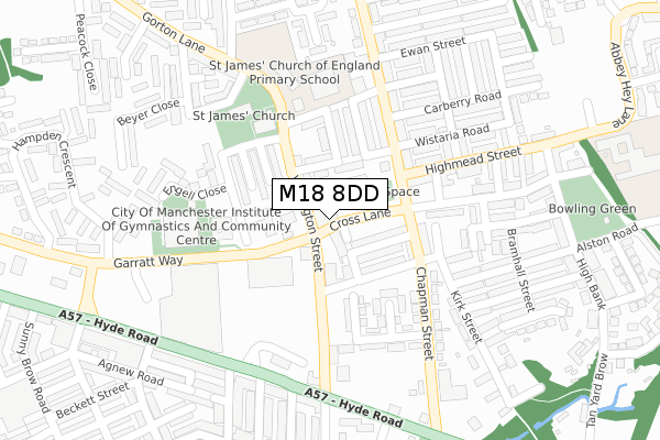
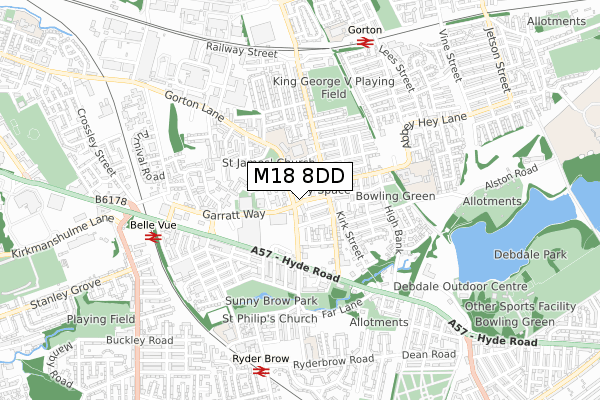
M18 8DD is located in the Gorton & Abbey Hey electoral ward, within the metropolitan district of Manchester and the English Parliamentary constituency of Manchester, Gorton. The Sub Integrated Care Board (ICB) Location is NHS Greater Manchester ICB - 14L and the police force is Greater Manchester. This postcode has been in use since February 2018.


GetTheData
Source: OS Open Zoomstack (Ordnance Survey)
Licence: Open Government Licence (requires attribution)
Attribution: Contains OS data © Crown copyright and database right 2025
Source: Open Postcode Geo
Licence: Open Government Licence (requires attribution)
Attribution: Contains OS data © Crown copyright and database right 2025; Contains Royal Mail data © Royal Mail copyright and database right 2025; Source: Office for National Statistics licensed under the Open Government Licence v.3.0
| Easting | 388749 |
| Northing | 396277 |
| Latitude | 53.463131 |
| Longitude | -2.170929 |
GetTheData
Source: Open Postcode Geo
Licence: Open Government Licence
| Country | England |
| Postcode District | M18 |
➜ See where M18 is on a map ➜ Where is Manchester? | |
GetTheData
Source: Land Registry Price Paid Data
Licence: Open Government Licence
| Ward | Gorton & Abbey Hey |
| Constituency | Manchester, Gorton |
GetTheData
Source: ONS Postcode Database
Licence: Open Government Licence
| Wellington St/Gorton P.o. (Wellington St) | Gorton | 37m |
| Cross Ln/Gorton Labour Club (Cross Ln) | Gorton | 49m |
| Wellington St/Gorton P.o. (Wellington St) | Gorton | 50m |
| Cross Ln/Gorton Labour Club (Cross Ln) | Gorton | 63m |
| Chapman St/Carberry Rd (Chapman St) | Gorton | 163m |
| Belle Vue Station | 0.6km |
| Gorton Station | 0.7km |
| Ryder Brow Station | 0.7km |
GetTheData
Source: NaPTAN
Licence: Open Government Licence
| Percentage of properties with Next Generation Access | 100.0% |
| Percentage of properties with Superfast Broadband | 100.0% |
| Percentage of properties with Ultrafast Broadband | 0.0% |
| Percentage of properties with Full Fibre Broadband | 0.0% |
Superfast Broadband is between 30Mbps and 300Mbps
Ultrafast Broadband is > 300Mbps
| Percentage of properties unable to receive 2Mbps | 0.0% |
| Percentage of properties unable to receive 5Mbps | 0.0% |
| Percentage of properties unable to receive 10Mbps | 0.0% |
| Percentage of properties unable to receive 30Mbps | 0.0% |
GetTheData
Source: Ofcom
Licence: Ofcom Terms of Use (requires attribution)
GetTheData
Source: ONS Postcode Database
Licence: Open Government Licence


➜ Get more ratings from the Food Standards Agency
GetTheData
Source: Food Standards Agency
Licence: FSA terms & conditions
| Last Collection | |||
|---|---|---|---|
| Location | Mon-Fri | Sat | Distance |
| Gorton P.o. | 17:30 | 12:00 | 75m |
| Hengist St | 17:30 | 12:00 | 309m |
| Parkdale Avenue | 17:30 | 12:00 | 338m |
GetTheData
Source: Dracos
Licence: Creative Commons Attribution-ShareAlike
The below table lists the International Territorial Level (ITL) codes (formerly Nomenclature of Territorial Units for Statistics (NUTS) codes) and Local Administrative Units (LAU) codes for M18 8DD:
| ITL 1 Code | Name |
|---|---|
| TLD | North West (England) |
| ITL 2 Code | Name |
| TLD3 | Greater Manchester |
| ITL 3 Code | Name |
| TLD33 | Manchester |
| LAU 1 Code | Name |
| E08000003 | Manchester |
GetTheData
Source: ONS Postcode Directory
Licence: Open Government Licence
The below table lists the Census Output Area (OA), Lower Layer Super Output Area (LSOA), and Middle Layer Super Output Area (MSOA) for M18 8DD:
| Code | Name | |
|---|---|---|
| OA | E00026289 | |
| LSOA | E01005189 | Manchester 017D |
| MSOA | E02001061 | Manchester 017 |
GetTheData
Source: ONS Postcode Directory
Licence: Open Government Licence
| M18 8WA | Cross Lane | 23m |
| M18 8WX | Roxburgh Street | 51m |
| M18 8LS | Ashkirk Street | 64m |
| M18 8LG | Turner Street | 73m |
| M18 8BE | Wellington Street | 97m |
| M18 8TZ | Jessop Street | 98m |
| M18 8TY | Sheerness Street | 99m |
| M18 8LQ | Acheson Street | 130m |
| M18 8LW | Stelling Street | 145m |
| M18 8UD | Brogan Street | 145m |
GetTheData
Source: Open Postcode Geo; Land Registry Price Paid Data
Licence: Open Government Licence