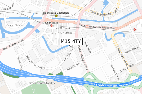
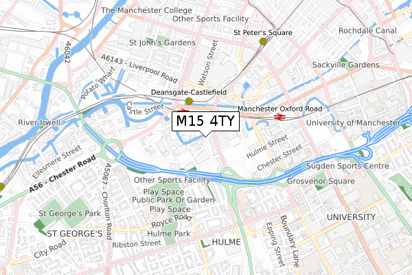
M15 4TY is located in the Deansgate electoral ward, within the metropolitan district of Manchester and the English Parliamentary constituency of Manchester Central. The Sub Integrated Care Board (ICB) Location is NHS Greater Manchester ICB - 14L and the police force is Greater Manchester. This postcode has been in use since June 2018.


GetTheData
Source: OS Open Zoomstack (Ordnance Survey)
Licence: Open Government Licence (requires attribution)
Attribution: Contains OS data © Crown copyright and database right 2025
Source: Open Postcode Geo
Licence: Open Government Licence (requires attribution)
Attribution: Contains OS data © Crown copyright and database right 2025; Contains Royal Mail data © Royal Mail copyright and database right 2025; Source: Office for National Statistics licensed under the Open Government Licence v.3.0
| Easting | 383577 |
| Northing | 397361 |
| Latitude | 53.472738 |
| Longitude | -2.248886 |
GetTheData
Source: Open Postcode Geo
Licence: Open Government Licence
| Country | England |
| Postcode District | M15 |
➜ See where M15 is on a map | |
GetTheData
Source: Land Registry Price Paid Data
Licence: Open Government Licence
| Ward | Deansgate |
| Constituency | Manchester Central |
GetTheData
Source: ONS Postcode Database
Licence: Open Government Licence
| Medlock St/Home (Medlock St) | Manchester City Centre | 65m |
| Medlock St/Home (Medlock St) | Manchester City Centre | 71m |
| Medlock St/City Rd East (Medlock Street) | Manchester City Centre | 102m |
| Medlock St/Mancunian Way (Medlock St) | Manchester City Centre | 162m |
| Whitworth St West/Hacienda (Whitworth St W) | Manchester City Centre | 168m |
| Deansgate-castlefield (Manchester Metrolink) (Whitworth Street West) | Manchester City Centre | 277m |
| St Peters Square (Manchester Metrolink) (Peter Street) | Manchester City Centre | 720m |
| Piccadilly Gardens (Manchester Metrolink) (Portland Street) | Piccadilly Gardens | 1,156m |
| Market Street (Manchester Metrolink) (Market Street) | Manchester City Centre | 1,212m |
| Piccadilly (Manchester Metrolink) (London Road) | Manchester City Centre | 1,254m |
| Deansgate Station | 0.2km |
| Manchester Oxford Road Station | 0.5km |
| Salford Central Station | 1.2km |
GetTheData
Source: NaPTAN
Licence: Open Government Licence
GetTheData
Source: ONS Postcode Database
Licence: Open Government Licence


➜ Get more ratings from the Food Standards Agency
GetTheData
Source: Food Standards Agency
Licence: FSA terms & conditions
| Last Collection | |||
|---|---|---|---|
| Location | Mon-Fri | Sat | Distance |
| City Road East | 17:30 | 12:00 | 31m |
| Knott Mill Station, Junction | 19:00 | 12:00 | 234m |
| Carnbrook Street | 17:30 | 11:45 | 349m |
GetTheData
Source: Dracos
Licence: Creative Commons Attribution-ShareAlike
The below table lists the International Territorial Level (ITL) codes (formerly Nomenclature of Territorial Units for Statistics (NUTS) codes) and Local Administrative Units (LAU) codes for M15 4TY:
| ITL 1 Code | Name |
|---|---|
| TLD | North West (England) |
| ITL 2 Code | Name |
| TLD3 | Greater Manchester |
| ITL 3 Code | Name |
| TLD33 | Manchester |
| LAU 1 Code | Name |
| E08000003 | Manchester |
GetTheData
Source: ONS Postcode Directory
Licence: Open Government Licence
The below table lists the Census Output Area (OA), Lower Layer Super Output Area (LSOA), and Middle Layer Super Output Area (MSOA) for M15 4TY:
| Code | Name | |
|---|---|---|
| OA | E00176004 | |
| LSOA | E01033656 | Manchester 057B |
| MSOA | E02006914 | Manchester 057 |
GetTheData
Source: ONS Postcode Directory
Licence: Open Government Licence
| M15 4TA | City Road East | 0m |
| M15 4TB | City Road East | 13m |
| M15 4TD | City Road East | 39m |
| M15 4TE | City Road East | 43m |
| M15 4TF | City Road East | 77m |
| M15 4TH | City Road East | 95m |
| M15 4QL | City Road East | 95m |
| M15 4QN | City Road East | 95m |
| M15 4RL | Commercial Street | 96m |
| M15 4QA | City Road East | 105m |
GetTheData
Source: Open Postcode Geo; Land Registry Price Paid Data
Licence: Open Government Licence