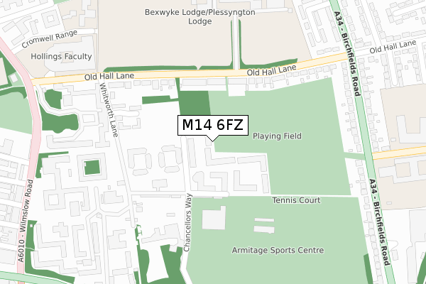
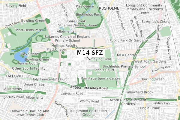
M14 6FZ is located in the Rusholme electoral ward, within the metropolitan district of Manchester and the English Parliamentary constituency of Manchester, Gorton. The Sub Integrated Care Board (ICB) Location is NHS Greater Manchester ICB - 14L and the police force is Greater Manchester. This postcode has been in use since September 2019.


GetTheData
Source: OS Open Zoomstack (Ordnance Survey)
Licence: Open Government Licence (requires attribution)
Attribution: Contains OS data © Crown copyright and database right 2025
Source: Open Postcode Geo
Licence: Open Government Licence (requires attribution)
Attribution: Contains OS data © Crown copyright and database right 2025; Contains Royal Mail data © Royal Mail copyright and database right 2025; Source: Office for National Statistics licensed under the Open Government Licence v.3.0
| Easting | 386028 |
| Northing | 394212 |
| Latitude | 53.444505 |
| Longitude | -2.211820 |
GetTheData
Source: Open Postcode Geo
Licence: Open Government Licence
| Country | England |
| Postcode District | M14 |
➜ See where M14 is on a map ➜ Where is Manchester? | |
GetTheData
Source: Land Registry Price Paid Data
Licence: Open Government Licence
| Ward | Rusholme |
| Constituency | Manchester, Gorton |
GetTheData
Source: ONS Postcode Database
Licence: Open Government Licence
| Moseley Rd/Ladybarn Ln (Moseley Rd) | Owens Park | 285m |
| Campus Internal Road (Whitworth Ln) | Owens Park | 288m |
| Old Hall Ln/Manchester Grammar Sch (Old Hall Ln) | Birchfields | 294m |
| Moseley Rd/Lindleywood Rd (Moseley Rd) | Birchfields | 297m |
| Moseley Rd/Ladybarn Ln (Moseley Rd) | Owens Park | 336m |
| Levenshulme Station | 1.3km |
| Mauldeth Road Station | 1.3km |
| Burnage Station | 2.6km |
GetTheData
Source: NaPTAN
Licence: Open Government Licence
GetTheData
Source: ONS Postcode Database
Licence: Open Government Licence


➜ Get more ratings from the Food Standards Agency
GetTheData
Source: Food Standards Agency
Licence: FSA terms & conditions
| Last Collection | |||
|---|---|---|---|
| Location | Mon-Fri | Sat | Distance |
| 17 Balmoral Road | 17:30 | 12:00 | 305m |
| Owens Park | 17:30 | 12:00 | 404m |
| Oak Drive | 17:30 | 12:00 | 457m |
GetTheData
Source: Dracos
Licence: Creative Commons Attribution-ShareAlike
The below table lists the International Territorial Level (ITL) codes (formerly Nomenclature of Territorial Units for Statistics (NUTS) codes) and Local Administrative Units (LAU) codes for M14 6FZ:
| ITL 1 Code | Name |
|---|---|
| TLD | North West (England) |
| ITL 2 Code | Name |
| TLD3 | Greater Manchester |
| ITL 3 Code | Name |
| TLD33 | Manchester |
| LAU 1 Code | Name |
| E08000003 | Manchester |
GetTheData
Source: ONS Postcode Directory
Licence: Open Government Licence
The below table lists the Census Output Area (OA), Lower Layer Super Output Area (LSOA), and Middle Layer Super Output Area (MSOA) for M14 6FZ:
| Code | Name | |
|---|---|---|
| OA | E00026758 | |
| LSOA | E01005283 | Manchester 032E |
| MSOA | E02001076 | Manchester 032 |
GetTheData
Source: ONS Postcode Directory
Licence: Open Government Licence
| M14 6HJ | Old Hall Lane | 269m |
| M14 6JB | Redshaw Close | 273m |
| M14 6HL | Old Hall Lane | 309m |
| M14 6PA | Moseley Road | 313m |
| M14 6HF | Whitworth Lane | 315m |
| M14 6PR | Braemar Road | 325m |
| M14 6WG | Balmoral Road | 345m |
| M14 6PS | Braemar Road | 356m |
| M14 6PF | Birchfields Road | 356m |
| M14 6PT | Brailsford Road | 368m |
GetTheData
Source: Open Postcode Geo; Land Registry Price Paid Data
Licence: Open Government Licence