M14 6FQ maps, stats, and open data
- Home
- Postcode
- M
- M14
- M14 6
M14 6FQ is located in the Rusholme electoral ward, within the metropolitan district of Manchester and the English Parliamentary constituency of Manchester, Gorton. The Sub Integrated Care Board (ICB) Location is NHS Greater Manchester ICB - 14L and the police force is Greater Manchester. This postcode has been in use since September 2019.
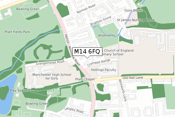
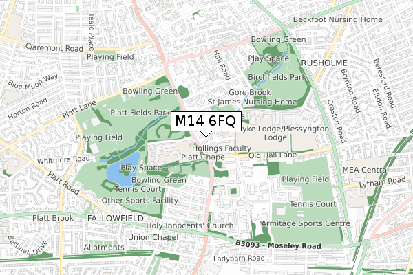
M14 6FQ maps


Source: OS Open Zoomstack (Ordnance Survey)
Licence: Open Government Licence (requires attribution)
Attribution: Contains OS data © Crown copyright and database right 2025
Source: Open Postcode GeoLicence: Open Government Licence (requires attribution)
Attribution: Contains OS data © Crown copyright and database right 2025; Contains Royal Mail data © Royal Mail copyright and database right 2025; Source: Office for National Statistics licensed under the Open Government Licence v.3.0
M14 6FQ geodata
| Easting | 385587 |
| Northing | 394586 |
| Latitude | 53.447854 |
| Longitude | -2.218477 |
Where is M14 6FQ?
| Country | England |
| Postcode District | M14 |
Politics
| Ward | Rusholme |
|---|
| Constituency | Manchester, Gorton |
|---|
Transport
Nearest bus stops to M14 6FQ
| Wilmslow Rd/Cromwell Range (Wilmslow Rd) | Owens Park | 54m |
| Wilmslow Rd/Old Hall Ln (Wilmslow Rd) | Owens Park | 69m |
| Wilmslow Rd/Cromwell Range (Wilmslow Rd) | Owens Park | 71m |
| Wilmslow Rd/Grangethorpe Rd (Wilmslow Rd) | Owens Park | 102m |
| Wilmslow Rd/Grangethorpe Rd (Wilmslow Rd) | Owens Park | 125m |
Nearest railway stations to M14 6FQ
| Mauldeth Road Station | 1.8km |
| Levenshulme Station | 1.8km |
| Ardwick Station | 2.6km |
Broadband
Broadband access in M14 6FQ (2020 data)
| Percentage of properties with Next Generation Access | 100.0% |
| Percentage of properties with Superfast Broadband | 100.0% |
| Percentage of properties with Ultrafast Broadband | 0.0% |
| Percentage of properties with Full Fibre Broadband | 0.0% |
Superfast Broadband is between 30Mbps and 300Mbps
Ultrafast Broadband is > 300Mbps
Broadband limitations in M14 6FQ (2020 data)
| Percentage of properties unable to receive 2Mbps | 0.0% |
| Percentage of properties unable to receive 5Mbps | 0.0% |
| Percentage of properties unable to receive 10Mbps | 0.0% |
| Percentage of properties unable to receive 30Mbps | 0.0% |
Deprivation
62.9% of English postcodes are less deprived than
M14 6FQ:
Food Standards Agency
Three nearest food hygiene ratings to M14 6FQ (metres)
Bisous Bisous
St James CE Primary School
St James Ce Primary School
106m
Platt Chapel also T/as The Grateful Church
➜ Get more ratings from the Food Standards Agency
Nearest post box to M14 6FQ
| | Last Collection | |
|---|
| Location | Mon-Fri | Sat | Distance |
|---|
| Grange Thorpe | 17:30 | 12:00 | 87m |
| Owens Park | 17:30 | 12:00 | 423m |
| Oak Drive | 17:30 | 12:00 | 427m |
M14 6FQ ITL and M14 6FQ LAU
The below table lists the International Territorial Level (ITL) codes (formerly Nomenclature of Territorial Units for Statistics (NUTS) codes) and Local Administrative Units (LAU) codes for M14 6FQ:
| ITL 1 Code | Name |
|---|
| TLD | North West (England) |
| ITL 2 Code | Name |
|---|
| TLD3 | Greater Manchester |
| ITL 3 Code | Name |
|---|
| TLD33 | Manchester |
| LAU 1 Code | Name |
|---|
| E08000003 | Manchester |
M14 6FQ census areas
The below table lists the Census Output Area (OA), Lower Layer Super Output Area (LSOA), and Middle Layer Super Output Area (MSOA) for M14 6FQ:
| Code | Name |
|---|
| OA | E00026752 | |
|---|
| LSOA | E01005281 | Manchester 026B |
|---|
| MSOA | E02001070 | Manchester 026 |
|---|
Nearest postcodes to M14 6FQ


