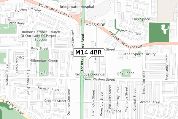
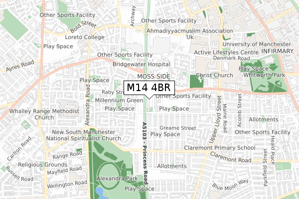
M14 4BR is located in the Moss Side electoral ward, within the metropolitan district of Manchester and the English Parliamentary constituency of Manchester Central. The Sub Integrated Care Board (ICB) Location is NHS Greater Manchester ICB - 14L and the police force is Greater Manchester. This postcode has been in use since April 2020.


GetTheData
Source: OS Open Zoomstack (Ordnance Survey)
Licence: Open Government Licence (requires attribution)
Attribution: Contains OS data © Crown copyright and database right 2024
Source: Open Postcode Geo
Licence: Open Government Licence (requires attribution)
Attribution: Contains OS data © Crown copyright and database right 2024; Contains Royal Mail data © Royal Mail copyright and database right 2024; Source: Office for National Statistics licensed under the Open Government Licence v.3.0
| Easting | 383848 |
| Northing | 395640 |
| Latitude | 53.457278 |
| Longitude | -2.244715 |
GetTheData
Source: Open Postcode Geo
Licence: Open Government Licence
| Country | England |
| Postcode District | M14 |
➜ See where M14 is on a map ➜ Where is Manchester? | |
GetTheData
Source: Land Registry Price Paid Data
Licence: Open Government Licence
| Ward | Moss Side |
| Constituency | Manchester Central |
GetTheData
Source: ONS Postcode Database
Licence: Open Government Licence
| Princess Rd/Great Western St (Princess Rd) | Moss Side | 66m |
| Princess Rd/Moss Ln East (Princess Rd) | Moss Side | 95m |
| Princess Rd/Moss Ln East (Princess Rd) | Moss Side | 175m |
| Princess Rd/Great Western St (Princess Rd) | Moss Side | 200m |
| Moss Ln East/Westwood St (Moss Ln East) | Moss Side | 206m |
| Manchester Oxford Road Station | 1.9km |
| Deansgate Station | 1.9km |
| Manchester Piccadilly Station | 2.4km |
GetTheData
Source: NaPTAN
Licence: Open Government Licence
GetTheData
Source: ONS Postcode Database
Licence: Open Government Licence


➜ Get more ratings from the Food Standards Agency
GetTheData
Source: Food Standards Agency
Licence: FSA terms & conditions
| Last Collection | |||
|---|---|---|---|
| Location | Mon-Fri | Sat | Distance |
| 46 Broadfield Road | 17:30 | 12:00 | 376m |
| 340 Moss Lane East | 17:30 | 12:00 | 401m |
| Princess Road P.o. | 17:30 | 12:00 | 430m |
GetTheData
Source: Dracos
Licence: Creative Commons Attribution-ShareAlike
The below table lists the International Territorial Level (ITL) codes (formerly Nomenclature of Territorial Units for Statistics (NUTS) codes) and Local Administrative Units (LAU) codes for M14 4BR:
| ITL 1 Code | Name |
|---|---|
| TLD | North West (England) |
| ITL 2 Code | Name |
| TLD3 | Greater Manchester |
| ITL 3 Code | Name |
| TLD33 | Manchester |
| LAU 1 Code | Name |
| E08000003 | Manchester |
GetTheData
Source: ONS Postcode Directory
Licence: Open Government Licence
The below table lists the Census Output Area (OA), Lower Layer Super Output Area (LSOA), and Middle Layer Super Output Area (MSOA) for M14 4BR:
| Code | Name | |
|---|---|---|
| OA | E00026559 | |
| LSOA | E01005245 | Manchester 024C |
| MSOA | E02001068 | Manchester 024 |
GetTheData
Source: ONS Postcode Directory
Licence: Open Government Licence
| M14 4TE | Princess Road | 67m |
| M14 4SU | Raby Street | 84m |
| M14 4SY | Barnhill Street | 88m |
| M14 4TH | Princess Road | 93m |
| M16 7BY | Princess Road | 140m |
| M16 7JS | Isobel Close | 146m |
| M16 7DY | Quinney Crescent | 146m |
| M14 4RA | Great Western Street | 172m |
| M16 7LU | Crosshill Street | 173m |
| M14 4RW | Hartington Street | 183m |
GetTheData
Source: Open Postcode Geo; Land Registry Price Paid Data
Licence: Open Government Licence