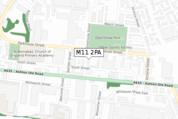
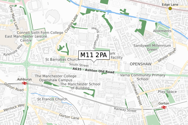
M11 2PA is located in the Clayton & Openshaw electoral ward, within the metropolitan district of Manchester and the English Parliamentary constituency of Manchester Central. The Sub Integrated Care Board (ICB) Location is NHS Greater Manchester ICB - 14L and the police force is Greater Manchester. This postcode has been in use since August 2019.


GetTheData
Source: OS Open Zoomstack (Ordnance Survey)
Licence: Open Government Licence (requires attribution)
Attribution: Contains OS data © Crown copyright and database right 2025
Source: Open Postcode Geo
Licence: Open Government Licence (requires attribution)
Attribution: Contains OS data © Crown copyright and database right 2025; Contains Royal Mail data © Royal Mail copyright and database right 2025; Source: Office for National Statistics licensed under the Open Government Licence v.3.0
| Easting | 388091 |
| Northing | 397532 |
| Latitude | 53.474397 |
| Longitude | -2.180888 |
GetTheData
Source: Open Postcode Geo
Licence: Open Government Licence
| Country | England |
| Postcode District | M11 |
➜ See where M11 is on a map ➜ Where is Manchester? | |
GetTheData
Source: Land Registry Price Paid Data
Licence: Open Government Licence
| Ward | Clayton & Openshaw |
| Constituency | Manchester Central |
GetTheData
Source: ONS Postcode Database
Licence: Open Government Licence
| Greenside St/Parkhouse St (Greenside St) | Openshaw | 30m |
| Greenside St/Ashton Old Rd (Greenside St) | Openshaw | 31m |
| Ashton Old Rd/Greenside St (Ashton Old Rd) | Openshaw | 113m |
| Ashton Old Rd/Greenside St (Ashton Old Rd) | Openshaw | 121m |
| Parkhouse St (Wbnd) (Parkhouse St) | Openshaw | 134m |
| Clayton Hall (Manchester Metrolink) (Ashton New Road) | Clayton | 939m |
| Velopark (Manchester Metrolink) (Ashton New Road) | Sportcity | 1,191m |
| Edge Lane (Manchester Metrolink) (Manchester Road) | Droylsden | 1,264m |
| Etihad Campus (Manchester Metrolink) (Joe Mercer Way) | Sportcity | 1,826m |
| Ashburys Station | 0.9km |
| Gorton Station | 1.1km |
| Belle Vue Station | 1.3km |
GetTheData
Source: NaPTAN
Licence: Open Government Licence
GetTheData
Source: ONS Postcode Database
Licence: Open Government Licence


➜ Get more ratings from the Food Standards Agency
GetTheData
Source: Food Standards Agency
Licence: FSA terms & conditions
| Last Collection | |||
|---|---|---|---|
| Location | Mon-Fri | Sat | Distance |
| 33 Meech Street | 17:30 | 12:00 | 242m |
| Smithfield Market Two | 17:30 | 12:00 | 243m |
| Smithfield Market One | 17:30 | 12:00 | 259m |
GetTheData
Source: Dracos
Licence: Creative Commons Attribution-ShareAlike
The below table lists the International Territorial Level (ITL) codes (formerly Nomenclature of Territorial Units for Statistics (NUTS) codes) and Local Administrative Units (LAU) codes for M11 2PA:
| ITL 1 Code | Name |
|---|---|
| TLD | North West (England) |
| ITL 2 Code | Name |
| TLD3 | Greater Manchester |
| ITL 3 Code | Name |
| TLD33 | Manchester |
| LAU 1 Code | Name |
| E08000003 | Manchester |
GetTheData
Source: ONS Postcode Directory
Licence: Open Government Licence
The below table lists the Census Output Area (OA), Lower Layer Super Output Area (LSOA), and Middle Layer Super Output Area (MSOA) for M11 2PA:
| Code | Name | |
|---|---|---|
| OA | E00025844 | |
| LSOA | E01005107 | Manchester 015E |
| MSOA | E02001059 | Manchester 015 |
GetTheData
Source: ONS Postcode Directory
Licence: Open Government Licence
| M11 2EX | Greenside Street | 32m |
| M11 2FW | Craydon Street | 54m |
| M11 2FU | Vincent Street | 80m |
| M11 2EU | Bartlett Street | 96m |
| M11 2FY | South Street | 216m |
| M11 2GG | Elysian Street | 234m |
| M11 2LP | Freeland Walk | 240m |
| M11 2GU | Greenside Street | 246m |
| M11 2GH | Elysian Street | 248m |
| M11 2JU | Dunston Street | 253m |
GetTheData
Source: Open Postcode Geo; Land Registry Price Paid Data
Licence: Open Government Licence