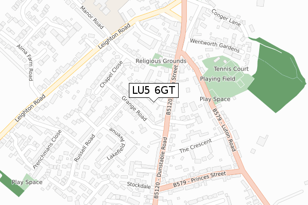
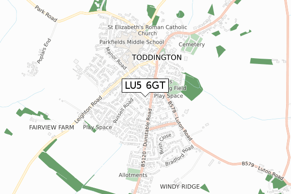
LU5 6GT is located in the Toddington electoral ward, within the unitary authority of Central Bedfordshire and the English Parliamentary constituency of Mid Bedfordshire. The Sub Integrated Care Board (ICB) Location is NHS Bedfordshire, Luton and Milton Keynes ICB - M1J4Y and the police force is Bedfordshire. This postcode has been in use since November 2019.


GetTheData
Source: OS Open Zoomstack (Ordnance Survey)
Licence: Open Government Licence (requires attribution)
Attribution: Contains OS data © Crown copyright and database right 2025
Source: Open Postcode Geo
Licence: Open Government Licence (requires attribution)
Attribution: Contains OS data © Crown copyright and database right 2025; Contains Royal Mail data © Royal Mail copyright and database right 2025; Source: Office for National Statistics licensed under the Open Government Licence v.3.0
| Easting | 500850 |
| Northing | 228576 |
| Latitude | 51.946558 |
| Longitude | -0.534101 |
GetTheData
Source: Open Postcode Geo
Licence: Open Government Licence
| Country | England |
| Postcode District | LU5 |
➜ See where LU5 is on a map ➜ Where is Toddington? | |
GetTheData
Source: Land Registry Price Paid Data
Licence: Open Government Licence
| Ward | Toddington |
| Constituency | Mid Bedfordshire |
GetTheData
Source: ONS Postcode Database
Licence: Open Government Licence
| Grange Road (High Street) | Toddington | 62m |
| Grange Road (Dunstable Road) | Toddington | 141m |
| Crescent Court (The Crescent) | Toddington | 259m |
| Crescent Court (The Crescent) | Toddington | 261m |
| The Green (Market Square) | Toddington | 280m |
| Harlington (Beds) Station | 3.2km |
GetTheData
Source: NaPTAN
Licence: Open Government Licence
GetTheData
Source: ONS Postcode Database
Licence: Open Government Licence


➜ Get more ratings from the Food Standards Agency
GetTheData
Source: Food Standards Agency
Licence: FSA terms & conditions
| Last Collection | |||
|---|---|---|---|
| Location | Mon-Fri | Sat | Distance |
| High Street | 16:30 | 09:00 | 117m |
| Meadow Road | 17:30 | 09:00 | 267m |
| Post Office The Green | 17:15 | 11:00 | 377m |
GetTheData
Source: Dracos
Licence: Creative Commons Attribution-ShareAlike
The below table lists the International Territorial Level (ITL) codes (formerly Nomenclature of Territorial Units for Statistics (NUTS) codes) and Local Administrative Units (LAU) codes for LU5 6GT:
| ITL 1 Code | Name |
|---|---|
| TLH | East |
| ITL 2 Code | Name |
| TLH2 | Bedfordshire and Hertfordshire |
| ITL 3 Code | Name |
| TLH25 | Central Bedfordshire |
| LAU 1 Code | Name |
| E06000056 | Central Bedfordshire |
GetTheData
Source: ONS Postcode Directory
Licence: Open Government Licence
The below table lists the Census Output Area (OA), Lower Layer Super Output Area (LSOA), and Middle Layer Super Output Area (MSOA) for LU5 6GT:
| Code | Name | |
|---|---|---|
| OA | E00088947 | |
| LSOA | E01017621 | Central Bedfordshire 019D |
| MSOA | E02003637 | Central Bedfordshire 019 |
GetTheData
Source: ONS Postcode Directory
Licence: Open Government Licence
| LU5 6BZ | Grange Road | 54m |
| LU5 6QB | Walnut Acre | 65m |
| LU5 6BU | Marlborough Place | 73m |
| LU5 6ET | Squires Place | 83m |
| LU5 6BX | High Street | 83m |
| LU5 6BY | High Street | 93m |
| LU5 6EZ | Grange Walk | 112m |
| LU5 6DH | Grange Gardens | 127m |
| LU5 6AY | Chapel Close | 131m |
| LU5 6FR | Hardinge Place | 159m |
GetTheData
Source: Open Postcode Geo; Land Registry Price Paid Data
Licence: Open Government Licence