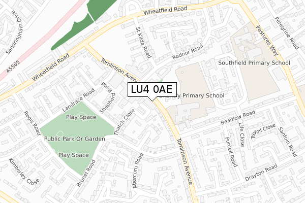
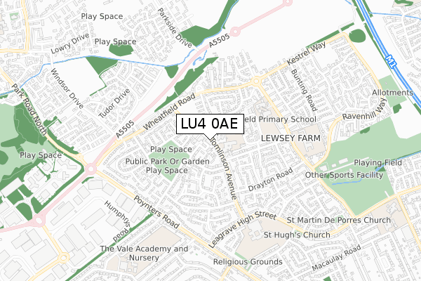
LU4 0AE is located in the Lewsey electoral ward, within the unitary authority of Luton and the English Parliamentary constituency of Luton North. The Sub Integrated Care Board (ICB) Location is NHS Bedfordshire, Luton and Milton Keynes ICB - M1J4Y and the police force is Bedfordshire. This postcode has been in use since September 2019.


GetTheData
Source: OS Open Zoomstack (Ordnance Survey)
Licence: Open Government Licence (requires attribution)
Attribution: Contains OS data © Crown copyright and database right 2025
Source: Open Postcode Geo
Licence: Open Government Licence (requires attribution)
Attribution: Contains OS data © Crown copyright and database right 2025; Contains Royal Mail data © Royal Mail copyright and database right 2025; Source: Office for National Statistics licensed under the Open Government Licence v.3.0
| Easting | 503629 |
| Northing | 223630 |
| Latitude | 51.901594 |
| Longitude | -0.495171 |
GetTheData
Source: Open Postcode Geo
Licence: Open Government Licence
| Country | England |
| Postcode District | LU4 |
➜ See where LU4 is on a map ➜ Where is Luton? | |
GetTheData
Source: Land Registry Price Paid Data
Licence: Open Government Licence
| Ward | Lewsey |
| Constituency | Luton North |
GetTheData
Source: ONS Postcode Database
Licence: Open Government Licence
| St Dominics Square (Tomlinson Avenue) | Lewsey Farm | 40m |
| St Dominics Square (Tomlinson Avenue) | Lewsey Farm | 68m |
| Brunel Road (Tomlinson Avenue) | Lewsey Farm | 134m |
| Landrace Road (Tomlinson Avenue) | Lewsey Farm | 180m |
| Landrace Road (Tomlinson Avenue) | Lewsey Farm | 207m |
| Leagrave Station | 2.6km |
GetTheData
Source: NaPTAN
Licence: Open Government Licence
| Percentage of properties with Next Generation Access | 100.0% |
| Percentage of properties with Superfast Broadband | 100.0% |
| Percentage of properties with Ultrafast Broadband | 100.0% |
| Percentage of properties with Full Fibre Broadband | 0.0% |
Superfast Broadband is between 30Mbps and 300Mbps
Ultrafast Broadband is > 300Mbps
| Percentage of properties unable to receive 2Mbps | 0.0% |
| Percentage of properties unable to receive 5Mbps | 0.0% |
| Percentage of properties unable to receive 10Mbps | 0.0% |
| Percentage of properties unable to receive 30Mbps | 0.0% |
GetTheData
Source: Ofcom
Licence: Ofcom Terms of Use (requires attribution)
GetTheData
Source: ONS Postcode Database
Licence: Open Government Licence


➜ Get more ratings from the Food Standards Agency
GetTheData
Source: Food Standards Agency
Licence: FSA terms & conditions
| Last Collection | |||
|---|---|---|---|
| Location | Mon-Fri | Sat | Distance |
| Post Office Lewsey Farm | 17:30 | 12:30 | 48m |
| Wheatfield Court | 17:30 | 12:15 | 308m |
| Marlin Road | 17:30 | 12:15 | 411m |
GetTheData
Source: Dracos
Licence: Creative Commons Attribution-ShareAlike
The below table lists the International Territorial Level (ITL) codes (formerly Nomenclature of Territorial Units for Statistics (NUTS) codes) and Local Administrative Units (LAU) codes for LU4 0AE:
| ITL 1 Code | Name |
|---|---|
| TLH | East |
| ITL 2 Code | Name |
| TLH2 | Bedfordshire and Hertfordshire |
| ITL 3 Code | Name |
| TLH21 | Luton |
| LAU 1 Code | Name |
| E06000032 | Luton |
GetTheData
Source: ONS Postcode Directory
Licence: Open Government Licence
The below table lists the Census Output Area (OA), Lower Layer Super Output Area (LSOA), and Middle Layer Super Output Area (MSOA) for LU4 0AE:
| Code | Name | |
|---|---|---|
| OA | E00079664 | |
| LSOA | E01015761 | Luton 009F |
| MSOA | E02003266 | Luton 009 |
GetTheData
Source: ONS Postcode Directory
Licence: Open Government Licence
| LU4 0SU | Thatch Close | 78m |
| LU4 0RU | Thurlow Close | 89m |
| LU4 0SP | Shepherd Road | 119m |
| LU4 0SX | Haymarket Road | 146m |
| LU4 0RX | Brunel Road | 154m |
| LU4 0SW | Landrace Road | 165m |
| LU4 0UG | Radnor Road | 187m |
| LU4 0QY | Beadlow Road | 205m |
| LU4 0UJ | St Kilda Road | 209m |
| LU4 0UL | Tomlinson Avenue | 210m |
GetTheData
Source: Open Postcode Geo; Land Registry Price Paid Data
Licence: Open Government Licence