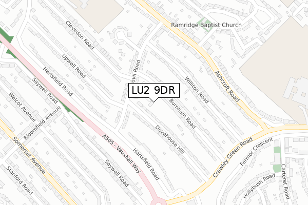
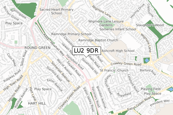
LU2 9DR is located in the Stopsley electoral ward, within the unitary authority of Luton and the English Parliamentary constituency of Luton South. The Sub Integrated Care Board (ICB) Location is NHS Bedfordshire, Luton and Milton Keynes ICB - M1J4Y and the police force is Bedfordshire. This postcode has been in use since November 2019.


GetTheData
Source: OS Open Zoomstack (Ordnance Survey)
Licence: Open Government Licence (requires attribution)
Attribution: Contains OS data © Crown copyright and database right 2025
Source: Open Postcode Geo
Licence: Open Government Licence (requires attribution)
Attribution: Contains OS data © Crown copyright and database right 2025; Contains Royal Mail data © Royal Mail copyright and database right 2025; Source: Office for National Statistics licensed under the Open Government Licence v.3.0
| Easting | 510863 |
| Northing | 222582 |
| Latitude | 51.890784 |
| Longitude | -0.390408 |
GetTheData
Source: Open Postcode Geo
Licence: Open Government Licence
| Country | England |
| Postcode District | LU2 |
➜ See where LU2 is on a map ➜ Where is Luton? | |
GetTheData
Source: Land Registry Price Paid Data
Licence: Open Government Licence
| Ward | Stopsley |
| Constituency | Luton South |
GetTheData
Source: ONS Postcode Database
Licence: Open Government Licence
| Marshall Road (Ashcroft Road) | Stopsley | 222m |
| Ashcroft Road | Stopsley | 260m |
| Yeovil Road (Ashcroft Road) | Stopsley | 266m |
| Ashcroft Road | Stopsley | 283m |
| Yeovil Road (Ashcroft Road) | Stopsley | 288m |
| Luton Station | 1.9km |
| Luton Airport Parkway Station | 2.1km |
| Leagrave Station | 5km |
GetTheData
Source: NaPTAN
Licence: Open Government Licence
GetTheData
Source: ONS Postcode Database
Licence: Open Government Licence


➜ Get more ratings from the Food Standards Agency
GetTheData
Source: Food Standards Agency
Licence: FSA terms & conditions
| Last Collection | |||
|---|---|---|---|
| Location | Mon-Fri | Sat | Distance |
| Yeovil Road | 17:30 | 12:30 | 103m |
| Ashcroft Road | 17:30 | 12:30 | 504m |
| Post Office Crawley Green | 18:30 | 12:15 | 516m |
GetTheData
Source: Dracos
Licence: Creative Commons Attribution-ShareAlike
The below table lists the International Territorial Level (ITL) codes (formerly Nomenclature of Territorial Units for Statistics (NUTS) codes) and Local Administrative Units (LAU) codes for LU2 9DR:
| ITL 1 Code | Name |
|---|---|
| TLH | East |
| ITL 2 Code | Name |
| TLH2 | Bedfordshire and Hertfordshire |
| ITL 3 Code | Name |
| TLH21 | Luton |
| LAU 1 Code | Name |
| E06000032 | Luton |
GetTheData
Source: ONS Postcode Directory
Licence: Open Government Licence
The below table lists the Census Output Area (OA), Lower Layer Super Output Area (LSOA), and Middle Layer Super Output Area (MSOA) for LU2 9DR:
| Code | Name | |
|---|---|---|
| OA | E00079771 | |
| LSOA | E01015779 | Luton 016D |
| MSOA | E02003273 | Luton 016 |
GetTheData
Source: ONS Postcode Directory
Licence: Open Government Licence
| LU2 9EF | Yeovil Road | 103m |
| LU2 9EP | Burnham Road | 104m |
| LU2 9ER | Burnham Road | 107m |
| LU2 9EJ | Williton Road | 137m |
| LU2 9ES | Dovehouse Hill | 146m |
| LU2 9EH | Williton Road | 162m |
| LU2 9EE | Yeovil Road | 166m |
| LU2 9DY | Hartsfield Road | 179m |
| LU2 9AE | Ashcroft Road | 207m |
| LU2 9EQ | Hanswick Close | 219m |
GetTheData
Source: Open Postcode Geo; Land Registry Price Paid Data
Licence: Open Government Licence