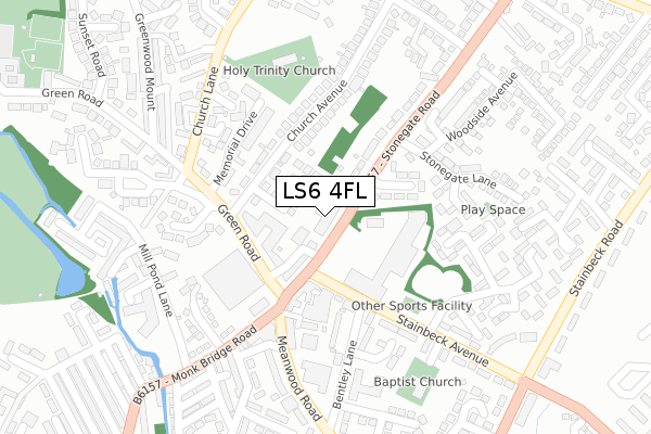
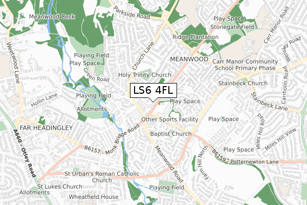
LS6 4FL is located in the Moortown electoral ward, within the metropolitan district of Leeds and the English Parliamentary constituency of Leeds North East. The Sub Integrated Care Board (ICB) Location is NHS West Yorkshire ICB - 15F and the police force is West Yorkshire. This postcode has been in use since April 2020.


GetTheData
Source: OS Open Zoomstack (Ordnance Survey)
Licence: Open Government Licence (requires attribution)
Attribution: Contains OS data © Crown copyright and database right 2025
Source: Open Postcode Geo
Licence: Open Government Licence (requires attribution)
Attribution: Contains OS data © Crown copyright and database right 2025; Contains Royal Mail data © Royal Mail copyright and database right 2025; Source: Office for National Statistics licensed under the Open Government Licence v.3.0
| Easting | 428713 |
| Northing | 437122 |
| Latitude | 53.829589 |
| Longitude | -1.565244 |
GetTheData
Source: Open Postcode Geo
Licence: Open Government Licence
| Country | England |
| Postcode District | LS6 |
➜ See where LS6 is on a map ➜ Where is Leeds? | |
GetTheData
Source: Land Registry Price Paid Data
Licence: Open Government Licence
| Ward | Moortown |
| Constituency | Leeds North East |
GetTheData
Source: ONS Postcode Database
Licence: Open Government Licence
| Wmc Stainbeck Avenue (Stonegate Road) | Meanwood | 88m |
| Stonegate Rd Stainbeck Avenue (Stonegate Road) | Meanwood | 106m |
| Meanwood Green Rd Stonegate Road (Meanwood Green Road) | Meanwood | 150m |
| Green Road Meanwood Rd (Green Road) | Meanwood | 167m |
| Green Road Memorial Dr (Green Road) | Meanwood | 206m |
| Burley Park Station | 2.1km |
| Headingley Station | 2.3km |
| Kirkstall Forge Station | 3.8km |
GetTheData
Source: NaPTAN
Licence: Open Government Licence
GetTheData
Source: ONS Postcode Database
Licence: Open Government Licence


➜ Get more ratings from the Food Standards Agency
GetTheData
Source: Food Standards Agency
Licence: FSA terms & conditions
| Last Collection | |||
|---|---|---|---|
| Location | Mon-Fri | Sat | Distance |
| Meanwood P.o. | 17:30 | 12:00 | 148m |
| 64 Stainbeck Avenue | 17:30 | 11:45 | 336m |
| Opp 95 Stonegate Road | 17:30 | 11:45 | 360m |
GetTheData
Source: Dracos
Licence: Creative Commons Attribution-ShareAlike
The below table lists the International Territorial Level (ITL) codes (formerly Nomenclature of Territorial Units for Statistics (NUTS) codes) and Local Administrative Units (LAU) codes for LS6 4FL:
| ITL 1 Code | Name |
|---|---|
| TLE | Yorkshire and The Humber |
| ITL 2 Code | Name |
| TLE4 | West Yorkshire |
| ITL 3 Code | Name |
| TLE42 | Leeds |
| LAU 1 Code | Name |
| E08000035 | Leeds |
GetTheData
Source: ONS Postcode Directory
Licence: Open Government Licence
The below table lists the Census Output Area (OA), Lower Layer Super Output Area (LSOA), and Middle Layer Super Output Area (MSOA) for LS6 4FL:
| Code | Name | |
|---|---|---|
| OA | E00058907 | |
| LSOA | E01011691 | Leeds 031D |
| MSOA | E02002360 | Leeds 031 |
GetTheData
Source: ONS Postcode Directory
Licence: Open Government Licence
| LS6 4HZ | Stonegate Road | 30m |
| LS6 4JJ | The Wickets | 78m |
| LS7 2PQ | Stonegate Farm Close | 109m |
| LS6 4JP | Green Road | 135m |
| LS6 4HY | Stonegate Road | 138m |
| LS6 4JS | Church Avenue | 151m |
| LS7 2PA | Stainbeck Avenue | 153m |
| LS6 4JX | Church Avenue | 170m |
| LS6 4PD | Green Close | 199m |
| LS7 2UR | Ellwood Close | 215m |
GetTheData
Source: Open Postcode Geo; Land Registry Price Paid Data
Licence: Open Government Licence