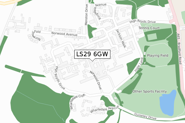
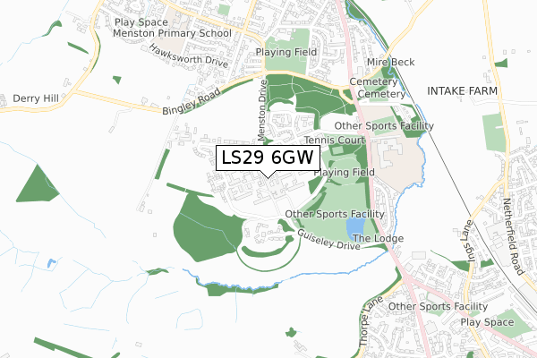
LS29 6GW is located in the Guiseley & Rawdon electoral ward, within the metropolitan district of Leeds and the English Parliamentary constituency of Pudsey. The Sub Integrated Care Board (ICB) Location is NHS West Yorkshire ICB - 15F and the police force is West Yorkshire. This postcode has been in use since November 2018.


GetTheData
Source: OS Open Zoomstack (Ordnance Survey)
Licence: Open Government Licence (requires attribution)
Attribution: Contains OS data © Crown copyright and database right 2025
Source: Open Postcode Geo
Licence: Open Government Licence (requires attribution)
Attribution: Contains OS data © Crown copyright and database right 2025; Contains Royal Mail data © Royal Mail copyright and database right 2025; Source: Office for National Statistics licensed under the Open Government Licence v.3.0
| Easting | 417478 |
| Northing | 442960 |
| Latitude | 53.882555 |
| Longitude | -1.735605 |
GetTheData
Source: Open Postcode Geo
Licence: Open Government Licence
| Country | England |
| Postcode District | LS29 |
➜ See where LS29 is on a map ➜ Where is Menston? | |
GetTheData
Source: Land Registry Price Paid Data
Licence: Open Government Licence
| Ward | Guiseley & Rawdon |
| Constituency | Pudsey |
GetTheData
Source: ONS Postcode Database
Licence: Open Government Licence
2024 11 JUL £335,000 |
2020 26 MAR £262,950 |
GetTheData
Source: HM Land Registry Price Paid Data
Licence: Contains HM Land Registry data © Crown copyright and database right 2025. This data is licensed under the Open Government Licence v3.0.
| Bradford Rd Moorland Crescent (Bradford Road) | Menston | 471m |
| Bradford Rd Moorland Crescent (Bradford Road) | Menston | 487m |
| Bradford Road St Marys School (Bradford Road) | Menston | 493m |
| Bingley Road Leathley Ave (Bingley Road) | Menston | 499m |
| Bradford Road St Marys School (Bradford Road) | Menston | 502m |
| Menston Station | 1.1km |
| Guiseley Station | 1.5km |
| Burley-in-Wharfedale Station | 3.1km |
GetTheData
Source: NaPTAN
Licence: Open Government Licence
GetTheData
Source: ONS Postcode Database
Licence: Open Government Licence


➜ Get more ratings from the Food Standards Agency
GetTheData
Source: Food Standards Agency
Licence: FSA terms & conditions
| Last Collection | |||
|---|---|---|---|
| Location | Mon-Fri | Sat | Distance |
| Buckle Lane | 17:45 | 11:00 | 415m |
| Cleasby Road/Main Street | 18:15 | 11:15 | 720m |
| White Cross P.o. | 18:15 | 11:30 | 941m |
GetTheData
Source: Dracos
Licence: Creative Commons Attribution-ShareAlike
The below table lists the International Territorial Level (ITL) codes (formerly Nomenclature of Territorial Units for Statistics (NUTS) codes) and Local Administrative Units (LAU) codes for LS29 6GW:
| ITL 1 Code | Name |
|---|---|
| TLE | Yorkshire and The Humber |
| ITL 2 Code | Name |
| TLE4 | West Yorkshire |
| ITL 3 Code | Name |
| TLE42 | Leeds |
| LAU 1 Code | Name |
| E08000035 | Leeds |
GetTheData
Source: ONS Postcode Directory
Licence: Open Government Licence
The below table lists the Census Output Area (OA), Lower Layer Super Output Area (LSOA), and Middle Layer Super Output Area (MSOA) for LS29 6GW:
| Code | Name | |
|---|---|---|
| OA | E00170573 | |
| LSOA | E01011266 | Leeds 008A |
| MSOA | E02002337 | Leeds 008 |
GetTheData
Source: ONS Postcode Directory
Licence: Open Government Licence
| LS29 6FS | Burnstall Crescent | 68m |
| LS29 6FX | Clifford Drive | 78m |
| LS29 6GE | Norwood Drive | 94m |
| LS29 6FA | Clifford Drive | 105m |
| LS29 6FZ | Clifford Drive | 109m |
| LS29 6QX | High Royds Drive | 125m |
| LS29 6FY | Clifford Drive | 130m |
| LS29 6FR | Burnstall Close | 131m |
| LS29 6FQ | Norwood Court | 135m |
| LS29 6FU | Norwood Drive | 137m |
GetTheData
Source: Open Postcode Geo; Land Registry Price Paid Data
Licence: Open Government Licence