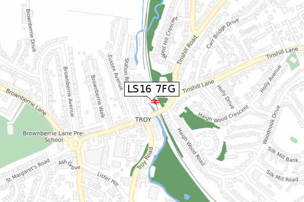
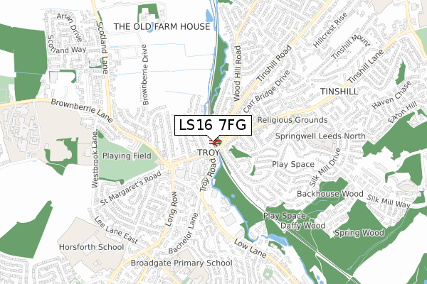
LS16 7FG is located in the Horsforth electoral ward, within the metropolitan district of Leeds and the English Parliamentary constituency of Pudsey. The Sub Integrated Care Board (ICB) Location is NHS West Yorkshire ICB - 15F and the police force is West Yorkshire. This postcode has been in use since May 2018.


GetTheData
Source: OS Open Zoomstack (Ordnance Survey)
Licence: Open Government Licence (requires attribution)
Attribution: Contains OS data © Crown copyright and database right 2025
Source: Open Postcode Geo
Licence: Open Government Licence (requires attribution)
Attribution: Contains OS data © Crown copyright and database right 2025; Contains Royal Mail data © Royal Mail copyright and database right 2025; Source: Office for National Statistics licensed under the Open Government Licence v.3.0
| Easting | 424422 |
| Northing | 439101 |
| Latitude | 53.847594 |
| Longitude | -1.630279 |
GetTheData
Source: Open Postcode Geo
Licence: Open Government Licence
| Country | England |
| Postcode District | LS16 |
➜ See where LS16 is on a map ➜ Where is Horsforth? | |
GetTheData
Source: Land Registry Price Paid Data
Licence: Open Government Licence
| Ward | Horsforth |
| Constituency | Pudsey |
GetTheData
Source: ONS Postcode Database
Licence: Open Government Licence
| Haigh Wood Rd Tinshill Lane (Haigh Wood Road) | Tinshill | 74m |
| Station Road Troy Rd (Station Road) | Horsforth | 75m |
| Haigh Wood Rd Tinshill Lane (Haigh Wood Road) | Tinshill | 87m |
| Station Road | Horsforth | 91m |
| Troy Rd Station Road (Troy Road) | Horsforth | 108m |
| Horsforth Station | 0km |
| Kirkstall Forge Station | 2.7km |
| Headingley Station | 4.1km |
GetTheData
Source: NaPTAN
Licence: Open Government Licence
GetTheData
Source: ONS Postcode Database
Licence: Open Government Licence


➜ Get more ratings from the Food Standards Agency
GetTheData
Source: Food Standards Agency
Licence: FSA terms & conditions
| Last Collection | |||
|---|---|---|---|
| Location | Mon-Fri | Sat | Distance |
| Fox & Hounds | 18:15 | 11:00 | 68m |
| Station Road P.o. | 18:00 | 11:15 | 257m |
| Lister Hill | 18:30 | 293m | |
GetTheData
Source: Dracos
Licence: Creative Commons Attribution-ShareAlike
| Risk of LS16 7FG flooding from rivers and sea | High |
| ➜ LS16 7FG flood map | |
GetTheData
Source: Open Flood Risk by Postcode
Licence: Open Government Licence
The below table lists the International Territorial Level (ITL) codes (formerly Nomenclature of Territorial Units for Statistics (NUTS) codes) and Local Administrative Units (LAU) codes for LS16 7FG:
| ITL 1 Code | Name |
|---|---|
| TLE | Yorkshire and The Humber |
| ITL 2 Code | Name |
| TLE4 | West Yorkshire |
| ITL 3 Code | Name |
| TLE42 | Leeds |
| LAU 1 Code | Name |
| E08000035 | Leeds |
GetTheData
Source: ONS Postcode Directory
Licence: Open Government Licence
The below table lists the Census Output Area (OA), Lower Layer Super Output Area (LSOA), and Middle Layer Super Output Area (MSOA) for LS16 7FG:
| Code | Name | |
|---|---|---|
| OA | E00057736 | |
| LSOA | E01011459 | Leeds 021C |
| MSOA | E02002350 | Leeds 021 |
GetTheData
Source: ONS Postcode Directory
Licence: Open Government Licence
| LS18 5NP | Sussex Avenue | 91m |
| LS18 5NQ | Troy Road | 93m |
| LS18 5NL | Station Road | 112m |
| LS18 5NR | Station Road | 133m |
| LS16 7BS | Carr Bridge Drive | 157m |
| LS16 7BU | Tinshill Road | 170m |
| LS16 7BT | Tinshill Road | 171m |
| LS18 5NX | Park Centre | 176m |
| LS18 5PG | Brownberrie Walk | 179m |
| LS16 6EQ | Haigh Wood Crescent | 182m |
GetTheData
Source: Open Postcode Geo; Land Registry Price Paid Data
Licence: Open Government Licence