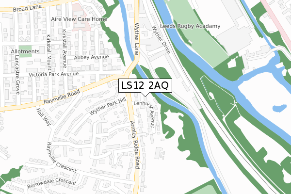
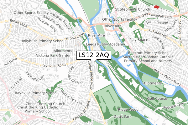
LS12 2AQ is located in the Armley electoral ward, within the metropolitan district of Leeds and the English Parliamentary constituency of Leeds West. The Sub Integrated Care Board (ICB) Location is NHS West Yorkshire ICB - 15F and the police force is West Yorkshire. This postcode has been in use since March 2019.


GetTheData
Source: OS Open Zoomstack (Ordnance Survey)
Licence: Open Government Licence (requires attribution)
Attribution: Contains OS data © Crown copyright and database right 2025
Source: Open Postcode Geo
Licence: Open Government Licence (requires attribution)
Attribution: Contains OS data © Crown copyright and database right 2025; Contains Royal Mail data © Royal Mail copyright and database right 2025; Source: Office for National Statistics licensed under the Open Government Licence v.3.0
| Easting | 425992 |
| Northing | 435077 |
| Latitude | 53.811352 |
| Longitude | -1.606754 |
GetTheData
Source: Open Postcode Geo
Licence: Open Government Licence
| Country | England |
| Postcode District | LS12 |
➜ See where LS12 is on a map ➜ Where is Leeds? | |
GetTheData
Source: Land Registry Price Paid Data
Licence: Open Government Licence
| Ward | Armley |
| Constituency | Leeds West |
GetTheData
Source: ONS Postcode Database
Licence: Open Government Licence
| Armley Ridge Road Raynville Rd (Armley Ridge Road) | Kirkstall | 67m |
| Armley Ridge Road Raynville Rd (Armley Ridge Road) | Kirkstall | 80m |
| Raynville Road Raynville Dene (Raynville Road) | Kirkstall | 134m |
| Raynville Road Raynville Dene (Raynville Road) | Kirkstall | 136m |
| Wyther Lane Wyther Dri (Wyther Lane) | Kirkstall | 222m |
| Headingley Station | 1.1km |
| Kirkstall Forge Station | 1.7km |
| Burley Park Station | 1.9km |
GetTheData
Source: NaPTAN
Licence: Open Government Licence
| Percentage of properties with Next Generation Access | 100.0% |
| Percentage of properties with Superfast Broadband | 100.0% |
| Percentage of properties with Ultrafast Broadband | 100.0% |
| Percentage of properties with Full Fibre Broadband | 0.0% |
Superfast Broadband is between 30Mbps and 300Mbps
Ultrafast Broadband is > 300Mbps
| Percentage of properties unable to receive 2Mbps | 0.0% |
| Percentage of properties unable to receive 5Mbps | 0.0% |
| Percentage of properties unable to receive 10Mbps | 0.0% |
| Percentage of properties unable to receive 30Mbps | 0.0% |
GetTheData
Source: Ofcom
Licence: Ofcom Terms of Use (requires attribution)
GetTheData
Source: ONS Postcode Database
Licence: Open Government Licence


➜ Get more ratings from the Food Standards Agency
GetTheData
Source: Food Standards Agency
Licence: FSA terms & conditions
| Last Collection | |||
|---|---|---|---|
| Location | Mon-Fri | Sat | Distance |
| Raynville Road P.o. | 17:30 | 12:00 | 313m |
| Raynville Crescent | 17:30 | 12:00 | 324m |
| Kirkstall Bridge | 17:30 | 12:00 | 447m |
GetTheData
Source: Dracos
Licence: Creative Commons Attribution-ShareAlike
The below table lists the International Territorial Level (ITL) codes (formerly Nomenclature of Territorial Units for Statistics (NUTS) codes) and Local Administrative Units (LAU) codes for LS12 2AQ:
| ITL 1 Code | Name |
|---|---|
| TLE | Yorkshire and The Humber |
| ITL 2 Code | Name |
| TLE4 | West Yorkshire |
| ITL 3 Code | Name |
| TLE42 | Leeds |
| LAU 1 Code | Name |
| E08000035 | Leeds |
GetTheData
Source: ONS Postcode Directory
Licence: Open Government Licence
The below table lists the Census Output Area (OA), Lower Layer Super Output Area (LSOA), and Middle Layer Super Output Area (MSOA) for LS12 2AQ:
| Code | Name | |
|---|---|---|
| OA | E00056855 | |
| LSOA | E01011281 | Leeds 059A |
| MSOA | E02002388 | Leeds 059 |
GetTheData
Source: ONS Postcode Directory
Licence: Open Government Licence
| LS12 2RE | Lenhurst Avenue | 74m |
| LS12 2SR | Raynville Dene | 118m |
| LS12 2TH | Houghley Road | 145m |
| LS12 2SZ | Wyther Park Hill | 148m |
| LS12 2SU | Armley Ridge Road | 166m |
| LS5 3DQ | Abbey Mount | 168m |
| LS12 2RD | Armley Ridge Road | 180m |
| LS5 3DH | Abbey Avenue | 185m |
| LS12 2JY | Raynville Garth | 189m |
| LS12 2JZ | Raynville Way | 198m |
GetTheData
Source: Open Postcode Geo; Land Registry Price Paid Data
Licence: Open Government Licence