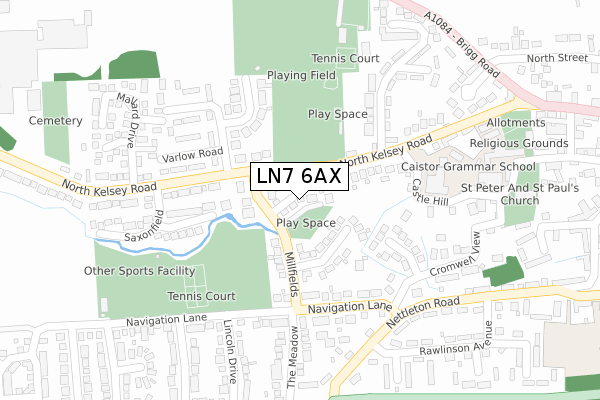
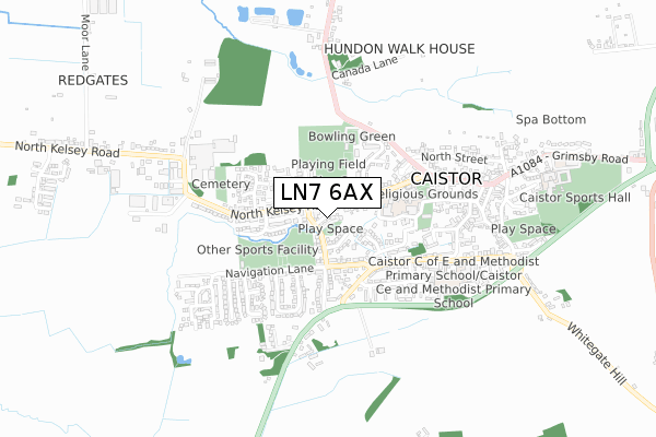
LN7 6AX is located in the Caistor and Yarborough electoral ward, within the local authority district of West Lindsey and the English Parliamentary constituency of Gainsborough. The Sub Integrated Care Board (ICB) Location is NHS Lincolnshire ICB - 71E and the police force is Lincolnshire. This postcode has been in use since October 2019.


GetTheData
Source: OS Open Zoomstack (Ordnance Survey)
Licence: Open Government Licence (requires attribution)
Attribution: Contains OS data © Crown copyright and database right 2024
Source: Open Postcode Geo
Licence: Open Government Licence (requires attribution)
Attribution: Contains OS data © Crown copyright and database right 2024; Contains Royal Mail data © Royal Mail copyright and database right 2024; Source: Office for National Statistics licensed under the Open Government Licence v.3.0
| Easting | 511263 |
| Northing | 401257 |
| Latitude | 53.496280 |
| Longitude | -0.324248 |
GetTheData
Source: Open Postcode Geo
Licence: Open Government Licence
| Country | England |
| Postcode District | LN7 |
➜ See where LN7 is on a map ➜ Where is Caistor? | |
GetTheData
Source: Land Registry Price Paid Data
Licence: Open Government Licence
| Ward | Caistor And Yarborough |
| Constituency | Gainsborough |
GetTheData
Source: ONS Postcode Database
Licence: Open Government Licence
5, MILLBROOK, CAISTOR, MARKET RASEN, LN7 6AX 2020 9 APR £170,000 |
6, MILLBROOK, CAISTOR, MARKET RASEN, LN7 6AX 2019 6 DEC £167,500 |
GetTheData
Source: HM Land Registry Price Paid Data
Licence: Contains HM Land Registry data © Crown copyright and database right 2024. This data is licensed under the Open Government Licence v3.0.
| Grammar School (North Kelsey Road) | Caistor | 266m |
| Rawlinson Avenue (Nettleton Road) | Caistor | 292m |
| Rawlinson Avenue (Nettleton Road) | Caistor | 301m |
| Westwold Road (Nettleton Road) | Caistor | 332m |
| Westwold Road (Nettleton Road) | Caistor | 348m |
GetTheData
Source: NaPTAN
Licence: Open Government Licence
GetTheData
Source: ONS Postcode Database
Licence: Open Government Licence


➜ Get more ratings from the Food Standards Agency
GetTheData
Source: Food Standards Agency
Licence: FSA terms & conditions
| Last Collection | |||
|---|---|---|---|
| Location | Mon-Fri | Sat | Distance |
| Hansard Cres | 17:00 | 08:00 | 212m |
| Nettleham Road | 16:45 | 11:15 | 267m |
| Caistor Post Office | 17:00 | 11:00 | 581m |
GetTheData
Source: Dracos
Licence: Creative Commons Attribution-ShareAlike
The below table lists the International Territorial Level (ITL) codes (formerly Nomenclature of Territorial Units for Statistics (NUTS) codes) and Local Administrative Units (LAU) codes for LN7 6AX:
| ITL 1 Code | Name |
|---|---|
| TLF | East Midlands (England) |
| ITL 2 Code | Name |
| TLF3 | Lincolnshire |
| ITL 3 Code | Name |
| TLF30 | Lincolnshire CC |
| LAU 1 Code | Name |
| E07000142 | West Lindsey |
GetTheData
Source: ONS Postcode Directory
Licence: Open Government Licence
The below table lists the Census Output Area (OA), Lower Layer Super Output Area (LSOA), and Middle Layer Super Output Area (MSOA) for LN7 6AX:
| Code | Name | |
|---|---|---|
| OA | E00133945 | |
| LSOA | E01026368 | West Lindsey 001B |
| MSOA | E02005492 | West Lindsey 001 |
GetTheData
Source: ONS Postcode Directory
Licence: Open Government Licence
| LN7 6RG | Hersey Road | 33m |
| LN7 6QN | North Kelsey Road | 87m |
| LN7 6PD | Millfields | 93m |
| LN7 6PB | Windsor Drive | 137m |
| LN7 6SG | Saxon Way | 156m |
| LN7 6QR | Ayscough Grove | 173m |
| LN7 6QP | Kelsway | 179m |
| LN7 6NH | Navigation Lane | 202m |
| LN7 6UJ | Chichester Drive | 215m |
| LN7 6QL | Castle Hill | 219m |
GetTheData
Source: Open Postcode Geo; Land Registry Price Paid Data
Licence: Open Government Licence