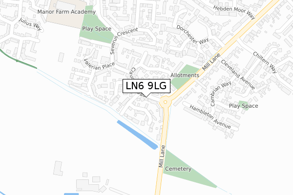
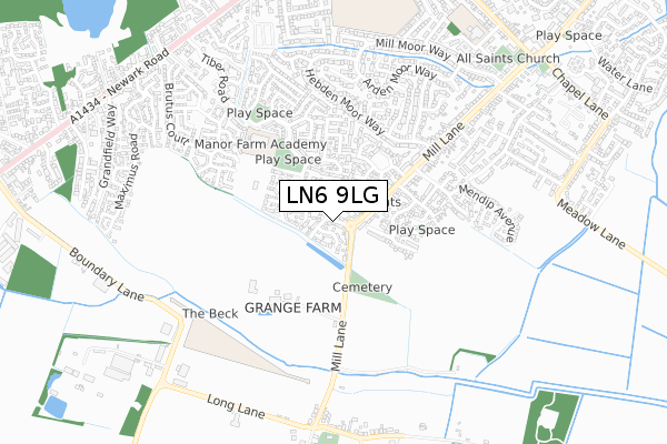
LN6 9LG is located in the Hykeham Fosse electoral ward, within the local authority district of North Kesteven and the English Parliamentary constituency of Sleaford and North Hykeham. The Sub Integrated Care Board (ICB) Location is NHS Lincolnshire ICB - 71E and the police force is Lincolnshire. This postcode has been in use since April 2020.


GetTheData
Source: OS Open Zoomstack (Ordnance Survey)
Licence: Open Government Licence (requires attribution)
Attribution: Contains OS data © Crown copyright and database right 2025
Source: Open Postcode Geo
Licence: Open Government Licence (requires attribution)
Attribution: Contains OS data © Crown copyright and database right 2025; Contains Royal Mail data © Royal Mail copyright and database right 2025; Source: Office for National Statistics licensed under the Open Government Licence v.3.0
| Easting | 492075 |
| Northing | 365960 |
| Latitude | 53.182802 |
| Longitude | -0.623639 |
GetTheData
Source: Open Postcode Geo
Licence: Open Government Licence
| Country | England |
| Postcode District | LN6 |
➜ See where LN6 is on a map ➜ Where is South Hykeham? | |
GetTheData
Source: Land Registry Price Paid Data
Licence: Open Government Licence
| Ward | Hykeham Fosse |
| Constituency | Sleaford And North Hykeham |
GetTheData
Source: ONS Postcode Database
Licence: Open Government Licence
| Pennells Garden Centre (Newark Road) | South Hykeham | 557m |
| Thorpe Lane (Newark Road) | South Hykeham | 587m |
| Thorpe Lane (Newark Road) | South Hykeham | 598m |
| Pennells Garden Centre (Newark Road) | South Hykeham | 623m |
| Grandfield Way (Newark Road) | North Hykeham | 747m |
| Hykeham Station | 2.1km |
GetTheData
Source: NaPTAN
Licence: Open Government Licence
GetTheData
Source: ONS Postcode Database
Licence: Open Government Licence


➜ Get more ratings from the Food Standards Agency
GetTheData
Source: Food Standards Agency
Licence: FSA terms & conditions
| Last Collection | |||
|---|---|---|---|
| Location | Mon-Fri | Sat | Distance |
| Thorpe Lane | 17:00 | 11:30 | 536m |
| Macmillan Avenue | 17:00 | 11:15 | 1,438m |
| Hykeham Moor P.o. | 17:15 | 12:15 | 1,956m |
GetTheData
Source: Dracos
Licence: Creative Commons Attribution-ShareAlike
The below table lists the International Territorial Level (ITL) codes (formerly Nomenclature of Territorial Units for Statistics (NUTS) codes) and Local Administrative Units (LAU) codes for LN6 9LG:
| ITL 1 Code | Name |
|---|---|
| TLF | East Midlands (England) |
| ITL 2 Code | Name |
| TLF3 | Lincolnshire |
| ITL 3 Code | Name |
| TLF30 | Lincolnshire CC |
| LAU 1 Code | Name |
| E07000139 | North Kesteven |
GetTheData
Source: ONS Postcode Directory
Licence: Open Government Licence
The below table lists the Census Output Area (OA), Lower Layer Super Output Area (LSOA), and Middle Layer Super Output Area (MSOA) for LN6 9LG:
| Code | Name | |
|---|---|---|
| OA | E00132933 | |
| LSOA | E01032994 | North Kesteven 003H |
| MSOA | E02005455 | North Kesteven 003 |
GetTheData
Source: ONS Postcode Directory
Licence: Open Government Licence
| LN6 9NN | Crow Park | 84m |
| LN6 9NW | Thorpe Lane | 145m |
| LN6 9UT | Hazel Close | 371m |
| LN6 9NL | Wood Lane | 381m |
| LN6 9UG | Fox Covert | 455m |
| LN6 9FE | Blackberry Close | 460m |
| LN6 9NH | Newark Road | 482m |
| LN6 9WQ | Bracken Court | 484m |
| LN6 9NY | Sinderson Meadows | 503m |
| LN6 9NE | Woodcroft | 503m |
GetTheData
Source: Open Postcode Geo; Land Registry Price Paid Data
Licence: Open Government Licence