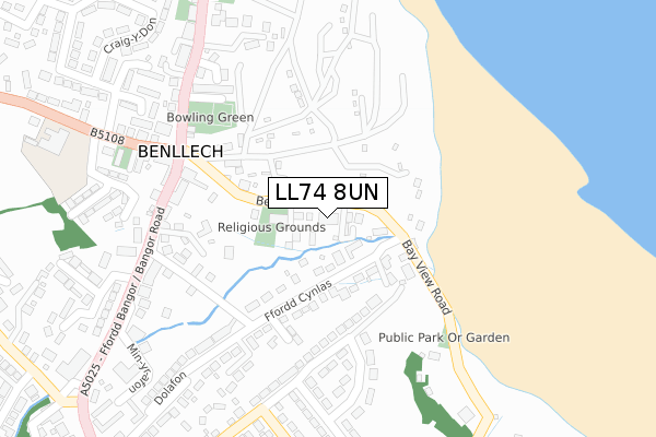
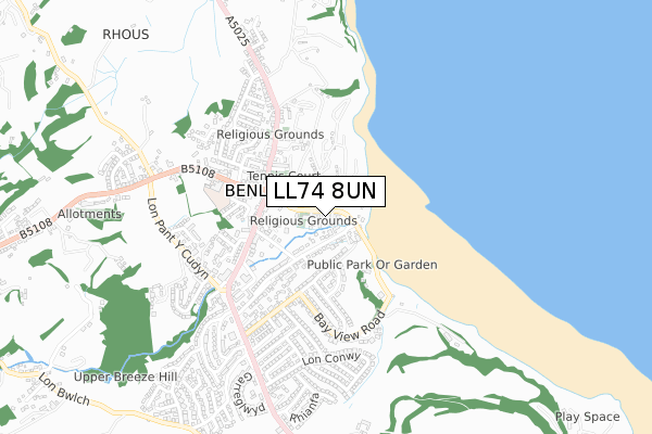
LL74 8UN is located in the Lligwy electoral ward, within the unitary authority of Isle of Anglesey and the Welsh Parliamentary constituency of Ynys Môn. The Local Health Board is Betsi Cadwaladr University and the police force is North Wales. This postcode has been in use since August 2017.


GetTheData
Source: OS Open Zoomstack (Ordnance Survey)
Licence: Open Government Licence (requires attribution)
Attribution: Contains OS data © Crown copyright and database right 2025
Source: Open Postcode Geo
Licence: Open Government Licence (requires attribution)
Attribution: Contains OS data © Crown copyright and database right 2025; Contains Royal Mail data © Royal Mail copyright and database right 2025; Source: Office for National Statistics licensed under the Open Government Licence v.3.0
| Easting | 252075 |
| Northing | 382727 |
| Latitude | 53.320758 |
| Longitude | -4.222258 |
GetTheData
Source: Open Postcode Geo
Licence: Open Government Licence
| Country | Wales |
| Postcode District | LL74 |
➜ See where LL74 is on a map ➜ Where is Benllech? | |
GetTheData
Source: Land Registry Price Paid Data
Licence: Open Government Licence
| Ward | Lligwy |
| Constituency | Ynys Môn |
GetTheData
Source: ONS Postcode Database
Licence: Open Government Licence
| Beach Road | Benllech | 138m |
| Beach Road | Benllech | 147m |
| War Memorial (Amlwch Road) | Benllech | 268m |
| War Memorial (Amlwch Road) | Benllech | 271m |
| Rhostrefor Hotel (Amlwch Road) | Benllech | 304m |
GetTheData
Source: NaPTAN
Licence: Open Government Licence
| Percentage of properties with Next Generation Access | 100.0% |
| Percentage of properties with Superfast Broadband | 100.0% |
| Percentage of properties with Ultrafast Broadband | 0.0% |
| Percentage of properties with Full Fibre Broadband | 0.0% |
Superfast Broadband is between 30Mbps and 300Mbps
Ultrafast Broadband is > 300Mbps
| Median download speed | 40.0Mbps |
| Average download speed | 43.1Mbps |
| Maximum download speed | 79.99Mbps |
| Median upload speed | 10.0Mbps |
| Average upload speed | 10.3Mbps |
| Maximum upload speed | 20.00Mbps |
| Percentage of properties unable to receive 2Mbps | 0.0% |
| Percentage of properties unable to receive 5Mbps | 0.0% |
| Percentage of properties unable to receive 10Mbps | 0.0% |
| Percentage of properties unable to receive 30Mbps | 0.0% |
GetTheData
Source: Ofcom
Licence: Ofcom Terms of Use (requires attribution)
GetTheData
Source: ONS Postcode Database
Licence: Open Government Licence


➜ Get more ratings from the Food Standards Agency
GetTheData
Source: Food Standards Agency
Licence: FSA terms & conditions
| Last Collection | |||
|---|---|---|---|
| Location | Mon-Fri | Sat | Distance |
| Benllech Post Office | 16:30 | 10:30 | 486m |
| Fferam | 16:35 | 10:30 | 681m |
| Carreg Winllan | 12:00 | 09:45 | 1,314m |
GetTheData
Source: Dracos
Licence: Creative Commons Attribution-ShareAlike
The below table lists the International Territorial Level (ITL) codes (formerly Nomenclature of Territorial Units for Statistics (NUTS) codes) and Local Administrative Units (LAU) codes for LL74 8UN:
| ITL 1 Code | Name |
|---|---|
| TLL | Wales |
| ITL 2 Code | Name |
| TLL1 | West Wales and The Valleys |
| ITL 3 Code | Name |
| TLL11 | Isle of Anglesey |
| LAU 1 Code | Name |
| W06000001 | Isle of Anglesey |
GetTheData
Source: ONS Postcode Directory
Licence: Open Government Licence
The below table lists the Census Output Area (OA), Lower Layer Super Output Area (LSOA), and Middle Layer Super Output Area (MSOA) for LL74 8UN:
| Code | Name | |
|---|---|---|
| OA | W00000096 | |
| LSOA | W01000019 | Isle of Anglesey 005C |
| MSOA | W02000005 | Isle of Anglesey 005 |
GetTheData
Source: ONS Postcode Directory
Licence: Open Government Licence
| LL74 8SW | Beach Road | 45m |
| LL74 8SP | Ffordd Cynlas | 143m |
| LL74 8TG | 238m | |
| LL74 8TH | 256m | |
| LL74 8TD | 260m | |
| LL74 8QE | 264m | |
| LL74 8TU | Bay View Road | 266m |
| LL74 8SX | Trem Y Mor | 273m |
| LL74 8SN | 296m | |
| LL74 8TF | 306m |
GetTheData
Source: Open Postcode Geo; Land Registry Price Paid Data
Licence: Open Government Licence