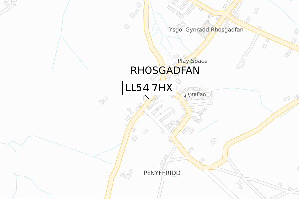
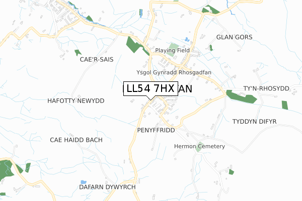
LL54 7HX is located in the Tryfan electoral ward, within the unitary authority of Gwynedd and the Welsh Parliamentary constituency of Arfon. The Local Health Board is Betsi Cadwaladr University and the police force is North Wales. This postcode has been in use since August 2019.


GetTheData
Source: OS Open Zoomstack (Ordnance Survey)
Licence: Open Government Licence (requires attribution)
Attribution: Contains OS data © Crown copyright and database right 2025
Source: Open Postcode Geo
Licence: Open Government Licence (requires attribution)
Attribution: Contains OS data © Crown copyright and database right 2025; Contains Royal Mail data © Royal Mail copyright and database right 2025; Source: Office for National Statistics licensed under the Open Government Licence v.3.0
| Easting | 250508 |
| Northing | 356981 |
| Latitude | 53.089067 |
| Longitude | -4.233701 |
GetTheData
Source: Open Postcode Geo
Licence: Open Government Licence
| Country | Wales |
| Postcode District | LL54 |
➜ See where LL54 is on a map | |
GetTheData
Source: Land Registry Price Paid Data
Licence: Open Government Licence
| Ward | Tryfan |
| Constituency | Arfon |
GetTheData
Source: ONS Postcode Database
Licence: Open Government Licence
| Rhosgadfan Square (Main Road) | Rhosgadfan | 62m |
| Post Office (Main Road) | Rhosgadfan | 62m |
| Cae`r Gors (Main Road) | Rhosgadfan | 358m |
| Cae`r Gors (Main Road) | Rhosgadfan | 365m |
| Capel (Main Road) | Rhosgadfan | 368m |
GetTheData
Source: NaPTAN
Licence: Open Government Licence
GetTheData
Source: ONS Postcode Database
Licence: Open Government Licence


➜ Get more ratings from the Food Standards Agency
GetTheData
Source: Food Standards Agency
Licence: FSA terms & conditions
| Last Collection | |||
|---|---|---|---|
| Location | Mon-Fri | Sat | Distance |
| Rhostryfan Box | 11:00 | 11:00 | 1,188m |
| Groeslon Post Office | 16:45 | 11:30 | 3,334m |
| Betws Garmon | 10:55 | 10:45 | 3,353m |
GetTheData
Source: Dracos
Licence: Creative Commons Attribution-ShareAlike
The below table lists the International Territorial Level (ITL) codes (formerly Nomenclature of Territorial Units for Statistics (NUTS) codes) and Local Administrative Units (LAU) codes for LL54 7HX:
| ITL 1 Code | Name |
|---|---|
| TLL | Wales |
| ITL 2 Code | Name |
| TLL1 | West Wales and The Valleys |
| ITL 3 Code | Name |
| TLL12 | Gwynedd |
| LAU 1 Code | Name |
| W06000002 | Gwynedd |
GetTheData
Source: ONS Postcode Directory
Licence: Open Government Licence
The below table lists the Census Output Area (OA), Lower Layer Super Output Area (LSOA), and Middle Layer Super Output Area (MSOA) for LL54 7HX:
| Code | Name | |
|---|---|---|
| OA | W00000448 | |
| LSOA | W01000088 | Gwynedd 007B |
| MSOA | W02000016 | Gwynedd 007 |
GetTheData
Source: ONS Postcode Directory
Licence: Open Government Licence
| LL54 7HY | Llety | 25m |
| LL54 7HU | 25m | |
| LL54 7HT | Rhes Ganol | 44m |
| LL54 7HS | Bron Eryri Terrace | 77m |
| LL54 7HW | Cadfan Terrace | 83m |
| LL54 7HL | 105m | |
| LL54 7LA | 116m | |
| LL54 7HR | 125m | |
| LL54 7HP | Dreflan | 167m |
| LL54 7HA | Gwelfor | 326m |
GetTheData
Source: Open Postcode Geo; Land Registry Price Paid Data
Licence: Open Government Licence