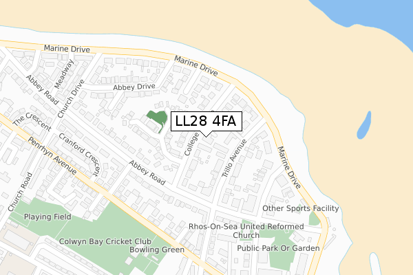
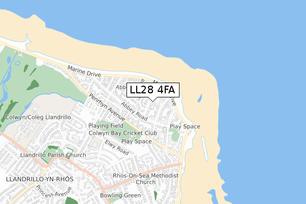
LL28 4FA is located in the Llandrillo-yn-Rhos electoral ward, within the unitary authority of Conwy and the Welsh Parliamentary constituency of Clwyd West. The Local Health Board is Betsi Cadwaladr University and the police force is North Wales. This postcode has been in use since November 2019.


GetTheData
Source: OS Open Zoomstack (Ordnance Survey)
Licence: Open Government Licence (requires attribution)
Attribution: Contains OS data © Crown copyright and database right 2025
Source: Open Postcode Geo
Licence: Open Government Licence (requires attribution)
Attribution: Contains OS data © Crown copyright and database right 2025; Contains Royal Mail data © Royal Mail copyright and database right 2025; Source: Office for National Statistics licensed under the Open Government Licence v.3.0
| Easting | 283998 |
| Northing | 381041 |
| Latitude | 53.313573 |
| Longitude | -3.742656 |
GetTheData
Source: Open Postcode Geo
Licence: Open Government Licence
| Country | Wales |
| Postcode District | LL28 |
➜ See where LL28 is on a map ➜ Where is Colwyn Bay? | |
GetTheData
Source: Land Registry Price Paid Data
Licence: Open Government Licence
| Ward | Llandrillo-yn-rhos |
| Constituency | Clwyd West |
GetTheData
Source: ONS Postcode Database
Licence: Open Government Licence
| Newton Mount (Abbey Road) | Rhos-on-sea | 184m |
| Church (Abbey Road) | Rhos-on-sea | 198m |
| Church (Abbey Road) | Rhos-on-sea | 202m |
| South Place (Penrhyn Avenue) | Rhos-on-sea | 252m |
| South Place (Penrhyn Avenue) | Rhos-on-sea | 260m |
| Colwyn Bay Station | 2.2km |
| Llandudno Junction Station | 5.5km |
GetTheData
Source: NaPTAN
Licence: Open Government Licence
GetTheData
Source: ONS Postcode Database
Licence: Open Government Licence


➜ Get more ratings from the Food Standards Agency
GetTheData
Source: Food Standards Agency
Licence: FSA terms & conditions
| Last Collection | |||
|---|---|---|---|
| Location | Mon-Fri | Sat | Distance |
| Whitehall Road | 17:20 | 11:30 | 150m |
| Foreshore Park | 17:00 | 12:00 | 217m |
| Llandrillo Yn Rhos | 17:20 | 12:00 | 497m |
GetTheData
Source: Dracos
Licence: Creative Commons Attribution-ShareAlike
The below table lists the International Territorial Level (ITL) codes (formerly Nomenclature of Territorial Units for Statistics (NUTS) codes) and Local Administrative Units (LAU) codes for LL28 4FA:
| ITL 1 Code | Name |
|---|---|
| TLL | Wales |
| ITL 2 Code | Name |
| TLL1 | West Wales and The Valleys |
| ITL 3 Code | Name |
| TLL13 | Conwy and Denbighshire |
| LAU 1 Code | Name |
| W06000003 | Conwy |
GetTheData
Source: ONS Postcode Directory
Licence: Open Government Licence
The below table lists the Census Output Area (OA), Lower Layer Super Output Area (LSOA), and Middle Layer Super Output Area (MSOA) for LL28 4FA:
| Code | Name | |
|---|---|---|
| OA | W00000848 | |
| LSOA | W01000156 | Conwy 004B |
| MSOA | W02000030 | Conwy 004 |
GetTheData
Source: ONS Postcode Directory
Licence: Open Government Licence
| LL28 4NT | College Avenue | 33m |
| LL28 4NS | Trillo Avenue | 53m |
| LL28 4ND | Foreshore Park | 108m |
| LL28 4PW | The Cloisters | 118m |
| LL28 4HS | Marine Drive | 147m |
| LL28 4NW | Abbey Road | 159m |
| LL28 4NN | Colwyn Avenue | 169m |
| LL28 4NR | Abbey Road | 174m |
| LL28 4PU | Abbey Road | 190m |
| LL28 4NP | Abbey Road | 200m |
GetTheData
Source: Open Postcode Geo; Land Registry Price Paid Data
Licence: Open Government Licence