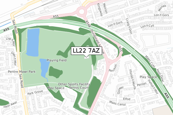
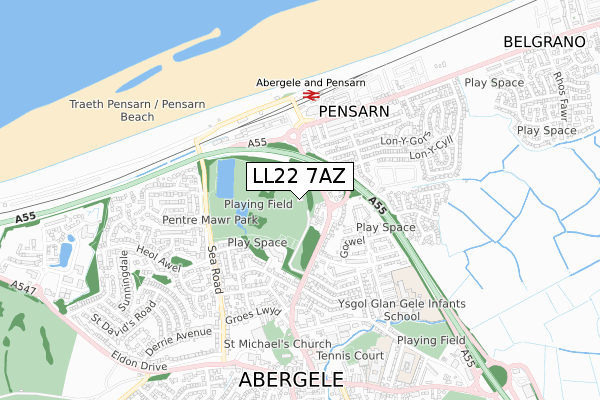
LL22 7AZ is located in the Pen-sarn Pentre Mawr electoral ward, within the unitary authority of Conwy and the Welsh Parliamentary constituency of Clwyd West. The Local Health Board is Betsi Cadwaladr University and the police force is North Wales. This postcode has been in use since May 2019.


GetTheData
Source: OS Open Zoomstack (Ordnance Survey)
Licence: Open Government Licence (requires attribution)
Attribution: Contains OS data © Crown copyright and database right 2025
Source: Open Postcode Geo
Licence: Open Government Licence (requires attribution)
Attribution: Contains OS data © Crown copyright and database right 2025; Contains Royal Mail data © Royal Mail copyright and database right 2025; Source: Office for National Statistics licensed under the Open Government Licence v.3.0
| Easting | 294603 |
| Northing | 378295 |
| Latitude | 53.291118 |
| Longitude | -3.582632 |
GetTheData
Source: Open Postcode Geo
Licence: Open Government Licence
| Country | Wales |
| Postcode District | LL22 |
➜ See where LL22 is on a map ➜ Where is Abergele? | |
GetTheData
Source: Land Registry Price Paid Data
Licence: Open Government Licence
| Ward | Pen-sarn Pentre Mawr |
| Constituency | Clwyd West |
GetTheData
Source: ONS Postcode Database
Licence: Open Government Licence
| Maes Canol (Dundonald Avenue) | Abergele | 190m |
| Maes Canol (Dundonald Avenue) | Abergele | 220m |
| Station (Marine Road) | Pensarn | 265m |
| Station (Abergelemarine Road) | Pensarn | 322m |
| Surgery (Dundonald Avenue) | Abergele | 341m |
| Abergele & Pensarn Station | 0.4km |
GetTheData
Source: NaPTAN
Licence: Open Government Licence
GetTheData
Source: ONS Postcode Database
Licence: Open Government Licence


➜ Get more ratings from the Food Standards Agency
GetTheData
Source: Food Standards Agency
Licence: FSA terms & conditions
| Last Collection | |||
|---|---|---|---|
| Location | Mon-Fri | Sat | Distance |
| Maes Y Dre | 16:45 | 11:00 | 913m |
| Marford Drive | 16:45 | 11:00 | 1,066m |
| Tan Yr Wylfa | 16:45 | 11:00 | 1,256m |
GetTheData
Source: Dracos
Licence: Creative Commons Attribution-ShareAlike
The below table lists the International Territorial Level (ITL) codes (formerly Nomenclature of Territorial Units for Statistics (NUTS) codes) and Local Administrative Units (LAU) codes for LL22 7AZ:
| ITL 1 Code | Name |
|---|---|
| TLL | Wales |
| ITL 2 Code | Name |
| TLL1 | West Wales and The Valleys |
| ITL 3 Code | Name |
| TLL13 | Conwy and Denbighshire |
| LAU 1 Code | Name |
| W06000003 | Conwy |
GetTheData
Source: ONS Postcode Directory
Licence: Open Government Licence
The below table lists the Census Output Area (OA), Lower Layer Super Output Area (LSOA), and Middle Layer Super Output Area (MSOA) for LL22 7AZ:
| Code | Name | |
|---|---|---|
| OA | W00000958 | |
| LSOA | W01000178 | Conwy 010E |
| MSOA | W02000036 | Conwy 010 |
GetTheData
Source: ONS Postcode Directory
Licence: Open Government Licence
| LL22 7PL | Pentre Mawr | 118m |
| LL22 7PG | Dundonald Avenue | 128m |
| LL22 7PD | Penrhos | 195m |
| LL22 7LN | Dundonald Avenue | 198m |
| LL22 7RE | Queensway | 247m |
| LL22 7SA | Lon Y Gors | 270m |
| LL22 7RL | Craig Y Don | 276m |
| LL22 7RF | Kingsway | 281m |
| LL22 7NT | Ffordd Y Morfa | 286m |
| LL22 7LL | Dundonald Avenue | 292m |
GetTheData
Source: Open Postcode Geo; Land Registry Price Paid Data
Licence: Open Government Licence