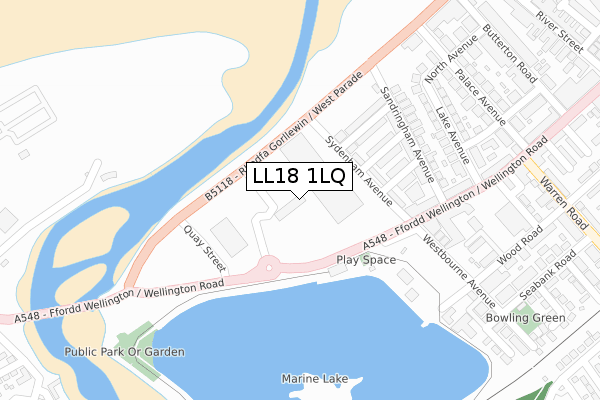
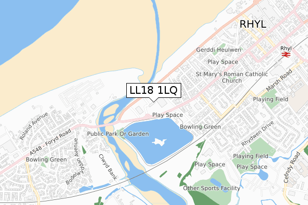
LL18 1LQ is located in the Rhyl West electoral ward, within the unitary authority of Denbighshire and the Welsh Parliamentary constituency of Vale of Clwyd. The Local Health Board is Betsi Cadwaladr University and the police force is North Wales. This postcode has been in use since August 2017.


GetTheData
Source: OS Open Zoomstack (Ordnance Survey)
Licence: Open Government Licence (requires attribution)
Attribution: Contains OS data © Crown copyright and database right 2025
Source: Open Postcode Geo
Licence: Open Government Licence (requires attribution)
Attribution: Contains OS data © Crown copyright and database right 2025; Contains Royal Mail data © Royal Mail copyright and database right 2025; Source: Office for National Statistics licensed under the Open Government Licence v.3.0
| Easting | 299883 |
| Northing | 380819 |
| Latitude | 53.314823 |
| Longitude | -3.504248 |
GetTheData
Source: Open Postcode Geo
Licence: Open Government Licence
| Country | Wales |
| Postcode District | LL18 |
➜ See where LL18 is on a map ➜ Where is Rhyl? | |
GetTheData
Source: Land Registry Price Paid Data
Licence: Open Government Licence
| Ward | Rhyl West |
| Constituency | Vale Of Clwyd |
GetTheData
Source: ONS Postcode Database
Licence: Open Government Licence
| Marine Lake (Wellington Road) | Rhyl | 112m |
| Marine Lake (Wellington Road) | Rhyl | 122m |
| Ocean Beach (Rhodfa Gorllewin) | Rhyl | 123m |
| Ocean Beach (West Parade) | Rhyl | 144m |
| Westbourne Avenue (Wellington Road) | Rhyl | 205m |
| Rhyl Station | 1.1km |
GetTheData
Source: NaPTAN
Licence: Open Government Licence
GetTheData
Source: ONS Postcode Database
Licence: Open Government Licence


➜ Get more ratings from the Food Standards Agency
GetTheData
Source: Food Standards Agency
Licence: FSA terms & conditions
| Last Collection | |||
|---|---|---|---|
| Location | Mon-Fri | Sat | Distance |
| Marine Drive | 16:45 | 10:30 | 1,587m |
| Abbey Street | 17:20 | 11:00 | 3,312m |
| St Margarets Drive | 17:15 | 11:00 | 3,385m |
GetTheData
Source: Dracos
Licence: Creative Commons Attribution-ShareAlike
The below table lists the International Territorial Level (ITL) codes (formerly Nomenclature of Territorial Units for Statistics (NUTS) codes) and Local Administrative Units (LAU) codes for LL18 1LQ:
| ITL 1 Code | Name |
|---|---|
| TLL | Wales |
| ITL 2 Code | Name |
| TLL1 | West Wales and The Valleys |
| ITL 3 Code | Name |
| TLL13 | Conwy and Denbighshire |
| LAU 1 Code | Name |
| W06000004 | Denbighshire |
GetTheData
Source: ONS Postcode Directory
Licence: Open Government Licence
The below table lists the Census Output Area (OA), Lower Layer Super Output Area (LSOA), and Middle Layer Super Output Area (MSOA) for LL18 1LQ:
| Code | Name | |
|---|---|---|
| OA | W00001286 | |
| LSOA | W01000241 | Denbighshire 004F |
| MSOA | W02000045 | Denbighshire 004 |
GetTheData
Source: ONS Postcode Directory
Licence: Open Government Licence
| LL18 1NS | Sydenham Avenue | 136m |
| LL18 1NW | Balmoral Grove | 158m |
| LL18 1NN | Marlborough Grove | 161m |
| LL18 1NP | Osborne Grove | 170m |
| LL18 1NL | Sandringham Avenue | 203m |
| LL18 1NH | Sandringham Avenue | 210m |
| LL18 1LL | Wellington Road | 225m |
| LL18 1NG | Sandringham Avenue | 229m |
| LL18 1NF | Sandringham Avenue | 236m |
| LL18 1LR | Wellington Road | 236m |
GetTheData
Source: Open Postcode Geo; Land Registry Price Paid Data
Licence: Open Government Licence