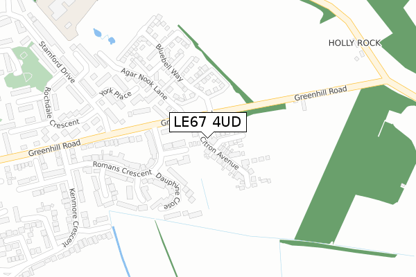
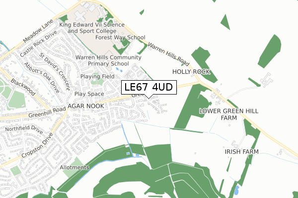
LE67 4UD is located in the Castle Rock electoral ward, within the local authority district of North West Leicestershire and the English Parliamentary constituency of North West Leicestershire. The Sub Integrated Care Board (ICB) Location is NHS Leicester, Leicestershire and Rutland ICB - 04V and the police force is Leicestershire. This postcode has been in use since September 2019.


GetTheData
Source: OS Open Zoomstack (Ordnance Survey)
Licence: Open Government Licence (requires attribution)
Attribution: Contains OS data © Crown copyright and database right 2025
Source: Open Postcode Geo
Licence: Open Government Licence (requires attribution)
Attribution: Contains OS data © Crown copyright and database right 2025; Contains Royal Mail data © Royal Mail copyright and database right 2025; Source: Office for National Statistics licensed under the Open Government Licence v.3.0
| Easting | 446052 |
| Northing | 314150 |
| Latitude | 52.723064 |
| Longitude | -1.319587 |
GetTheData
Source: Open Postcode Geo
Licence: Open Government Licence
| Country | England |
| Postcode District | LE67 |
➜ See where LE67 is on a map ➜ Where is Coalville? | |
GetTheData
Source: Land Registry Price Paid Data
Licence: Open Government Licence
| Ward | Castle Rock |
| Constituency | North West Leicestershire |
GetTheData
Source: ONS Postcode Database
Licence: Open Government Licence
2024 16 SEP £332,000 |
2024 7 JUN £400,000 |
7, CITRON AVENUE, COALVILLE, LE67 4UD 2024 26 APR £275,000 |
53, CITRON AVENUE, COALVILLE, LE67 4UD 2023 15 DEC £357,950 |
9, CITRON AVENUE, COALVILLE, LE67 4UD 2023 24 NOV £319,950 |
11, CITRON AVENUE, COALVILLE, LE67 4UD 2023 27 OCT £285,950 |
55, CITRON AVENUE, COALVILLE, LE67 4UD 2023 31 AUG £354,950 |
59, CITRON AVENUE, COALVILLE, LE67 4UD 2023 1 JUN £397,950 |
61, CITRON AVENUE, COALVILLE, LE67 4UD 2022 22 DEC £284,950 |
57, CITRON AVENUE, COALVILLE, LE67 4UD 2022 22 DEC £318,950 |
GetTheData
Source: HM Land Registry Price Paid Data
Licence: Contains HM Land Registry data © Crown copyright and database right 2025. This data is licensed under the Open Government Licence v3.0.
| York Place (Stamford Drive) | Coalville | 407m |
| Kenmore Crescent (Greenhill Road) | Coalville | 550m |
| Lancaster Close (Stamford Drive) | Coalville | 566m |
| Belton Close (Oakham Drive) | Coalville | 679m |
| Oakham Drive (Stamford Drive) | Coalville | 740m |
GetTheData
Source: NaPTAN
Licence: Open Government Licence
GetTheData
Source: ONS Postcode Database
Licence: Open Government Licence


➜ Get more ratings from the Food Standards Agency
GetTheData
Source: Food Standards Agency
Licence: FSA terms & conditions
| Last Collection | |||
|---|---|---|---|
| Location | Mon-Fri | Sat | Distance |
| Central Road | 17:00 | 12:00 | 3,705m |
| New Swannington | 16:45 | 11:30 | 3,832m |
| Thornborough Road | 16:45 | 11:30 | 3,865m |
GetTheData
Source: Dracos
Licence: Creative Commons Attribution-ShareAlike
The below table lists the International Territorial Level (ITL) codes (formerly Nomenclature of Territorial Units for Statistics (NUTS) codes) and Local Administrative Units (LAU) codes for LE67 4UD:
| ITL 1 Code | Name |
|---|---|
| TLF | East Midlands (England) |
| ITL 2 Code | Name |
| TLF2 | Leicestershire, Rutland and Northamptonshire |
| ITL 3 Code | Name |
| TLF22 | Leicestershire CC and Rutland |
| LAU 1 Code | Name |
| E07000134 | North West Leicestershire |
GetTheData
Source: ONS Postcode Directory
Licence: Open Government Licence
The below table lists the Census Output Area (OA), Lower Layer Super Output Area (LSOA), and Middle Layer Super Output Area (MSOA) for LE67 4UD:
| Code | Name | |
|---|---|---|
| OA | E00131601 | |
| LSOA | E01025933 | North West Leicestershire 009B |
| MSOA | E02005405 | North West Leicestershire 009 |
GetTheData
Source: ONS Postcode Directory
Licence: Open Government Licence
| LE67 4QP | Jacquemart Close | 194m |
| LE67 4QQ | Dauphine Close | 204m |
| LE67 4QS | Vercor Close | 305m |
| LE67 4QU | Romans Crescent | 313m |
| LE67 4UF | Greenhill Road | 344m |
| LE67 4TH | York Place | 377m |
| LE67 4QR | Drome Close | 380m |
| LE67 4RX | Kirton Road | 395m |
| LE67 4UB | Agar Nook Lane | 454m |
| LE67 4TF | Stamford Drive | 456m |
GetTheData
Source: Open Postcode Geo; Land Registry Price Paid Data
Licence: Open Government Licence