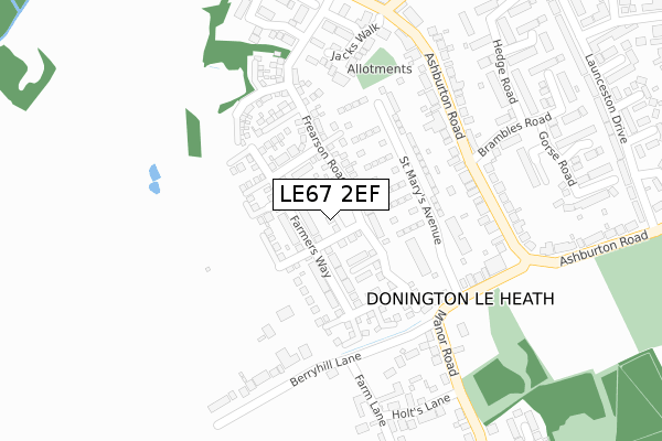
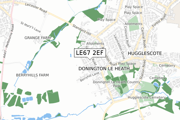
LE67 2EF is located in the Hugglescote St Mary's electoral ward, within the local authority district of North West Leicestershire and the English Parliamentary constituency of North West Leicestershire. The Sub Integrated Care Board (ICB) Location is NHS Leicester, Leicestershire and Rutland ICB - 04V and the police force is Leicestershire. This postcode has been in use since September 2018.


GetTheData
Source: OS Open Zoomstack (Ordnance Survey)
Licence: Open Government Licence (requires attribution)
Attribution: Contains OS data © Crown copyright and database right 2025
Source: Open Postcode Geo
Licence: Open Government Licence (requires attribution)
Attribution: Contains OS data © Crown copyright and database right 2025; Contains Royal Mail data © Royal Mail copyright and database right 2025; Source: Office for National Statistics licensed under the Open Government Licence v.3.0
| Easting | 441813 |
| Northing | 312828 |
| Latitude | 52.711524 |
| Longitude | -1.382513 |
GetTheData
Source: Open Postcode Geo
Licence: Open Government Licence
| Country | England |
| Postcode District | LE67 |
➜ See where LE67 is on a map ➜ Where is Donington le Heath? | |
GetTheData
Source: Land Registry Price Paid Data
Licence: Open Government Licence
| Ward | Hugglescote St Mary's |
| Constituency | North West Leicestershire |
GetTheData
Source: ONS Postcode Database
Licence: Open Government Licence
| Brambles Road (Ashburton Road) | Hugglescote | 240m |
| Brambles Road (Ashburton Road) | Hugglescote | 243m |
| Highfield Street (Ashburton Road) | Hugglescote | 256m |
| Highfield Street (Ashburton Road) | Hugglescote | 285m |
| Launceston Drive (Outside) | Hugglescote | 440m |
GetTheData
Source: NaPTAN
Licence: Open Government Licence
| Percentage of properties with Next Generation Access | 75.0% |
| Percentage of properties with Superfast Broadband | 75.0% |
| Percentage of properties with Ultrafast Broadband | 75.0% |
| Percentage of properties with Full Fibre Broadband | 0.0% |
Superfast Broadband is between 30Mbps and 300Mbps
Ultrafast Broadband is > 300Mbps
| Percentage of properties unable to receive 2Mbps | 0.0% |
| Percentage of properties unable to receive 5Mbps | 0.0% |
| Percentage of properties unable to receive 10Mbps | 0.0% |
| Percentage of properties unable to receive 30Mbps | 25.0% |
GetTheData
Source: Ofcom
Licence: Ofcom Terms of Use (requires attribution)
GetTheData
Source: ONS Postcode Database
Licence: Open Government Licence


➜ Get more ratings from the Food Standards Agency
GetTheData
Source: Food Standards Agency
Licence: FSA terms & conditions
| Last Collection | |||
|---|---|---|---|
| Location | Mon-Fri | Sat | Distance |
| Ashburton Road | 17:15 | 12:15 | 262m |
| Central Road/Fairfield Road | 17:15 | 12:00 | 371m |
| Central Road | 17:00 | 12:00 | 758m |
GetTheData
Source: Dracos
Licence: Creative Commons Attribution-ShareAlike
The below table lists the International Territorial Level (ITL) codes (formerly Nomenclature of Territorial Units for Statistics (NUTS) codes) and Local Administrative Units (LAU) codes for LE67 2EF:
| ITL 1 Code | Name |
|---|---|
| TLF | East Midlands (England) |
| ITL 2 Code | Name |
| TLF2 | Leicestershire, Rutland and Northamptonshire |
| ITL 3 Code | Name |
| TLF22 | Leicestershire CC and Rutland |
| LAU 1 Code | Name |
| E07000134 | North West Leicestershire |
GetTheData
Source: ONS Postcode Directory
Licence: Open Government Licence
The below table lists the Census Output Area (OA), Lower Layer Super Output Area (LSOA), and Middle Layer Super Output Area (MSOA) for LE67 2EF:
| Code | Name | |
|---|---|---|
| OA | E00131728 | |
| LSOA | E01025959 | North West Leicestershire 011D |
| MSOA | E02005407 | North West Leicestershire 011 |
GetTheData
Source: ONS Postcode Directory
Licence: Open Government Licence
| LE67 2HE | Ashburton Road | 217m |
| LE67 2FB | Berry Hill Lane | 233m |
| LE67 2FW | Manor Road | 254m |
| LE67 2HD | Ashburton Road | 259m |
| LE67 2XA | Jacks Walk | 262m |
| LE67 2XG | Ash Tree Road | 286m |
| LE67 2XB | Oak Tree Road | 293m |
| LE67 2FT | Holts Lane | 309m |
| LE67 2GS | The Spinney | 309m |
| LE67 2XE | Snipe Close | 333m |
GetTheData
Source: Open Postcode Geo; Land Registry Price Paid Data
Licence: Open Government Licence