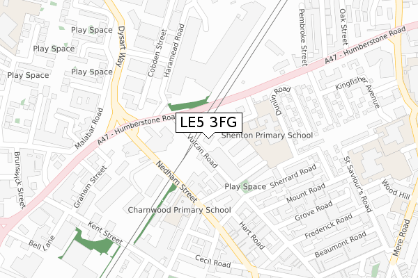
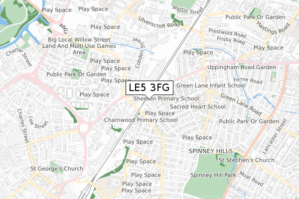
LE5 3FG is located in the North Evington electoral ward, within the unitary authority of Leicester and the English Parliamentary constituency of Leicester East. The Sub Integrated Care Board (ICB) Location is NHS Leicester, Leicestershire and Rutland ICB - 04C and the police force is Leicestershire. This postcode has been in use since June 1981.


GetTheData
Source: OS Open Zoomstack (Ordnance Survey)
Licence: Open Government Licence (requires attribution)
Attribution: Contains OS data © Crown copyright and database right 2025
Source: Open Postcode Geo
Licence: Open Government Licence (requires attribution)
Attribution: Contains OS data © Crown copyright and database right 2025; Contains Royal Mail data © Royal Mail copyright and database right 2025; Source: Office for National Statistics licensed under the Open Government Licence v.3.0
| Easting | 459978 |
| Northing | 305007 |
| Latitude | 52.639520 |
| Longitude | -1.115087 |
GetTheData
Source: Open Postcode Geo
Licence: Open Government Licence
| Country | England |
| Postcode District | LE5 |
➜ See where LE5 is on a map ➜ Where is Leicester? | |
GetTheData
Source: Land Registry Price Paid Data
Licence: Open Government Licence
Elevation or altitude of LE5 3FG as distance above sea level:
| Metres | Feet | |
|---|---|---|
| Elevation | 60m | 197ft |
Elevation is measured from the approximate centre of the postcode, to the nearest point on an OS contour line from OS Terrain 50, which has contour spacing of ten vertical metres.
➜ How high above sea level am I? Find the elevation of your current position using your device's GPS.
GetTheData
Source: Open Postcode Elevation
Licence: Open Government Licence
| Ward | North Evington |
| Constituency | Leicester East |
GetTheData
Source: ONS Postcode Database
Licence: Open Government Licence
| Upper Charnwood Street (Nedham Street) | Highfields | 131m |
| Dysart Way (Humberstone Road) | Leicester | 238m |
| Farringdon Street (Humberstone Road) | Spinney Hills | 264m |
| Cecil Road (Nedham Street) | Highfields | 274m |
| Dysart Way (Humberstone Road) | Leicester | 297m |
| Leicester Station | 1.1km |
GetTheData
Source: NaPTAN
Licence: Open Government Licence
GetTheData
Source: ONS Postcode Database
Licence: Open Government Licence


➜ Get more ratings from the Food Standards Agency
GetTheData
Source: Food Standards Agency
Licence: FSA terms & conditions
| Last Collection | |||
|---|---|---|---|
| Location | Mon-Fri | Sat | Distance |
| Cobden Street | 290m | ||
| Hartington Road | 12:00 | 12:00 | 332m |
| St Matthews Post Office | 17:30 | 12:00 | 356m |
GetTheData
Source: Dracos
Licence: Creative Commons Attribution-ShareAlike
The below table lists the International Territorial Level (ITL) codes (formerly Nomenclature of Territorial Units for Statistics (NUTS) codes) and Local Administrative Units (LAU) codes for LE5 3FG:
| ITL 1 Code | Name |
|---|---|
| TLF | East Midlands (England) |
| ITL 2 Code | Name |
| TLF2 | Leicestershire, Rutland and Northamptonshire |
| ITL 3 Code | Name |
| TLF21 | Leicester |
| LAU 1 Code | Name |
| E06000016 | Leicester |
GetTheData
Source: ONS Postcode Directory
Licence: Open Government Licence
The below table lists the Census Output Area (OA), Lower Layer Super Output Area (LSOA), and Middle Layer Super Output Area (MSOA) for LE5 3FG:
| Code | Name | |
|---|---|---|
| OA | E00068924 | |
| LSOA | E01013654 | Leicester 017A |
| MSOA | E02002843 | Leicester 017 |
GetTheData
Source: ONS Postcode Directory
Licence: Open Government Licence
| LE5 3DQ | Sherrard Road | 167m |
| LE5 3FL | Farnham Street | 179m |
| LE2 0AQ | Maynard Road | 193m |
| LE5 3DR | Sherrard Road | 197m |
| LE5 3DS | Sherrard Road | 220m |
| LE5 3FP | Dunlin Road | 222m |
| LE5 3ED | Vulcan Road | 229m |
| LE5 3DJ | Mount Road | 238m |
| LE5 3FD | Curlew Walk | 243m |
| LE2 0HF | Nedham Street | 245m |
GetTheData
Source: Open Postcode Geo; Land Registry Price Paid Data
Licence: Open Government Licence