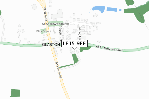
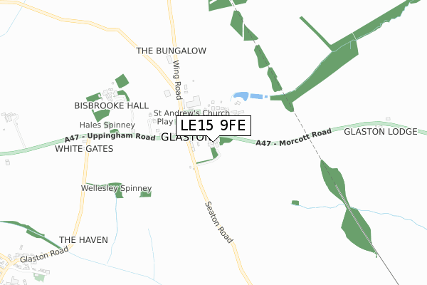
LE15 9FE is located in the Lyddington electoral ward, within the unitary authority of Rutland and the English Parliamentary constituency of Rutland and Melton. The Sub Integrated Care Board (ICB) Location is NHS Leicester, Leicestershire and Rutland ICB - 03W and the police force is Leicestershire. This postcode has been in use since March 2019.


GetTheData
Source: OS Open Zoomstack (Ordnance Survey)
Licence: Open Government Licence (requires attribution)
Attribution: Contains OS data © Crown copyright and database right 2025
Source: Open Postcode Geo
Licence: Open Government Licence (requires attribution)
Attribution: Contains OS data © Crown copyright and database right 2025; Contains Royal Mail data © Royal Mail copyright and database right 2025; Source: Office for National Statistics licensed under the Open Government Licence v.3.0
| Easting | 489760 |
| Northing | 300380 |
| Latitude | 52.593833 |
| Longitude | -0.676332 |
GetTheData
Source: Open Postcode Geo
Licence: Open Government Licence
| Country | England |
| Postcode District | LE15 |
➜ See where LE15 is on a map ➜ Where is Glaston? | |
GetTheData
Source: Land Registry Price Paid Data
Licence: Open Government Licence
| Ward | Lyddington |
| Constituency | Rutland And Melton |
GetTheData
Source: ONS Postcode Database
Licence: Open Government Licence
| Old Pheasant (Main Road) | Glaston | 210m |
| Old Pheasant (Main Street) | Glaston | 251m |
| Telephone Box (Main Street) | Bisbrooke | 1,284m |
| Telephone Box (Main Street) | Bisbrooke | 1,287m |
GetTheData
Source: NaPTAN
Licence: Open Government Licence
GetTheData
Source: ONS Postcode Database
Licence: Open Government Licence

➜ Get more ratings from the Food Standards Agency
GetTheData
Source: Food Standards Agency
Licence: FSA terms & conditions
| Last Collection | |||
|---|---|---|---|
| Location | Mon-Fri | Sat | Distance |
| Morcott Road | 17:00 | 09:15 | 2,603m |
| Uppingham Post Office | 17:30 | 11:00 | 3,187m |
| Main Street | 17:15 | 10:15 | 3,313m |
GetTheData
Source: Dracos
Licence: Creative Commons Attribution-ShareAlike
The below table lists the International Territorial Level (ITL) codes (formerly Nomenclature of Territorial Units for Statistics (NUTS) codes) and Local Administrative Units (LAU) codes for LE15 9FE:
| ITL 1 Code | Name |
|---|---|
| TLF | East Midlands (England) |
| ITL 2 Code | Name |
| TLF2 | Leicestershire, Rutland and Northamptonshire |
| ITL 3 Code | Name |
| TLF22 | Leicestershire CC and Rutland |
| LAU 1 Code | Name |
| E06000017 | Rutland |
GetTheData
Source: ONS Postcode Directory
Licence: Open Government Licence
The below table lists the Census Output Area (OA), Lower Layer Super Output Area (LSOA), and Middle Layer Super Output Area (MSOA) for LE15 9FE:
| Code | Name | |
|---|---|---|
| OA | E00069584 | |
| LSOA | E01013794 | Rutland 005B |
| MSOA | E02002867 | Rutland 005 |
GetTheData
Source: ONS Postcode Directory
Licence: Open Government Licence
| LE15 9BP | Main Road | 118m |
| LE15 9BX | Spring Lane | 123m |
| LE15 9BW | Glaston Park | 123m |
| LE15 9BN | Church Lane | 144m |
| LE15 9BT | Manor Lane | 188m |
| LE15 9ED | Denfield Close | 219m |
| LE15 9ES | Uppingham Road | 1195m |
| LE15 9EN | Glaston Road | 1253m |
| LE15 9EL | Church Lane | 1316m |
| LE15 9EJ | Bottom Lane | 1394m |
GetTheData
Source: Open Postcode Geo; Land Registry Price Paid Data
Licence: Open Government Licence