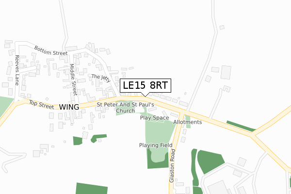
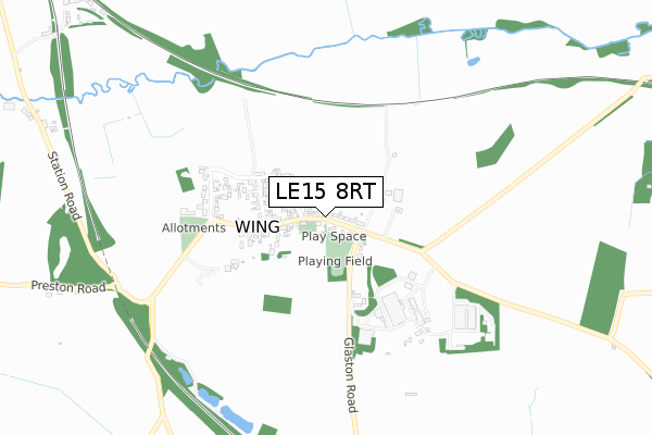
LE15 8RT is located in the Braunston & Martinsthorpe electoral ward, within the unitary authority of Rutland and the English Parliamentary constituency of Rutland and Melton. The Sub Integrated Care Board (ICB) Location is NHS Leicester, Leicestershire and Rutland ICB - 03W and the police force is Leicestershire. This postcode has been in use since January 2020.


GetTheData
Source: OS Open Zoomstack (Ordnance Survey)
Licence: Open Government Licence (requires attribution)
Attribution: Contains OS data © Crown copyright and database right 2025
Source: Open Postcode Geo
Licence: Open Government Licence (requires attribution)
Attribution: Contains OS data © Crown copyright and database right 2025; Contains Royal Mail data © Royal Mail copyright and database right 2025; Source: Office for National Statistics licensed under the Open Government Licence v.3.0
| Easting | 488853 |
| Northing | 302468 |
| Latitude | 52.612748 |
| Longitude | -0.689159 |
GetTheData
Source: Open Postcode Geo
Licence: Open Government Licence
| Country | England |
| Postcode District | LE15 |
➜ See where LE15 is on a map | |
GetTheData
Source: Land Registry Price Paid Data
Licence: Open Government Licence
| Ward | Braunston & Martinsthorpe |
| Constituency | Rutland And Melton |
GetTheData
Source: ONS Postcode Database
Licence: Open Government Licence
| Middle Street (Top Street) | Wing | 668m |
| Middle Street (Top Street) | Wing | 678m |
GetTheData
Source: NaPTAN
Licence: Open Government Licence
GetTheData
Source: ONS Postcode Database
Licence: Open Government Licence


➜ Get more ratings from the Food Standards Agency
GetTheData
Source: Food Standards Agency
Licence: FSA terms & conditions
| Last Collection | |||
|---|---|---|---|
| Location | Mon-Fri | Sat | Distance |
| Morcott Road | 17:00 | 09:15 | 831m |
| Main Street | 17:15 | 10:15 | 1,714m |
| Lyndon | 17:00 | 07:00 | 2,811m |
GetTheData
Source: Dracos
Licence: Creative Commons Attribution-ShareAlike
The below table lists the International Territorial Level (ITL) codes (formerly Nomenclature of Territorial Units for Statistics (NUTS) codes) and Local Administrative Units (LAU) codes for LE15 8RT:
| ITL 1 Code | Name |
|---|---|
| TLF | East Midlands (England) |
| ITL 2 Code | Name |
| TLF2 | Leicestershire, Rutland and Northamptonshire |
| ITL 3 Code | Name |
| TLF22 | Leicestershire CC and Rutland |
| LAU 1 Code | Name |
| E06000017 | Rutland |
GetTheData
Source: ONS Postcode Directory
Licence: Open Government Licence
The below table lists the Census Output Area (OA), Lower Layer Super Output Area (LSOA), and Middle Layer Super Output Area (MSOA) for LE15 8RT:
| Code | Name | |
|---|---|---|
| OA | E00069590 | |
| LSOA | E01013795 | Rutland 005C |
| MSOA | E02002867 | Rutland 005 |
GetTheData
Source: ONS Postcode Directory
Licence: Open Government Licence
| LE15 8SE | Top Street | 623m |
| LE15 8RJ | Westhorpe Close | 644m |
| LE15 8SD | Reeves Lane | 667m |
| LE15 8RZ | Middle Street | 711m |
| LE15 8RX | The Jetty | 727m |
| LE15 8RR | Bottom Street | 777m |
| LE15 8RH | Mill Close | 783m |
| LE15 8RS | Church Street | 792m |
| LE15 8RU | Glaston Road | 853m |
| LE15 8SA | Morcott Road | 855m |
GetTheData
Source: Open Postcode Geo; Land Registry Price Paid Data
Licence: Open Government Licence