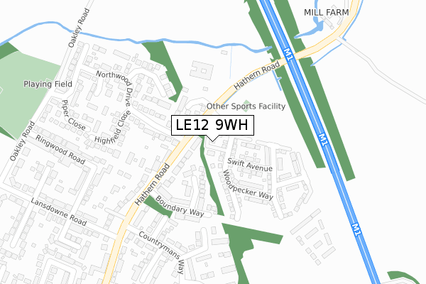
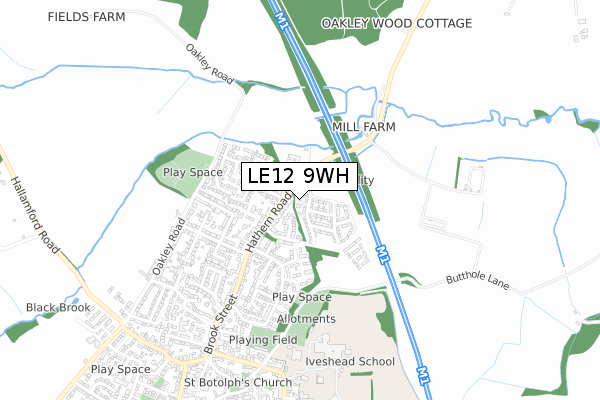
LE12 9WH is located in the Shepshed East electoral ward, within the local authority district of Charnwood and the English Parliamentary constituency of Loughborough. The Sub Integrated Care Board (ICB) Location is NHS Leicester, Leicestershire and Rutland ICB - 04V and the police force is Leicestershire. This postcode has been in use since April 2018.


GetTheData
Source: OS Open Zoomstack (Ordnance Survey)
Licence: Open Government Licence (requires attribution)
Attribution: Contains OS data © Crown copyright and database right 2024
Source: Open Postcode Geo
Licence: Open Government Licence (requires attribution)
Attribution: Contains OS data © Crown copyright and database right 2024; Contains Royal Mail data © Royal Mail copyright and database right 2024; Source: Office for National Statistics licensed under the Open Government Licence v.3.0
| Easting | 448352 |
| Northing | 320468 |
| Latitude | 52.779656 |
| Longitude | -1.284609 |
GetTheData
Source: Open Postcode Geo
Licence: Open Government Licence
| Country | England |
| Postcode District | LE12 |
➜ See where LE12 is on a map ➜ Where is Shepshed? | |
GetTheData
Source: Land Registry Price Paid Data
Licence: Open Government Licence
| Ward | Shepshed East |
| Constituency | Loughborough |
GetTheData
Source: ONS Postcode Database
Licence: Open Government Licence
| Boundary Way (Hathern Road) | Shepshed | 139m |
| Highfield Close (Northwood Drive) | Shepshed | 170m |
| Woodlands Drive (Lansdowne Road) | Shepshed | 333m |
| Piper Close (Field Avenue) | Shepshed | 346m |
| Countrymans Way (Brook Street) | Shepshed | 378m |
GetTheData
Source: NaPTAN
Licence: Open Government Licence
| Percentage of properties with Next Generation Access | 100.0% |
| Percentage of properties with Superfast Broadband | 100.0% |
| Percentage of properties with Ultrafast Broadband | 100.0% |
| Percentage of properties with Full Fibre Broadband | 100.0% |
Superfast Broadband is between 30Mbps and 300Mbps
Ultrafast Broadband is > 300Mbps
| Percentage of properties unable to receive 2Mbps | 0.0% |
| Percentage of properties unable to receive 5Mbps | 0.0% |
| Percentage of properties unable to receive 10Mbps | 0.0% |
| Percentage of properties unable to receive 30Mbps | 0.0% |
GetTheData
Source: Ofcom
Licence: Ofcom Terms of Use (requires attribution)
GetTheData
Source: ONS Postcode Database
Licence: Open Government Licence


➜ Get more ratings from the Food Standards Agency
GetTheData
Source: Food Standards Agency
Licence: FSA terms & conditions
| Last Collection | |||
|---|---|---|---|
| Location | Mon-Fri | Sat | Distance |
| Radnor Drive | 17:00 | 08:15 | 453m |
| Loughborough Road | 17:00 | 08:15 | 737m |
| Shepshed Post Office | 17:30 | 10:45 | 749m |
GetTheData
Source: Dracos
Licence: Creative Commons Attribution-ShareAlike
The below table lists the International Territorial Level (ITL) codes (formerly Nomenclature of Territorial Units for Statistics (NUTS) codes) and Local Administrative Units (LAU) codes for LE12 9WH:
| ITL 1 Code | Name |
|---|---|
| TLF | East Midlands (England) |
| ITL 2 Code | Name |
| TLF2 | Leicestershire, Rutland and Northamptonshire |
| ITL 3 Code | Name |
| TLF22 | Leicestershire CC and Rutland |
| LAU 1 Code | Name |
| E07000130 | Charnwood |
GetTheData
Source: ONS Postcode Directory
Licence: Open Government Licence
The below table lists the Census Output Area (OA), Lower Layer Super Output Area (LSOA), and Middle Layer Super Output Area (MSOA) for LE12 9WH:
| Code | Name | |
|---|---|---|
| OA | E00130614 | |
| LSOA | E01025743 | Charnwood 006D |
| MSOA | E02005350 | Charnwood 006 |
GetTheData
Source: ONS Postcode Directory
Licence: Open Government Licence
| LE12 9UA | Mill Close | 107m |
| LE12 9QU | Wortley Close | 118m |
| LE12 9RP | Hathern Road | 146m |
| LE12 9TZ | Boundary Way | 158m |
| LE12 9SL | Northwood Drive | 202m |
| LE12 9SN | Nursery Close | 229m |
| LE12 9SE | Coachmans Court | 235m |
| LE12 9RD | Woodmans Way | 243m |
| LE12 9SW | Highfields Close | 245m |
| LE12 9SD | Woodlands Drive | 294m |
GetTheData
Source: Open Postcode Geo; Land Registry Price Paid Data
Licence: Open Government Licence