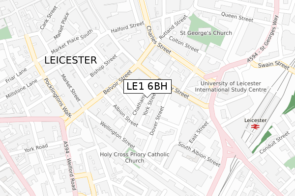
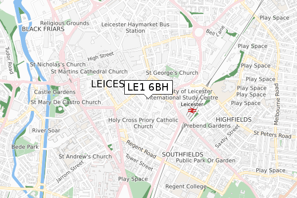
LE1 6BH is located in the Castle electoral ward, within the unitary authority of Leicester and the English Parliamentary constituency of Leicester South. The Sub Integrated Care Board (ICB) Location is NHS Leicester, Leicestershire and Rutland ICB - 04C and the police force is Leicestershire. This postcode has been in use since October 2019.


GetTheData
Source: OS Open Zoomstack (Ordnance Survey)
Licence: Open Government Licence (requires attribution)
Attribution: Contains OS data © Crown copyright and database right 2025
Source: Open Postcode Geo
Licence: Open Government Licence (requires attribution)
Attribution: Contains OS data © Crown copyright and database right 2025; Contains Royal Mail data © Royal Mail copyright and database right 2025; Source: Office for National Statistics licensed under the Open Government Licence v.3.0
| Easting | 459004 |
| Northing | 304207 |
| Latitude | 52.632436 |
| Longitude | -1.129621 |
GetTheData
Source: Open Postcode Geo
Licence: Open Government Licence
| Country | England |
| Postcode District | LE1 |
➜ See where LE1 is on a map ➜ Where is Leicester? | |
GetTheData
Source: Land Registry Price Paid Data
Licence: Open Government Licence
| Ward | Castle |
| Constituency | Leicester South |
GetTheData
Source: ONS Postcode Database
Licence: Open Government Licence
| Rutland Street | Leicester | 153m |
| Charles Street | Leicester | 166m |
| Charles Street | Leicester | 184m |
| Charles Street | Leicester | 185m |
| Charles Street | Leicester | 206m |
| Leicester Station | 0.3km |
GetTheData
Source: NaPTAN
Licence: Open Government Licence
GetTheData
Source: ONS Postcode Database
Licence: Open Government Licence


➜ Get more ratings from the Food Standards Agency
GetTheData
Source: Food Standards Agency
Licence: FSA terms & conditions
| Last Collection | |||
|---|---|---|---|
| Location | Mon-Fri | Sat | Distance |
| Wellington Street | 18:30 | 12:00 | 168m |
| Halford Street | 18:30 | 12:00 | 265m |
| Campbell Street | 19:00 | 12:00 | 296m |
GetTheData
Source: Dracos
Licence: Creative Commons Attribution-ShareAlike
The below table lists the International Territorial Level (ITL) codes (formerly Nomenclature of Territorial Units for Statistics (NUTS) codes) and Local Administrative Units (LAU) codes for LE1 6BH:
| ITL 1 Code | Name |
|---|---|
| TLF | East Midlands (England) |
| ITL 2 Code | Name |
| TLF2 | Leicestershire, Rutland and Northamptonshire |
| ITL 3 Code | Name |
| TLF21 | Leicester |
| LAU 1 Code | Name |
| E06000016 | Leicester |
GetTheData
Source: ONS Postcode Directory
Licence: Open Government Licence
The below table lists the Census Output Area (OA), Lower Layer Super Output Area (LSOA), and Middle Layer Super Output Area (MSOA) for LE1 6BH:
| Code | Name | |
|---|---|---|
| OA | E00068905 | |
| LSOA | E01032873 | Leicester 041D |
| MSOA | E02006851 | Leicester 041 |
GetTheData
Source: ONS Postcode Directory
Licence: Open Government Licence
| LE1 6NU | York Street | 34m |
| LE1 6PB | Chatham Street | 87m |
| LE1 6PW | Dover Street | 88m |
| LE1 6QH | Belvoir Street | 91m |
| LE1 6GB | Albion Street | 92m |
| LE1 1DH | Granby Street | 102m |
| LE1 6GD | Albion Street | 115m |
| LE1 1DJ | Granby Street | 115m |
| LE1 6GF | Albion Street | 120m |
| LE1 6SL | Belvoir Street | 127m |
GetTheData
Source: Open Postcode Geo; Land Registry Price Paid Data
Licence: Open Government Licence