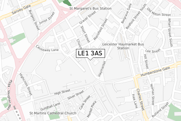
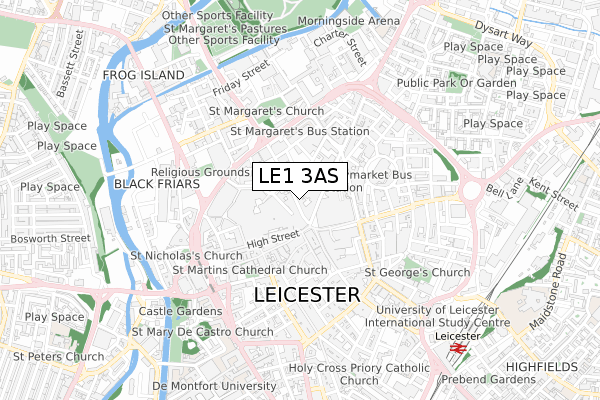
LE1 3AS is located in the Castle electoral ward, within the unitary authority of Leicester and the English Parliamentary constituency of Leicester South. The Sub Integrated Care Board (ICB) Location is NHS Leicester, Leicestershire and Rutland ICB - 04C and the police force is Leicestershire. This postcode has been in use since July 2018.


GetTheData
Source: OS Open Zoomstack (Ordnance Survey)
Licence: Open Government Licence (requires attribution)
Attribution: Contains OS data © Crown copyright and database right 2025
Source: Open Postcode Geo
Licence: Open Government Licence (requires attribution)
Attribution: Contains OS data © Crown copyright and database right 2025; Contains Royal Mail data © Royal Mail copyright and database right 2025; Source: Office for National Statistics licensed under the Open Government Licence v.3.0
| Easting | 458713 |
| Northing | 304730 |
| Latitude | 52.637168 |
| Longitude | -1.133828 |
GetTheData
Source: Open Postcode Geo
Licence: Open Government Licence
| Country | England |
| Postcode District | LE1 |
➜ See where LE1 is on a map ➜ Where is Leicester? | |
GetTheData
Source: Land Registry Price Paid Data
Licence: Open Government Licence
| Ward | Castle |
| Constituency | Leicester South |
GetTheData
Source: ONS Postcode Database
Licence: Open Government Licence
| Church Gate | Leicester | 25m |
| St Peter's Lane | Leicester | 81m |
| Haymarket (Belgrave Gate) | Leicester | 84m |
| Haymarket | Leicester | 87m |
| Haymarket | Leicester | 88m |
| Leicester Station | 0.9km |
GetTheData
Source: NaPTAN
Licence: Open Government Licence
| Percentage of properties with Next Generation Access | 100.0% |
| Percentage of properties with Superfast Broadband | 100.0% |
| Percentage of properties with Ultrafast Broadband | 0.0% |
| Percentage of properties with Full Fibre Broadband | 0.0% |
Superfast Broadband is between 30Mbps and 300Mbps
Ultrafast Broadband is > 300Mbps
| Percentage of properties unable to receive 2Mbps | 0.0% |
| Percentage of properties unable to receive 5Mbps | 0.0% |
| Percentage of properties unable to receive 10Mbps | 0.0% |
| Percentage of properties unable to receive 30Mbps | 0.0% |
GetTheData
Source: Ofcom
Licence: Ofcom Terms of Use (requires attribution)
GetTheData
Source: ONS Postcode Database
Licence: Open Government Licence


➜ Get more ratings from the Food Standards Agency
GetTheData
Source: Food Standards Agency
Licence: FSA terms & conditions
| Last Collection | |||
|---|---|---|---|
| Location | Mon-Fri | Sat | Distance |
| Haymarket Theatre | 18:30 | 12:00 | 107m |
| East Bond Street | 18:30 | 12:00 | 185m |
| Gravel Street | 18:30 | 12:00 | 220m |
GetTheData
Source: Dracos
Licence: Creative Commons Attribution-ShareAlike
The below table lists the International Territorial Level (ITL) codes (formerly Nomenclature of Territorial Units for Statistics (NUTS) codes) and Local Administrative Units (LAU) codes for LE1 3AS:
| ITL 1 Code | Name |
|---|---|
| TLF | East Midlands (England) |
| ITL 2 Code | Name |
| TLF2 | Leicestershire, Rutland and Northamptonshire |
| ITL 3 Code | Name |
| TLF21 | Leicester |
| LAU 1 Code | Name |
| E06000016 | Leicester |
GetTheData
Source: ONS Postcode Directory
Licence: Open Government Licence
The below table lists the Census Output Area (OA), Lower Layer Super Output Area (LSOA), and Middle Layer Super Output Area (MSOA) for LE1 3AS:
| Code | Name | |
|---|---|---|
| OA | E00169453 | |
| LSOA | E01032867 | Leicester 041A |
| MSOA | E02006851 | Leicester 041 |
GetTheData
Source: ONS Postcode Directory
Licence: Open Government Licence
| LE1 3AL | Church Gate | 4m |
| LE1 4AJ | Church Gate | 37m |
| LE1 4RQ | New Bond Street | 49m |
| LE1 4QA | Butt Close Lane | 150m |
| LE1 4SX | East Bond Street | 156m |
| LE1 4FP | High Street | 192m |
| LE1 1WT | Fox Lane | 192m |
| LE1 3DL | Mansfield Street | 193m |
| LE1 3GQ | Belgrave Gate | 214m |
| LE1 5AD | Gallowtree Gate | 227m |
GetTheData
Source: Open Postcode Geo; Land Registry Price Paid Data
Licence: Open Government Licence