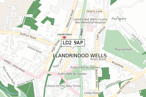
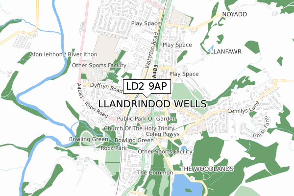
LD2 9AP is located in the Llandrindod South electoral ward, within the unitary authority of Powys and the Welsh Parliamentary constituency of Brecon and Radnorshire. The Local Health Board is Powys Teaching and the police force is Dyfed-Powys. This postcode has been in use since January 2020.


GetTheData
Source: OS Open Zoomstack (Ordnance Survey)
Licence: Open Government Licence (requires attribution)
Attribution: Contains OS data © Crown copyright and database right 2024
Source: Open Postcode Geo
Licence: Open Government Licence (requires attribution)
Attribution: Contains OS data © Crown copyright and database right 2024; Contains Royal Mail data © Royal Mail copyright and database right 2024; Source: Office for National Statistics licensed under the Open Government Licence v.3.0
| Easting | 305975 |
| Northing | 261281 |
| Latitude | 52.241666 |
| Longitude | -3.378464 |
GetTheData
Source: Open Postcode Geo
Licence: Open Government Licence
| Country | Wales |
| Postcode District | LD2 |
➜ See where LD2 is on a map ➜ Where is Llandrindod Wells? | |
GetTheData
Source: Land Registry Price Paid Data
Licence: Open Government Licence
| Ward | Llandrindod South |
| Constituency | Brecon And Radnorshire |
GetTheData
Source: ONS Postcode Database
Licence: Open Government Licence
| Post Office (Station Crescent) | Llandrindod Wells | 34m |
| Tremont Road | Llandrindod Wells | 41m |
| Tremont Road | Llandrindod Wells | 49m |
| Station (Station Crescent) | Llandrindod Wells | 65m |
| Station (Station Crescent) | Llandrindod Wells | 77m |
| Llandrindod Station | 0.1km |
| Pen-y-Bont Station | 5.3km |
GetTheData
Source: NaPTAN
Licence: Open Government Licence
GetTheData
Source: ONS Postcode Database
Licence: Open Government Licence


➜ Get more ratings from the Food Standards Agency
GetTheData
Source: Food Standards Agency
Licence: FSA terms & conditions
| Last Collection | |||
|---|---|---|---|
| Location | Mon-Fri | Sat | Distance |
| Station Crescent Post Office | 19:00 | 13:00 | 21m |
| Lant Avenue | 18:15 | 12:00 | 304m |
| Gwalia Square | 17:30 | 12:00 | 349m |
GetTheData
Source: Dracos
Licence: Creative Commons Attribution-ShareAlike
The below table lists the International Territorial Level (ITL) codes (formerly Nomenclature of Territorial Units for Statistics (NUTS) codes) and Local Administrative Units (LAU) codes for LD2 9AP:
| ITL 1 Code | Name |
|---|---|
| TLL | Wales |
| ITL 2 Code | Name |
| TLL2 | East Wales |
| ITL 3 Code | Name |
| TLL24 | Powys |
| LAU 1 Code | Name |
| W06000023 | Powys |
GetTheData
Source: ONS Postcode Directory
Licence: Open Government Licence
The below table lists the Census Output Area (OA), Lower Layer Super Output Area (LSOA), and Middle Layer Super Output Area (MSOA) for LD2 9AP:
| Code | Name | |
|---|---|---|
| OA | W00002420 | |
| LSOA | W01000454 | Powys 013A |
| MSOA | W02000109 | Powys 013 |
GetTheData
Source: ONS Postcode Directory
Licence: Open Government Licence
| LD1 5BB | Station Crescent | 12m |
| LD1 5BD | Station Crescent | 54m |
| LD1 5HF | Temple Street | 85m |
| LD1 5DG | Middleton Street | 99m |
| LD1 5DL | Temple Street | 105m |
| LD1 5HS | Craig Road | 120m |
| LD1 5ET | Middleton Street | 123m |
| LD1 5DH | Middleton Street | 126m |
| LD1 5EE | Beaufort Road | 167m |
| LD1 6BG | High Street | 173m |
GetTheData
Source: Open Postcode Geo; Land Registry Price Paid Data
Licence: Open Government Licence