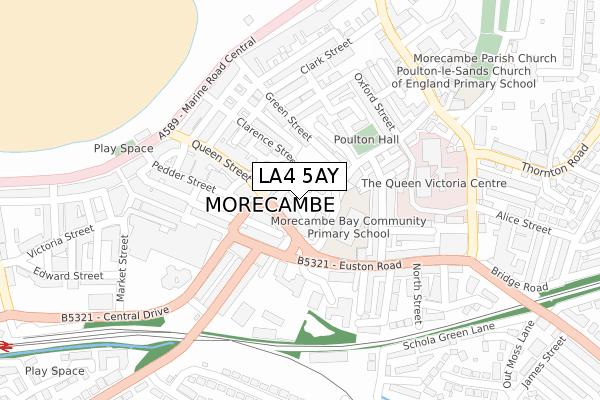
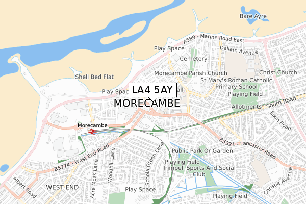
LA4 5AY is located in the Poulton electoral ward, within the local authority district of Lancaster and the English Parliamentary constituency of Morecambe and Lunesdale. The Sub Integrated Care Board (ICB) Location is NHS Lancashire and South Cumbria ICB - 01K and the police force is Lancashire. This postcode has been in use since February 2021.


GetTheData
Source: OS Open Zoomstack (Ordnance Survey)
Licence: Open Government Licence (requires attribution)
Attribution: Contains OS data © Crown copyright and database right 2024
Source: Open Postcode Geo
Licence: Open Government Licence (requires attribution)
Attribution: Contains OS data © Crown copyright and database right 2024; Contains Royal Mail data © Royal Mail copyright and database right 2024; Source: Office for National Statistics licensed under the Open Government Licence v.3.0
| Easting | 343674 |
| Northing | 464398 |
| Latitude | 54.072428 |
| Longitude | -2.862259 |
GetTheData
Source: Open Postcode Geo
Licence: Open Government Licence
| Country | England |
| Postcode District | LA4 |
➜ See where LA4 is on a map ➜ Where is Morecambe? | |
GetTheData
Source: Land Registry Price Paid Data
Licence: Open Government Licence
| Ward | Poulton |
| Constituency | Morecambe And Lunesdale |
GetTheData
Source: ONS Postcode Database
Licence: Open Government Licence
| Euston Road School (Queen Street) | Morecambe | 116m |
| Euston Road School (Queen Street) | Morecambe | 130m |
| Euston Road School (Euston Road) | Morecambe | 132m |
| Euston Grove | Morecambe | 143m |
| Euston Road School (Euston Road) | Morecambe | 146m |
| Morecambe Station | 0.5km |
| Bare Lane Station | 1.8km |
| Lancaster Station | 4.5km |
GetTheData
Source: NaPTAN
Licence: Open Government Licence
GetTheData
Source: ONS Postcode Database
Licence: Open Government Licence


➜ Get more ratings from the Food Standards Agency
GetTheData
Source: Food Standards Agency
Licence: FSA terms & conditions
| Last Collection | |||
|---|---|---|---|
| Location | Mon-Fri | Sat | Distance |
| Sparrow Park | 16:30 | 12:00 | 89m |
| Poulton Road | 16:30 | 11:45 | 129m |
| Promenade Central | 16:45 | 11:45 | 235m |
GetTheData
Source: Dracos
Licence: Creative Commons Attribution-ShareAlike
The below table lists the International Territorial Level (ITL) codes (formerly Nomenclature of Territorial Units for Statistics (NUTS) codes) and Local Administrative Units (LAU) codes for LA4 5AY:
| ITL 1 Code | Name |
|---|---|
| TLD | North West (England) |
| ITL 2 Code | Name |
| TLD4 | Lancashire |
| ITL 3 Code | Name |
| TLD44 | Lancaster and Wyre |
| LAU 1 Code | Name |
| E07000121 | Lancaster |
GetTheData
Source: ONS Postcode Directory
Licence: Open Government Licence
The below table lists the Census Output Area (OA), Lower Layer Super Output Area (LSOA), and Middle Layer Super Output Area (MSOA) for LA4 5AY:
| Code | Name | |
|---|---|---|
| OA | E00127573 | |
| LSOA | E01025139 | Lancaster 006D |
| MSOA | E02005226 | Lancaster 006 |
GetTheData
Source: ONS Postcode Directory
Licence: Open Government Licence
| LA4 5ES | Lines Street | 20m |
| LA4 5EY | Clarence Street | 36m |
| LA4 5EN | Queen Street | 59m |
| LA4 5BW | Poulton Road | 61m |
| LA4 5JL | Station Road | 63m |
| LA4 5HD | Deansgate | 73m |
| LA4 5LD | Euston Road | 92m |
| LA4 5HP | Green Street | 99m |
| LA4 5HA | Poulton Road | 105m |
| LA4 5JY | Euston Road | 124m |
GetTheData
Source: Open Postcode Geo; Land Registry Price Paid Data
Licence: Open Government Licence