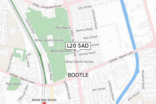
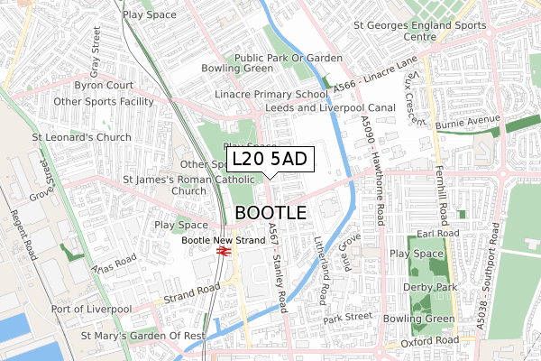
L20 5AD is located in the Derby electoral ward, within the metropolitan district of Sefton and the English Parliamentary constituency of Bootle. The Sub Integrated Care Board (ICB) Location is NHS Cheshire and Merseyside ICB - 01T and the police force is Merseyside. This postcode has been in use since April 2020.


GetTheData
Source: OS Open Zoomstack (Ordnance Survey)
Licence: Open Government Licence (requires attribution)
Attribution: Contains OS data © Crown copyright and database right 2025
Source: Open Postcode Geo
Licence: Open Government Licence (requires attribution)
Attribution: Contains OS data © Crown copyright and database right 2025; Contains Royal Mail data © Royal Mail copyright and database right 2025; Source: Office for National Statistics licensed under the Open Government Licence v.3.0
| Easting | 334264 |
| Northing | 395910 |
| Latitude | 53.455840 |
| Longitude | -2.991430 |
GetTheData
Source: Open Postcode Geo
Licence: Open Government Licence
| Country | England |
| Postcode District | L20 |
➜ See where L20 is on a map | |
GetTheData
Source: Land Registry Price Paid Data
Licence: Open Government Licence
| Ward | Derby |
| Constituency | Bootle |
GetTheData
Source: ONS Postcode Database
Licence: Open Government Licence
| Hornby Road (Stanley Road) | Bootle | 47m |
| Marsh Lane (Stanley Road) | Bootle | 60m |
| Stanley Road (Marsh Lane) | Bootle | 132m |
| Marsh Lane (Stanley Road) | Bootle | 195m |
| Knowsley Road (Stanley Road) | Bootle | 202m |
| Bootle New Strand Station | 0.3km |
| Bootle Oriel Road Station | 1.1km |
| Seaforth & Litherland Station | 1.5km |
GetTheData
Source: NaPTAN
Licence: Open Government Licence
GetTheData
Source: ONS Postcode Database
Licence: Open Government Licence


➜ Get more ratings from the Food Standards Agency
GetTheData
Source: Food Standards Agency
Licence: FSA terms & conditions
| Last Collection | |||
|---|---|---|---|
| Location | Mon-Fri | Sat | Distance |
| Litherland Road | 17:15 | 12:00 | 537m |
| Hawthorne Road | 17:00 | 12:00 | 562m |
| Bootle New Strand Post Office | 18:00 | 12:00 | 562m |
GetTheData
Source: Dracos
Licence: Creative Commons Attribution-ShareAlike
The below table lists the International Territorial Level (ITL) codes (formerly Nomenclature of Territorial Units for Statistics (NUTS) codes) and Local Administrative Units (LAU) codes for L20 5AD:
| ITL 1 Code | Name |
|---|---|
| TLD | North West (England) |
| ITL 2 Code | Name |
| TLD7 | Merseyside |
| ITL 3 Code | Name |
| TLD73 | Sefton |
| LAU 1 Code | Name |
| E08000014 | Sefton |
GetTheData
Source: ONS Postcode Directory
Licence: Open Government Licence
The below table lists the Census Output Area (OA), Lower Layer Super Output Area (LSOA), and Middle Layer Super Output Area (MSOA) for L20 5AD:
| Code | Name | |
|---|---|---|
| OA | E00035291 | |
| LSOA | E01006964 | Sefton 036A |
| MSOA | E02001464 | Sefton 036 |
GetTheData
Source: ONS Postcode Directory
Licence: Open Government Licence
| L20 5AP | Thornton Road | 56m |
| L20 5AN | Thornton Road | 70m |
| L20 5AE | Stanley Road | 73m |
| L20 5AB | Stanley Road | 74m |
| L20 5HF | Stanley Road | 84m |
| L20 5BJ | Hornby Road | 84m |
| L20 5AR | Thornton Road | 94m |
| L20 5BH | Roby Street | 94m |
| L20 5BL | June Street | 103m |
| L20 5BE | May Street | 112m |
GetTheData
Source: Open Postcode Geo; Land Registry Price Paid Data
Licence: Open Government Licence