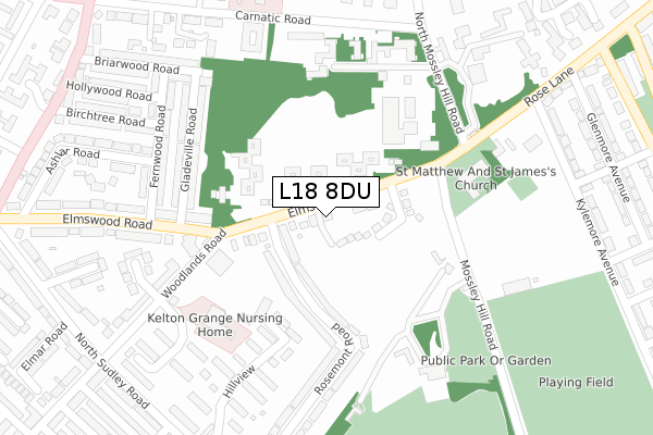
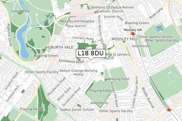
L18 8DU is located in the Mossley Hill electoral ward, within the metropolitan district of Liverpool and the English Parliamentary constituency of Liverpool, Riverside. The Sub Integrated Care Board (ICB) Location is NHS Cheshire and Merseyside ICB - 99A and the police force is Merseyside. This postcode has been in use since January 2020.


GetTheData
Source: OS Open Zoomstack (Ordnance Survey)
Licence: Open Government Licence (requires attribution)
Attribution: Contains OS data © Crown copyright and database right 2025
Source: Open Postcode Geo
Licence: Open Government Licence (requires attribution)
Attribution: Contains OS data © Crown copyright and database right 2025; Contains Royal Mail data © Royal Mail copyright and database right 2025; Source: Office for National Statistics licensed under the Open Government Licence v.3.0
| Easting | 338675 |
| Northing | 386947 |
| Latitude | 53.375819 |
| Longitude | -2.923265 |
GetTheData
Source: Open Postcode Geo
Licence: Open Government Licence
| Country | England |
| Postcode District | L18 |
➜ See where L18 is on a map ➜ Where is Liverpool? | |
GetTheData
Source: Land Registry Price Paid Data
Licence: Open Government Licence
| Ward | Mossley Hill |
| Constituency | Liverpool, Riverside |
GetTheData
Source: ONS Postcode Database
Licence: Open Government Licence
| North Mossley Hill Road (Elmswood Road) | Mossley Hill | 120m |
| Mossley Hill Road (Elmswood Road) | Mossley Hill | 132m |
| Rosemont Road (Elmswood Road) | Mossley Hill | 179m |
| Gladeville Road (Elmswood Road) | Aigburth | 241m |
| Carnatic Road (Mossley Hill Road) | Mossley Hill | 309m |
| Mossley Hill Station | 0.6km |
| Aigburth Station | 1.3km |
| West Allerton Station | 1.3km |
GetTheData
Source: NaPTAN
Licence: Open Government Licence
GetTheData
Source: ONS Postcode Database
Licence: Open Government Licence


➜ Get more ratings from the Food Standards Agency
GetTheData
Source: Food Standards Agency
Licence: FSA terms & conditions
| Last Collection | |||
|---|---|---|---|
| Location | Mon-Fri | Sat | Distance |
| Carnatic Halls | 17:00 | 12:00 | 70m |
| Rosemount Road | 17:30 | 12:00 | 134m |
| Mossley Hill Church | 17:00 | 12:00 | 212m |
GetTheData
Source: Dracos
Licence: Creative Commons Attribution-ShareAlike
The below table lists the International Territorial Level (ITL) codes (formerly Nomenclature of Territorial Units for Statistics (NUTS) codes) and Local Administrative Units (LAU) codes for L18 8DU:
| ITL 1 Code | Name |
|---|---|
| TLD | North West (England) |
| ITL 2 Code | Name |
| TLD7 | Merseyside |
| ITL 3 Code | Name |
| TLD72 | Liverpool |
| LAU 1 Code | Name |
| E08000012 | Liverpool |
GetTheData
Source: ONS Postcode Directory
Licence: Open Government Licence
The below table lists the Census Output Area (OA), Lower Layer Super Output Area (LSOA), and Middle Layer Super Output Area (MSOA) for L18 8DU:
| Code | Name | |
|---|---|---|
| OA | E00176666 | |
| LSOA | E01006524 | Liverpool 048B |
| MSOA | E02001394 | Liverpool 048 |
GetTheData
Source: ONS Postcode Directory
Licence: Open Government Licence
| L17 6DB | Elmswood Road | 111m |
| L17 6DA | Rosemont Road | 145m |
| L17 6BY | Rosemont Road | 170m |
| L18 8DB | Rose Lane | 235m |
| L17 6DF | Gladeville Road | 264m |
| L17 6DE | Gladeville Road | 284m |
| L17 6DQ | Fernwood Road | 307m |
| L18 8BL | North Mossley Hill Road | 309m |
| L17 6BX | Rosemont Road | 324m |
| L17 6BZ | Rosemont Road | 325m |
GetTheData
Source: Open Postcode Geo; Land Registry Price Paid Data
Licence: Open Government Licence