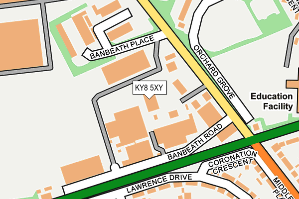
KY8 5XY is located in the Leven, Kennoway and Largo electoral ward, within the council area of Fife and the Scottish Parliamentary constituency of Glenrothes. The Community Health Partnership is Kirkcaldy & Levenmouth Community Health Partnership and the police force is Scotland. This postcode has been in use since June 2000.


GetTheData
Source: OS OpenMap – Local (Ordnance Survey)
Source: OS VectorMap District (Ordnance Survey)
Licence: Open Government Licence (requires attribution)
| Easting | 337161 |
| Northing | 701414 |
| Latitude | 56.201161 |
| Longitude | -3.014401 |
GetTheData
Source: Open Postcode Geo
Licence: Open Government Licence
| Country | Scotland |
| Postcode District | KY8 |
➜ See where KY8 is on a map ➜ Where is Leven? | |
GetTheData
Source: Land Registry Price Paid Data
Licence: Open Government Licence
| Ward | Leven, Kennoway And Largo |
| Constituency | Glenrothes |
GetTheData
Source: ONS Postcode Database
Licence: Open Government Licence
| Banbeath Road (Kennoway Rd) | Leven | 134m |
| Banbeath Road (Kennoway Rd) | Leven | 176m |
| Broom Access (Kennoway Road) | Broom | 235m |
| St Agathas P Sch (Windygates Road) | Leven | 292m |
| Broom Access (Kennoway Road) | Broom | 298m |
GetTheData
Source: NaPTAN
Licence: Open Government Licence
GetTheData
Source: ONS Postcode Database
Licence: Open Government Licence


➜ Get more ratings from the Food Standards Agency
GetTheData
Source: Food Standards Agency
Licence: FSA terms & conditions
| Last Collection | |||
|---|---|---|---|
| Location | Mon-Fri | Sat | Distance |
| Kirke Park | 16:30 | 11:15 | 1,047m |
| Lundin Links Post Office | 16:45 | 12:00 | 4,125m |
| Smithygreen | 15:30 | 11:15 | 4,147m |
GetTheData
Source: Dracos
Licence: Creative Commons Attribution-ShareAlike
The below table lists the International Territorial Level (ITL) codes (formerly Nomenclature of Territorial Units for Statistics (NUTS) codes) and Local Administrative Units (LAU) codes for KY8 5XY:
| ITL 1 Code | Name |
|---|---|
| TLM | Scotland |
| ITL 2 Code | Name |
| TLM7 | Eastern Scotland |
| ITL 3 Code | Name |
| TLM72 | Clackmannanshire and Fife |
| LAU 1 Code | Name |
| S30000042 | Fife |
GetTheData
Source: ONS Postcode Directory
Licence: Open Government Licence
The below table lists the Census Output Area (OA), Lower Layer Super Output Area (LSOA), and Middle Layer Super Output Area (MSOA) for KY8 5XY:
| Code | Name | |
|---|---|---|
| OA | S00110515 | |
| LSOA | S01009644 | Leven Mountfleurie West |
| MSOA | S02001818 | Leven West |
GetTheData
Source: ONS Postcode Directory
Licence: Open Government Licence