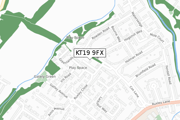
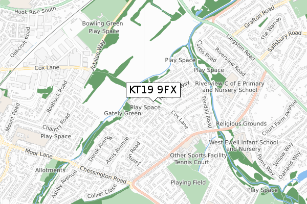
KT19 9FX is located in the Ruxley electoral ward, within the local authority district of Epsom and Ewell and the English Parliamentary constituency of Epsom and Ewell. The Sub Integrated Care Board (ICB) Location is NHS Surrey Heartlands ICB - 92A and the police force is Surrey. This postcode has been in use since December 2019.


GetTheData
Source: OS Open Zoomstack (Ordnance Survey)
Licence: Open Government Licence (requires attribution)
Attribution: Contains OS data © Crown copyright and database right 2025
Source: Open Postcode Geo
Licence: Open Government Licence (requires attribution)
Attribution: Contains OS data © Crown copyright and database right 2025; Contains Royal Mail data © Royal Mail copyright and database right 2025; Source: Office for National Statistics licensed under the Open Government Licence v.3.0
| Easting | 519946 |
| Northing | 164442 |
| Latitude | 51.366383 |
| Longitude | -0.278379 |
GetTheData
Source: Open Postcode Geo
Licence: Open Government Licence
| Country | England |
| Postcode District | KT19 |
➜ See where KT19 is on a map ➜ Where is Ewell? | |
GetTheData
Source: Land Registry Price Paid Data
Licence: Open Government Licence
| Ward | Ruxley |
| Constituency | Epsom And Ewell |
GetTheData
Source: ONS Postcode Database
Licence: Open Government Licence
| Holman Road (Cox Lane) | West Ewell | 108m |
| Holman Road (Cox Lane) | West Ewell | 128m |
| Hogsmill Way | West Ewell | 272m |
| Cox Lane | West Ewell | 326m |
| Cox Lane (Ruxley Lane) | West Ewell | 416m |
| Tolworth Station | 1.2km |
| Chessington North Station | 1.6km |
| Stoneleigh Station | 2.1km |
GetTheData
Source: NaPTAN
Licence: Open Government Licence
GetTheData
Source: ONS Postcode Database
Licence: Open Government Licence


➜ Get more ratings from the Food Standards Agency
GetTheData
Source: Food Standards Agency
Licence: FSA terms & conditions
| Last Collection | |||
|---|---|---|---|
| Location | Mon-Fri | Sat | Distance |
| Cox Lane | 17:30 | 12:30 | 69m |
| Watersedge | 17:30 | 12:30 | 341m |
| 166-170 Ruxley Lane | 17:15 | 12:30 | 443m |
GetTheData
Source: Dracos
Licence: Creative Commons Attribution-ShareAlike
The below table lists the International Territorial Level (ITL) codes (formerly Nomenclature of Territorial Units for Statistics (NUTS) codes) and Local Administrative Units (LAU) codes for KT19 9FX:
| ITL 1 Code | Name |
|---|---|
| TLJ | South East (England) |
| ITL 2 Code | Name |
| TLJ2 | Surrey, East and West Sussex |
| ITL 3 Code | Name |
| TLJ26 | East Surrey |
| LAU 1 Code | Name |
| E07000208 | Epsom and Ewell |
GetTheData
Source: ONS Postcode Directory
Licence: Open Government Licence
The below table lists the Census Output Area (OA), Lower Layer Super Output Area (LSOA), and Middle Layer Super Output Area (MSOA) for KT19 9FX:
| Code | Name | |
|---|---|---|
| OA | E00155068 | |
| LSOA | E01030400 | Epsom and Ewell 002C |
| MSOA | E02006336 | Epsom and Ewell 002 |
GetTheData
Source: ONS Postcode Directory
Licence: Open Government Licence
| KT19 9LE | Pemberley Chase | 43m |
| KT19 9NA | Cox Lane | 51m |
| KT19 9PJ | Cox Lane | 98m |
| KT19 9LW | Pemberley Close | 98m |
| KT19 9LL | Pemberley Chase | 108m |
| KT19 9LZ | Cox Lane | 109m |
| KT19 9PH | Cox Lane | 110m |
| KT19 9NU | Iris Road | 132m |
| KT19 9PL | Cox Lane | 134m |
| KT19 9PE | Hogsmill Way | 146m |
GetTheData
Source: Open Postcode Geo; Land Registry Price Paid Data
Licence: Open Government Licence