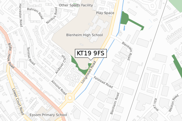
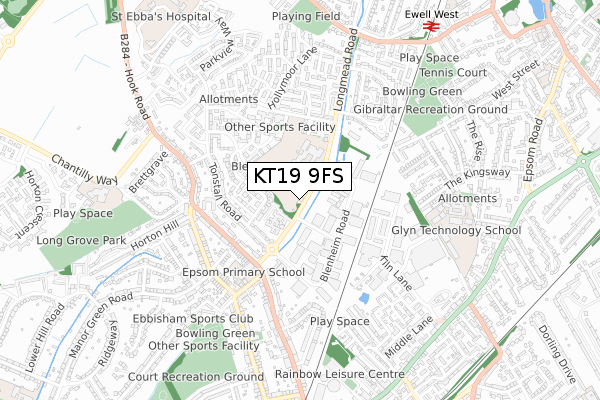
KT19 9FS is located in the Court electoral ward, within the local authority district of Epsom and Ewell and the English Parliamentary constituency of Epsom and Ewell. The Sub Integrated Care Board (ICB) Location is NHS Surrey Heartlands ICB - 92A and the police force is Surrey. This postcode has been in use since January 2018.


GetTheData
Source: OS Open Zoomstack (Ordnance Survey)
Licence: Open Government Licence (requires attribution)
Attribution: Contains OS data © Crown copyright and database right 2025
Source: Open Postcode Geo
Licence: Open Government Licence (requires attribution)
Attribution: Contains OS data © Crown copyright and database right 2025; Contains Royal Mail data © Royal Mail copyright and database right 2025; Source: Office for National Statistics licensed under the Open Government Licence v.3.0
| Easting | 520921 |
| Northing | 161951 |
| Latitude | 51.343789 |
| Longitude | -0.265226 |
GetTheData
Source: Open Postcode Geo
Licence: Open Government Licence
| Country | England |
| Postcode District | KT19 |
➜ See where KT19 is on a map ➜ Where is Epsom? | |
GetTheData
Source: Land Registry Price Paid Data
Licence: Open Government Licence
| Ward | Court |
| Constituency | Epsom And Ewell |
GetTheData
Source: ONS Postcode Database
Licence: Open Government Licence
| Felstead Road (Longmead Road) | Ewell | 119m |
| Felstead Road (Longmead Road) | Ewell | 150m |
| Blenheim High School (Longmead Road) | Longmead | 254m |
| Blenheim High School (Longmead Road) | Longmead | 301m |
| Longmead Road (Hook Road) | Ewell | 320m |
| Ewell West Station | 0.9km |
| Epsom Station | 1.1km |
| Ewell East Station | 1.7km |
GetTheData
Source: NaPTAN
Licence: Open Government Licence
| Percentage of properties with Next Generation Access | 100.0% |
| Percentage of properties with Superfast Broadband | 100.0% |
| Percentage of properties with Ultrafast Broadband | 0.0% |
| Percentage of properties with Full Fibre Broadband | 0.0% |
Superfast Broadband is between 30Mbps and 300Mbps
Ultrafast Broadband is > 300Mbps
| Median download speed | 62.8Mbps |
| Average download speed | 48.9Mbps |
| Maximum download speed | 74.32Mbps |
| Median upload speed | 14.6Mbps |
| Average upload speed | 11.9Mbps |
| Maximum upload speed | 20.00Mbps |
| Percentage of properties unable to receive 2Mbps | 0.0% |
| Percentage of properties unable to receive 5Mbps | 0.0% |
| Percentage of properties unable to receive 10Mbps | 0.0% |
| Percentage of properties unable to receive 30Mbps | 0.0% |
GetTheData
Source: Ofcom
Licence: Ofcom Terms of Use (requires attribution)
GetTheData
Source: ONS Postcode Database
Licence: Open Government Licence


➜ Get more ratings from the Food Standards Agency
GetTheData
Source: Food Standards Agency
Licence: FSA terms & conditions
| Last Collection | |||
|---|---|---|---|
| Location | Mon-Fri | Sat | Distance |
| Harvester Road | 17:00 | 12:00 | 463m |
| Marston | 17:45 | 12:30 | 493m |
| Marsh Lane Avenue | 17:00 | 12:00 | 526m |
GetTheData
Source: Dracos
Licence: Creative Commons Attribution-ShareAlike
The below table lists the International Territorial Level (ITL) codes (formerly Nomenclature of Territorial Units for Statistics (NUTS) codes) and Local Administrative Units (LAU) codes for KT19 9FS:
| ITL 1 Code | Name |
|---|---|
| TLJ | South East (England) |
| ITL 2 Code | Name |
| TLJ2 | Surrey, East and West Sussex |
| ITL 3 Code | Name |
| TLJ26 | East Surrey |
| LAU 1 Code | Name |
| E07000208 | Epsom and Ewell |
GetTheData
Source: ONS Postcode Directory
Licence: Open Government Licence
The below table lists the Census Output Area (OA), Lower Layer Super Output Area (LSOA), and Middle Layer Super Output Area (MSOA) for KT19 9FS:
| Code | Name | |
|---|---|---|
| OA | E00154979 | |
| LSOA | E01030385 | Epsom and Ewell 007A |
| MSOA | E02006341 | Epsom and Ewell 007 |
GetTheData
Source: ONS Postcode Directory
Licence: Open Government Licence
| KT19 9DB | Andover Close | 133m |
| KT19 9QN | First Quarter | 160m |
| KT19 9DA | Andover Close | 195m |
| KT19 9DS | Almond Road | 209m |
| KT19 9DD | Blakeney Close | 223m |
| KT19 9DW | Teddington Close | 253m |
| KT19 9DJ | Relko Court | 278m |
| KT19 9DE | Bloomsbury Close | 279m |
| KT19 9BA | Roy Richmond Way | 280m |
| KT19 9AP | Blenheim Road | 287m |
GetTheData
Source: Open Postcode Geo; Land Registry Price Paid Data
Licence: Open Government Licence