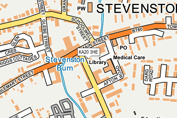
KA20 3HE is located in the Saltcoats and Stevenston electoral ward, within the council area of North Ayrshire and the Scottish Parliamentary constituency of North Ayrshire and Arran. The Community Health Partnership is North Ayrshire Community Health Partnership and the police force is Scotland. This postcode has been in use since June 2010.


GetTheData
Source: OS OpenMap – Local (Ordnance Survey)
Source: OS VectorMap District (Ordnance Survey)
Licence: Open Government Licence (requires attribution)
| Easting | 226603 |
| Northing | 641987 |
| Latitude | 55.640413 |
| Longitude | -4.756576 |
GetTheData
Source: Open Postcode Geo
Licence: Open Government Licence
| Country | Scotland |
| Postcode District | KA20 |
➜ See where KA20 is on a map ➜ Where is Stevenston? | |
GetTheData
Source: Land Registry Price Paid Data
Licence: Open Government Licence
| Ward | Saltcoats And Stevenston |
| Constituency | North Ayrshire And Arran |
GetTheData
Source: ONS Postcode Database
Licence: Open Government Licence
| Town Square (New Street) | Stevenston | 10m |
| New Street (Main Street) | Stevenston | 51m |
| Schoolwell Street (Main Street) | Stevenston | 52m |
| Glebe Street (Fullerton Place) | Stevenston | 61m |
| Glen Crescent (Glebe Street) | Stevenston | 160m |
| Stevenston Station | 0.8km |
| Saltcoats Station | 1.9km |
| Ardrossan South Beach Station | 2.8km |
GetTheData
Source: NaPTAN
Licence: Open Government Licence
GetTheData
Source: ONS Postcode Database
Licence: Open Government Licence


➜ Get more ratings from the Food Standards Agency
GetTheData
Source: Food Standards Agency
Licence: FSA terms & conditions
| Last Collection | |||
|---|---|---|---|
| Location | Mon-Fri | Sat | Distance |
| Post Office | 16:15 | 11:30 | 1,185m |
| Morrisons | 16:15 | 10:30 | 1,482m |
| Parkhouse Garage | 17:30 | 11:15 | 2,700m |
GetTheData
Source: Dracos
Licence: Creative Commons Attribution-ShareAlike
The below table lists the International Territorial Level (ITL) codes (formerly Nomenclature of Territorial Units for Statistics (NUTS) codes) and Local Administrative Units (LAU) codes for KA20 3HE:
| ITL 1 Code | Name |
|---|---|
| TLM | Scotland |
| ITL 2 Code | Name |
| TLM9 | Southern Scotland |
| ITL 3 Code | Name |
| TLM93 | East Ayrshire and North Ayrshire mainland |
| LAU 1 Code | Name |
| S30000018 | North Ayrshire mainland |
GetTheData
Source: ONS Postcode Directory
Licence: Open Government Licence
The below table lists the Census Output Area (OA), Lower Layer Super Output Area (LSOA), and Middle Layer Super Output Area (MSOA) for KA20 3HE:
| Code | Name | |
|---|---|---|
| OA | S00122871 | |
| LSOA | S01011268 | Stevenston North West - 02 |
| MSOA | S02002117 | Stevenston North West |
GetTheData
Source: ONS Postcode Directory
Licence: Open Government Licence