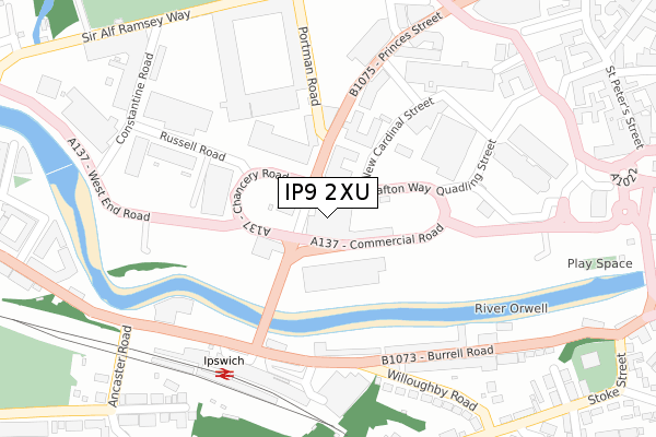
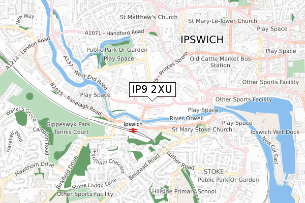
IP9 2XU is located in the Alexandra electoral ward, within the local authority district of Ipswich and the English Parliamentary constituency of Ipswich. The Sub Integrated Care Board (ICB) Location is NHS Suffolk and North East Essex ICB - 06L and the police force is Suffolk. This postcode has been in use since June 2019.


GetTheData
Source: OS Open Zoomstack (Ordnance Survey)
Licence: Open Government Licence (requires attribution)
Attribution: Contains OS data © Crown copyright and database right 2025
Source: Open Postcode Geo
Licence: Open Government Licence (requires attribution)
Attribution: Contains OS data © Crown copyright and database right 2025; Contains Royal Mail data © Royal Mail copyright and database right 2025; Source: Office for National Statistics licensed under the Open Government Licence v.3.0
| Easting | 615838 |
| Northing | 244034 |
| Latitude | 52.052652 |
| Longitude | 1.146613 |
GetTheData
Source: Open Postcode Geo
Licence: Open Government Licence
| Country | England |
| Postcode District | IP9 |
➜ See where IP9 is on a map ➜ Where is Ipswich? | |
GetTheData
Source: Land Registry Price Paid Data
Licence: Open Government Licence
| Ward | Alexandra |
| Constituency | Ipswich |
GetTheData
Source: ONS Postcode Database
Licence: Open Government Licence
| Fire Station (Princes Street) | Ipswich | 32m |
| Fire Station (Princes Street) | Ipswich | 45m |
| Station Hotel (Burrell Road) | Ipswich | 208m |
| Railway Station (Forecourt) | Ipswich | 234m |
| Endeavour House (Russell Road) | Ipswich | 236m |
| Ipswich Station | 0.3km |
| Derby Road (Ipswich) Station | 2.5km |
| Westerfield Station | 3.4km |
GetTheData
Source: NaPTAN
Licence: Open Government Licence
GetTheData
Source: ONS Postcode Database
Licence: Open Government Licence


➜ Get more ratings from the Food Standards Agency
GetTheData
Source: Food Standards Agency
Licence: FSA terms & conditions
| Last Collection | |||
|---|---|---|---|
| Location | Mon-Fri | Sat | Distance |
| Railway Station | 18:30 | 12:30 | 255m |
| 40 Portman Road | 17:45 | 12:15 | 389m |
| 34 Princes Street | 18:30 | 12:00 | 458m |
GetTheData
Source: Dracos
Licence: Creative Commons Attribution-ShareAlike
| Risk of IP9 2XU flooding from rivers and sea | Low |
| ➜ IP9 2XU flood map | |
GetTheData
Source: Open Flood Risk by Postcode
Licence: Open Government Licence
The below table lists the International Territorial Level (ITL) codes (formerly Nomenclature of Territorial Units for Statistics (NUTS) codes) and Local Administrative Units (LAU) codes for IP9 2XU:
| ITL 1 Code | Name |
|---|---|
| TLH | East |
| ITL 2 Code | Name |
| TLH1 | East Anglia |
| ITL 3 Code | Name |
| TLH14 | Suffolk CC |
| LAU 1 Code | Name |
| E07000202 | Ipswich |
GetTheData
Source: ONS Postcode Directory
Licence: Open Government Licence
The below table lists the Census Output Area (OA), Lower Layer Super Output Area (LSOA), and Middle Layer Super Output Area (MSOA) for IP9 2XU:
| Code | Name | |
|---|---|---|
| OA | E00170846 | |
| LSOA | E01033124 | Ipswich 007F |
| MSOA | E02006251 | Ipswich 007 |
GetTheData
Source: ONS Postcode Directory
Licence: Open Government Licence
| IP1 2BN | Portman Road | 135m |
| IP1 1RS | Princes Street | 167m |
| IP2 8AH | Burrell Road | 205m |
| IP1 2AG | Russell Road | 228m |
| IP2 8AD | Burrell Road | 239m |
| IP1 2DE | Russell Road | 258m |
| IP2 0AR | Pooleys Yard | 265m |
| IP2 8AB | Burrell Road | 312m |
| IP2 8AP | Willoughby Road | 328m |
| IP1 1RY | Princes Street | 345m |
GetTheData
Source: Open Postcode Geo; Land Registry Price Paid Data
Licence: Open Government Licence