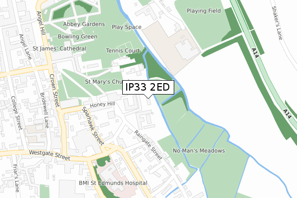
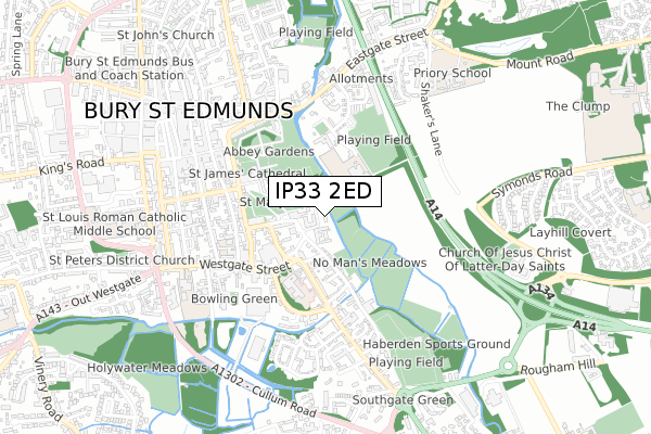
IP33 2ED is located in the Abbeygate electoral ward, within the local authority district of West Suffolk and the English Parliamentary constituency of Bury St Edmunds. The Sub Integrated Care Board (ICB) Location is NHS Suffolk and North East Essex ICB - 07K and the police force is Suffolk. This postcode has been in use since October 2018.


GetTheData
Source: OS Open Zoomstack (Ordnance Survey)
Licence: Open Government Licence (requires attribution)
Attribution: Contains OS data © Crown copyright and database right 2024
Source: Open Postcode Geo
Licence: Open Government Licence (requires attribution)
Attribution: Contains OS data © Crown copyright and database right 2024; Contains Royal Mail data © Royal Mail copyright and database right 2024; Source: Office for National Statistics licensed under the Open Government Licence v.3.0
| Easting | 585890 |
| Northing | 263964 |
| Latitude | 52.242480 |
| Longitude | 0.721290 |
GetTheData
Source: Open Postcode Geo
Licence: Open Government Licence
| Country | England |
| Postcode District | IP33 |
➜ See where IP33 is on a map ➜ Where is Bury St Edmunds? | |
GetTheData
Source: Land Registry Price Paid Data
Licence: Open Government Licence
| Ward | Abbeygate |
| Constituency | Bury St Edmunds |
GetTheData
Source: ONS Postcode Database
Licence: Open Government Licence
| Brewery (Sparhawk Road) | Bury St Edmunds | 208m |
| Chequer Square (Crown Street) | Bury St Edmunds | 329m |
| Theatre Royal (Westgate Street) | Bury St Edmunds | 330m |
| Chequer Square (Crown Street) | Bury St Edmunds | 350m |
| Middle School (The Vinefields) | Bury St Edmunds | 360m |
| Bury St Edmunds Station | 1.4km |
GetTheData
Source: NaPTAN
Licence: Open Government Licence
GetTheData
Source: ONS Postcode Database
Licence: Open Government Licence


➜ Get more ratings from the Food Standards Agency
GetTheData
Source: Food Standards Agency
Licence: FSA terms & conditions
| Last Collection | |||
|---|---|---|---|
| Location | Mon-Fri | Sat | Distance |
| St. Marys Square | 17:30 | 11:30 | 213m |
| 33 Crown Street | 17:30 | 11:30 | 307m |
| 29-30 Angel Hill | 17:30 | 11:30 | 452m |
GetTheData
Source: Dracos
Licence: Creative Commons Attribution-ShareAlike
The below table lists the International Territorial Level (ITL) codes (formerly Nomenclature of Territorial Units for Statistics (NUTS) codes) and Local Administrative Units (LAU) codes for IP33 2ED:
| ITL 1 Code | Name |
|---|---|
| TLH | East |
| ITL 2 Code | Name |
| TLH1 | East Anglia |
| ITL 3 Code | Name |
| TLH14 | Suffolk CC |
| LAU 1 Code | Name |
| E07000245 | West Suffolk |
GetTheData
Source: ONS Postcode Directory
Licence: Open Government Licence
The below table lists the Census Output Area (OA), Lower Layer Super Output Area (LSOA), and Middle Layer Super Output Area (MSOA) for IP33 2ED:
| Code | Name | |
|---|---|---|
| OA | E00153383 | |
| LSOA | E01030093 | St Edmundsbury 006B |
| MSOA | E02006278 | St Edmundsbury 006 |
GetTheData
Source: ONS Postcode Directory
Licence: Open Government Licence
| IP33 2BA | Shirehall Way | 48m |
| IP33 2AW | Prussia Lane | 162m |
| IP33 2AJ | St Marys Square | 178m |
| IP33 2AR | Raingate Street | 178m |
| IP33 2AS | Rutland Square | 199m |
| IP33 1RY | Sparhawk Street | 205m |
| IP33 1RT | Honey Hill | 214m |
| IP33 1RS | The Great Churchyard | 221m |
| IP33 2AT | Toper Lane | 250m |
| IP33 2AF | Southgate Street | 265m |
GetTheData
Source: Open Postcode Geo; Land Registry Price Paid Data
Licence: Open Government Licence