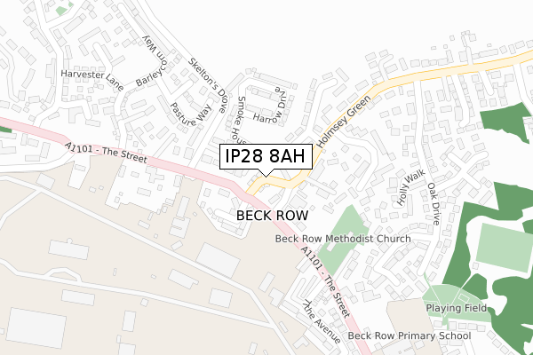
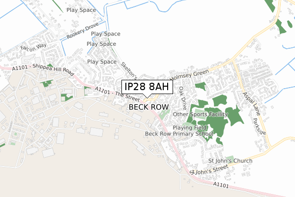
IP28 8AH is located in the The Rows electoral ward, within the local authority district of West Suffolk and the English Parliamentary constituency of West Suffolk. The Sub Integrated Care Board (ICB) Location is NHS Suffolk and North East Essex ICB - 07K and the police force is Suffolk. This postcode has been in use since July 2018.


GetTheData
Source: OS Open Zoomstack (Ordnance Survey)
Licence: Open Government Licence (requires attribution)
Attribution: Contains OS data © Crown copyright and database right 2025
Source: Open Postcode Geo
Licence: Open Government Licence (requires attribution)
Attribution: Contains OS data © Crown copyright and database right 2025; Contains Royal Mail data © Royal Mail copyright and database right 2025; Source: Office for National Statistics licensed under the Open Government Licence v.3.0
| Easting | 569455 |
| Northing | 277456 |
| Latitude | 52.368963 |
| Longitude | 0.487610 |
GetTheData
Source: Open Postcode Geo
Licence: Open Government Licence
| Country | England |
| Postcode District | IP28 |
➜ See where IP28 is on a map ➜ Where is Beck Row? | |
GetTheData
Source: Land Registry Price Paid Data
Licence: Open Government Licence
| Ward | The Rows |
| Constituency | West Suffolk |
GetTheData
Source: ONS Postcode Database
Licence: Open Government Licence
| Kings Head (The Street) | Beck Row | 64m |
| Kings Head (The Street) | Beck Row | 75m |
| Village Stores (Holmsey Green) | Beck Row | 269m |
| Village Stores (Holmsey Green) | Beck Row | 280m |
| Lamble Close | Beck Row | 302m |
GetTheData
Source: NaPTAN
Licence: Open Government Licence
GetTheData
Source: ONS Postcode Database
Licence: Open Government Licence


➜ Get more ratings from the Food Standards Agency
GetTheData
Source: Food Standards Agency
Licence: FSA terms & conditions
| Last Collection | |||
|---|---|---|---|
| Location | Mon-Fri | Sat | Distance |
| Holmsey Green | 15:30 | 09:15 | 58m |
| The Street | 11:00 | 11:15 | 833m |
| Chiswick Avenue | 17:00 | 09:00 | 2,140m |
GetTheData
Source: Dracos
Licence: Creative Commons Attribution-ShareAlike
The below table lists the International Territorial Level (ITL) codes (formerly Nomenclature of Territorial Units for Statistics (NUTS) codes) and Local Administrative Units (LAU) codes for IP28 8AH:
| ITL 1 Code | Name |
|---|---|
| TLH | East |
| ITL 2 Code | Name |
| TLH1 | East Anglia |
| ITL 3 Code | Name |
| TLH14 | Suffolk CC |
| LAU 1 Code | Name |
| E07000245 | West Suffolk |
GetTheData
Source: ONS Postcode Directory
Licence: Open Government Licence
The below table lists the Census Output Area (OA), Lower Layer Super Output Area (LSOA), and Middle Layer Super Output Area (MSOA) for IP28 8AH:
| Code | Name | |
|---|---|---|
| OA | E00165738 | |
| LSOA | E01032525 | Forest Heath 003H |
| MSOA | E02006240 | Forest Heath 003 |
GetTheData
Source: ONS Postcode Directory
Licence: Open Government Licence
| IP28 8AE | The Street | 33m |
| IP28 8AG | Church Close | 102m |
| IP28 8UD | Hawthorn Walk | 102m |
| IP28 8BZ | Tithe Avenue | 123m |
| IP28 8UB | Holly Walk | 217m |
| IP28 8AF | Lamble Close | 220m |
| IP28 8UA | Oak Drive | 241m |
| IP28 8AD | The Street | 268m |
| IP28 8AJ | Holmsey Green | 277m |
| IP28 8HH | Holmsey Green Gardens | 279m |
GetTheData
Source: Open Postcode Geo; Land Registry Price Paid Data
Licence: Open Government Licence