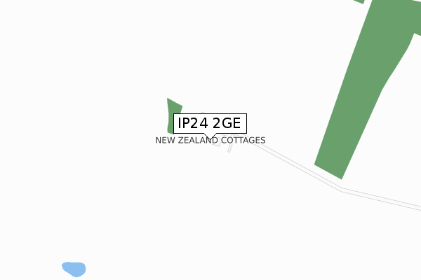
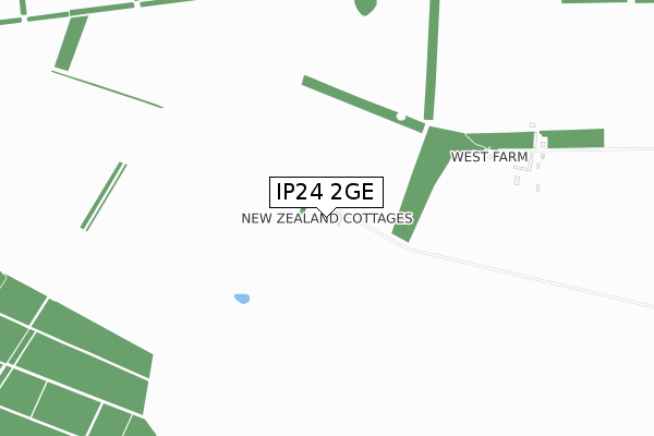
IP24 2GE is located in the Bardwell electoral ward, within the local authority district of West Suffolk and the English Parliamentary constituency of West Suffolk. The Sub Integrated Care Board (ICB) Location is NHS Suffolk and North East Essex ICB - 06L and the police force is Suffolk. This postcode has been in use since August 2019.


GetTheData
Source: OS Open Zoomstack (Ordnance Survey)
Licence: Open Government Licence (requires attribution)
Attribution: Contains OS data © Crown copyright and database right 2025
Source: Open Postcode Geo
Licence: Open Government Licence (requires attribution)
Attribution: Contains OS data © Crown copyright and database right 2025; Contains Royal Mail data © Royal Mail copyright and database right 2025; Source: Office for National Statistics licensed under the Open Government Licence v.3.0
| Easting | 585249 |
| Northing | 276487 |
| Latitude | 52.355156 |
| Longitude | 0.718794 |
GetTheData
Source: Open Postcode Geo
Licence: Open Government Licence
| Country | England |
| Postcode District | IP24 |
➜ See where IP24 is on a map | |
GetTheData
Source: Land Registry Price Paid Data
Licence: Open Government Licence
| Ward | Bardwell |
| Constituency | West Suffolk |
GetTheData
Source: ONS Postcode Database
Licence: Open Government Licence
| Rymer Farm (A134) | Rymer Point | 1,500m |
| Rymer Farm (A134) | Rymer Point | 1,516m |
GetTheData
Source: NaPTAN
Licence: Open Government Licence
GetTheData
Source: ONS Postcode Database
Licence: Open Government Licence
| Last Collection | |||
|---|---|---|---|
| Location | Mon-Fri | Sat | Distance |
| Rymer Point | 16:30 | 10:00 | 1,767m |
| Railway Station | 16:30 | 08:10 | 2,911m |
| Seven Hills | 16:00 | 09:00 | 3,088m |
GetTheData
Source: Dracos
Licence: Creative Commons Attribution-ShareAlike
The below table lists the International Territorial Level (ITL) codes (formerly Nomenclature of Territorial Units for Statistics (NUTS) codes) and Local Administrative Units (LAU) codes for IP24 2GE:
| ITL 1 Code | Name |
|---|---|
| TLH | East |
| ITL 2 Code | Name |
| TLH1 | East Anglia |
| ITL 3 Code | Name |
| TLH14 | Suffolk CC |
| LAU 1 Code | Name |
| E07000245 | West Suffolk |
GetTheData
Source: ONS Postcode Directory
Licence: Open Government Licence
The below table lists the Census Output Area (OA), Lower Layer Super Output Area (LSOA), and Middle Layer Super Output Area (MSOA) for IP24 2GE:
| Code | Name | |
|---|---|---|
| OA | E00153401 | |
| LSOA | E01030094 | St Edmundsbury 002A |
| MSOA | E02006274 | St Edmundsbury 002 |
GetTheData
Source: ONS Postcode Directory
Licence: Open Government Licence
| IP24 2PL | Bury Road | 791m |
| IP31 1PR | Culford Heath | 1696m |
| IP31 1PP | Culford Heath | 1828m |
| IP24 2PP | 1911m | |
| IP31 1PW | Seven Hills | 2399m |
| IP31 1PU | Seven Hills | 2797m |
| IP24 2PD | Station Road | 2861m |
| IP24 2PE | Station Road | 2953m |
| IP24 2NG | Mill Lane | 2969m |
| IP24 2NF | The Street | 3123m |
GetTheData
Source: Open Postcode Geo; Land Registry Price Paid Data
Licence: Open Government Licence