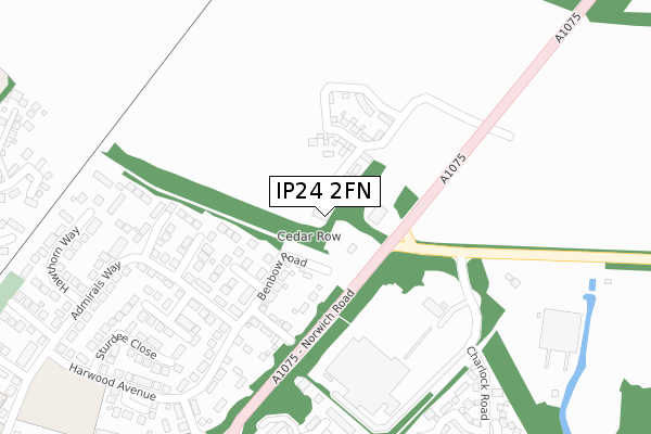
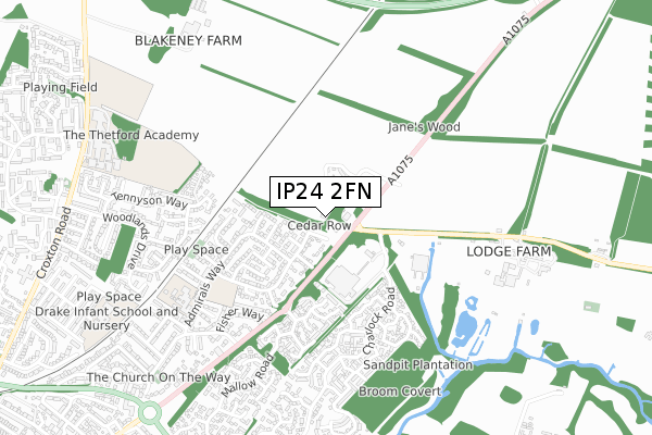
IP24 2FN is located in the Forest electoral ward, within the local authority district of Breckland and the English Parliamentary constituency of South West Norfolk. The Sub Integrated Care Board (ICB) Location is NHS Norfolk and Waveney ICB - 26A and the police force is Norfolk. This postcode has been in use since November 2019.


GetTheData
Source: OS Open Zoomstack (Ordnance Survey)
Licence: Open Government Licence (requires attribution)
Attribution: Contains OS data © Crown copyright and database right 2025
Source: Open Postcode Geo
Licence: Open Government Licence (requires attribution)
Attribution: Contains OS data © Crown copyright and database right 2025; Contains Royal Mail data © Royal Mail copyright and database right 2025; Source: Office for National Statistics licensed under the Open Government Licence v.3.0
| Easting | 588389 |
| Northing | 284420 |
| Latitude | 52.425322 |
| Longitude | 0.769298 |
GetTheData
Source: Open Postcode Geo
Licence: Open Government Licence
| Country | England |
| Postcode District | IP24 |
➜ See where IP24 is on a map ➜ Where is Thetford? | |
GetTheData
Source: Land Registry Price Paid Data
Licence: Open Government Licence
| Ward | Forest |
| Constituency | South West Norfolk |
GetTheData
Source: ONS Postcode Database
Licence: Open Government Licence
25, SWALE VIEW, THETFORD, IP24 2FN 2021 11 FEB £320,000 |
GetTheData
Source: HM Land Registry Price Paid Data
Licence: Contains HM Land Registry data © Crown copyright and database right 2025. This data is licensed under the Open Government Licence v3.0.
| Brettenham Road (Norwich Road) | Thetford | 134m |
| Brettenham Road (Norwich Road) | Thetford | 154m |
| Frobisher Close (Admirals Way) | Thetford | 271m |
| Tesco Superstore (Brettenham Road) | Thetford | 349m |
| Harwood Ave | Thetford | 400m |
| Thetford Station | 1.8km |
GetTheData
Source: NaPTAN
Licence: Open Government Licence
GetTheData
Source: ONS Postcode Database
Licence: Open Government Licence


➜ Get more ratings from the Food Standards Agency
GetTheData
Source: Food Standards Agency
Licence: FSA terms & conditions
| Last Collection | |||
|---|---|---|---|
| Location | Mon-Fri | Sat | Distance |
| Post Office, Admirals Way | 17:00 | 12:00 | 515m |
| Kilverstone Hall | 15:30 | 08:00 | 737m |
| Croxton Road | 17:30 | 11:45 | 1,067m |
GetTheData
Source: Dracos
Licence: Creative Commons Attribution-ShareAlike
The below table lists the International Territorial Level (ITL) codes (formerly Nomenclature of Territorial Units for Statistics (NUTS) codes) and Local Administrative Units (LAU) codes for IP24 2FN:
| ITL 1 Code | Name |
|---|---|
| TLH | East |
| ITL 2 Code | Name |
| TLH1 | East Anglia |
| ITL 3 Code | Name |
| TLH17 | Breckland and South Norfolk |
| LAU 1 Code | Name |
| E07000143 | Breckland |
GetTheData
Source: ONS Postcode Directory
Licence: Open Government Licence
The below table lists the Census Output Area (OA), Lower Layer Super Output Area (LSOA), and Middle Layer Super Output Area (MSOA) for IP24 2FN:
| Code | Name | |
|---|---|---|
| OA | E00134623 | |
| LSOA | E01026493 | Breckland 012D |
| MSOA | E02005514 | Breckland 012 |
GetTheData
Source: ONS Postcode Directory
Licence: Open Government Licence
| IP24 2TH | Cunningham Walk | 175m |
| IP24 2TW | Benbow Road | 178m |
| IP24 2TL | Eppingham Close | 221m |
| IP24 2TN | Benbow Road | 231m |
| IP24 2TQ | Cunningham Close | 240m |
| IP24 2TJ | Admirals Way | 256m |
| IP24 2TE | Collingwood Way | 293m |
| IP24 2TF | Collingwood Walk | 310m |
| IP24 2TG | Admirals Way | 312m |
| IP24 2TD | Hawthorn Walk | 338m |
GetTheData
Source: Open Postcode Geo; Land Registry Price Paid Data
Licence: Open Government Licence