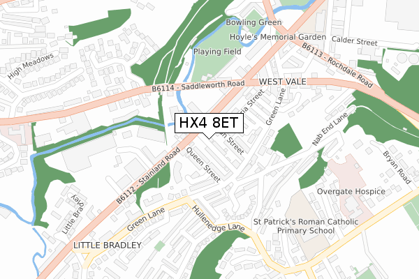
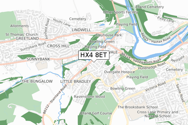
HX4 8ET is located in the Greetland and Stainland electoral ward, within the metropolitan district of Calderdale and the English Parliamentary constituency of Calder Valley. The Sub Integrated Care Board (ICB) Location is NHS West Yorkshire ICB - 02T and the police force is West Yorkshire. This postcode has been in use since April 2019.


GetTheData
Source: OS Open Zoomstack (Ordnance Survey)
Licence: Open Government Licence (requires attribution)
Attribution: Contains OS data © Crown copyright and database right 2025
Source: Open Postcode Geo
Licence: Open Government Licence (requires attribution)
Attribution: Contains OS data © Crown copyright and database right 2025; Contains Royal Mail data © Royal Mail copyright and database right 2025; Source: Office for National Statistics licensed under the Open Government Licence v.3.0
| Easting | 409501 |
| Northing | 421003 |
| Latitude | 53.685413 |
| Longitude | -1.857621 |
GetTheData
Source: Open Postcode Geo
Licence: Open Government Licence
| Country | England |
| Postcode District | HX4 |
➜ See where HX4 is on a map ➜ Where is Elland? | |
GetTheData
Source: Land Registry Price Paid Data
Licence: Open Government Licence
| Ward | Greetland And Stainland |
| Constituency | Calder Valley |
GetTheData
Source: ONS Postcode Database
Licence: Open Government Licence
| Stainland Rd Queen Street (Stainland Road) | West Vale | 55m |
| Stainland Rd Queen Street (Stainland Road) | West Vale | 80m |
| Stainland Rd Dean Street (Stainland Road) | West Vale | 89m |
| Saddleworth Rd Stainland Road (Saddleworth Road) | West Vale | 126m |
| Saddleworth Rd Stainland Road (Saddleworth Road) | West Vale | 138m |
| Halifax Station | 4km |
| Sowerby Bridge Station | 4.1km |
| Huddersfield Station | 6.3km |
GetTheData
Source: NaPTAN
Licence: Open Government Licence
GetTheData
Source: ONS Postcode Database
Licence: Open Government Licence

➜ Get more ratings from the Food Standards Agency
GetTheData
Source: Food Standards Agency
Licence: FSA terms & conditions
| Last Collection | |||
|---|---|---|---|
| Location | Mon-Fri | Sat | Distance |
| Woodside West Vale | 17:15 | 08:00 | 148m |
| 60 Saddleworth Road | 17:15 | 12:00 | 241m |
| Hullen Edge Road | 17:00 | 11:30 | 424m |
GetTheData
Source: Dracos
Licence: Creative Commons Attribution-ShareAlike
The below table lists the International Territorial Level (ITL) codes (formerly Nomenclature of Territorial Units for Statistics (NUTS) codes) and Local Administrative Units (LAU) codes for HX4 8ET:
| ITL 1 Code | Name |
|---|---|
| TLE | Yorkshire and The Humber |
| ITL 2 Code | Name |
| TLE4 | West Yorkshire |
| ITL 3 Code | Name |
| TLE44 | Calderdale and Kirklees |
| LAU 1 Code | Name |
| E08000033 | Calderdale |
GetTheData
Source: ONS Postcode Directory
Licence: Open Government Licence
The below table lists the Census Output Area (OA), Lower Layer Super Output Area (LSOA), and Middle Layer Super Output Area (MSOA) for HX4 8ET:
| Code | Name | |
|---|---|---|
| OA | E00054940 | |
| LSOA | E01010898 | Calderdale 026C |
| MSOA | E02002269 | Calderdale 026 |
GetTheData
Source: ONS Postcode Directory
Licence: Open Government Licence
| HX4 8DP | Middle Dean Street | 45m |
| HX4 8BD | Stainland Road | 52m |
| HX4 8DS | Queen Street | 53m |
| HX4 8DW | Dean Street | 53m |
| HX4 8DR | Back Queen Street | 73m |
| HX4 8DN | High Street | 88m |
| HX4 8DE | Ingwood Parade | 98m |
| HX4 8DL | Cross Street | 103m |
| HX4 8DB | Green Lane | 115m |
| HX4 8DJ | Union Street | 124m |
GetTheData
Source: Open Postcode Geo; Land Registry Price Paid Data
Licence: Open Government Licence