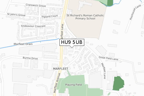
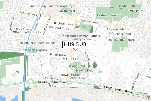
HU9 5UB is located in the Marfleet electoral ward, within the unitary authority of Kingston upon Hull, City of and the English Parliamentary constituency of Kingston upon Hull East. The Sub Integrated Care Board (ICB) Location is NHS Humber and North Yorkshire ICB - 03F and the police force is Humberside. This postcode has been in use since March 2018.


GetTheData
Source: OS Open Zoomstack (Ordnance Survey)
Licence: Open Government Licence (requires attribution)
Attribution: Contains OS data © Crown copyright and database right 2025
Source: Open Postcode Geo
Licence: Open Government Licence (requires attribution)
Attribution: Contains OS data © Crown copyright and database right 2025; Contains Royal Mail data © Royal Mail copyright and database right 2025; Source: Office for National Statistics licensed under the Open Government Licence v.3.0
| Easting | 513948 |
| Northing | 429854 |
| Latitude | 53.752624 |
| Longitude | -0.273340 |
GetTheData
Source: Open Postcode Geo
Licence: Open Government Licence
| Country | England |
| Postcode District | HU9 |
➜ See where HU9 is on a map ➜ Where is Kingston upon Hull? | |
GetTheData
Source: Land Registry Price Paid Data
Licence: Open Government Licence
| Ward | Marfleet |
| Constituency | Kingston Upon Hull East |
GetTheData
Source: ONS Postcode Database
Licence: Open Government Licence
| Marfleet Lane (Marfleet Ave) | Marfleet | 74m |
| Acasta Wy (Marfleet Lane) | Marfleet | 119m |
| The Antler Club (Marfleet Avenue) | Marfleet | 220m |
| Wansford Grove (Marfleet Lane) | Preston Road Estate | 324m |
| St Richard's Rc Primary School (Marfleet Lane) | Preston Road Estate | 335m |
| Hull Station | 4.9km |
GetTheData
Source: NaPTAN
Licence: Open Government Licence
| Percentage of properties with Next Generation Access | 100.0% |
| Percentage of properties with Superfast Broadband | 100.0% |
| Percentage of properties with Ultrafast Broadband | 100.0% |
| Percentage of properties with Full Fibre Broadband | 100.0% |
Superfast Broadband is between 30Mbps and 300Mbps
Ultrafast Broadband is > 300Mbps
| Percentage of properties unable to receive 2Mbps | 0.0% |
| Percentage of properties unable to receive 5Mbps | 0.0% |
| Percentage of properties unable to receive 10Mbps | 0.0% |
| Percentage of properties unable to receive 30Mbps | 0.0% |
GetTheData
Source: Ofcom
Licence: Ofcom Terms of Use (requires attribution)
GetTheData
Source: ONS Postcode Database
Licence: Open Government Licence

➜ Get more ratings from the Food Standards Agency
GetTheData
Source: Food Standards Agency
Licence: FSA terms & conditions
| Last Collection | |||
|---|---|---|---|
| Location | Mon-Fri | Sat | Distance |
| Marfleet News | 17:30 | 11:30 | 242m |
| Marfleet Post Office | 17:15 | 11:30 | 526m |
| Marfleet Lane Post Office | 17:00 | 11:30 | 615m |
GetTheData
Source: Dracos
Licence: Creative Commons Attribution-ShareAlike
| Risk of HU9 5UB flooding from rivers and sea | Low |
| ➜ HU9 5UB flood map | |
GetTheData
Source: Open Flood Risk by Postcode
Licence: Open Government Licence
The below table lists the International Territorial Level (ITL) codes (formerly Nomenclature of Territorial Units for Statistics (NUTS) codes) and Local Administrative Units (LAU) codes for HU9 5UB:
| ITL 1 Code | Name |
|---|---|
| TLE | Yorkshire and The Humber |
| ITL 2 Code | Name |
| TLE1 | East Yorkshire and Northern Lincolnshire |
| ITL 3 Code | Name |
| TLE11 | Kingston upon Hull, City of |
| LAU 1 Code | Name |
| E06000010 | Kingston upon Hull, City of |
GetTheData
Source: ONS Postcode Directory
Licence: Open Government Licence
The below table lists the Census Output Area (OA), Lower Layer Super Output Area (LSOA), and Middle Layer Super Output Area (MSOA) for HU9 5UB:
| Code | Name | |
|---|---|---|
| OA | E00064780 | |
| LSOA | E01012848 | Kingston upon Hull 020B |
| MSOA | E02002671 | Kingston upon Hull 020 |
GetTheData
Source: ONS Postcode Directory
Licence: Open Government Licence
| HU9 5SA | Marfleet Avenue | 91m |
| HU9 5TB | Marfleet Lane | 111m |
| HU9 5SE | Acasta Way | 163m |
| HU9 5RN | Marfleet Lane | 174m |
| HU9 5SZ | Endeavour Crescent | 197m |
| HU9 5TD | Marfleet Lane | 256m |
| HU9 5SB | Marfleet Avenue | 273m |
| HU9 5SY | Endeavour Crescent | 361m |
| HU9 5TT | Wansford Grove | 387m |
| HU9 5ST | St Johns Grove | 400m |
GetTheData
Source: Open Postcode Geo; Land Registry Price Paid Data
Licence: Open Government Licence